- Oregon Route 380
-
Oregon Route 380
Route information Maintained by ODOT Length: 55.49 mi (89.30 km) Existed: 2002 – present Major junctions West end:  US 26 in Prineville
East end: Beaver Creek Bridge in Paulina Highway system Oregon highways
Routes • Highways←  OR 370
US 395  →
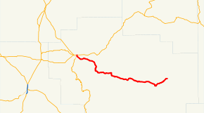
→Oregon Route 380 (OR 380) is an Oregon state highway running from Prineville to Paulina. OR 380 is known as the Paulina Highway No. 380 (see Oregon highways and routes). It is 55.49 miles (89.30 km) long and runs east–west, entirely within Crook County.
OR 380 was established in 2002 as part of Oregon's project to assign route numbers to highways that previously were not assigned.
Contents
Route description
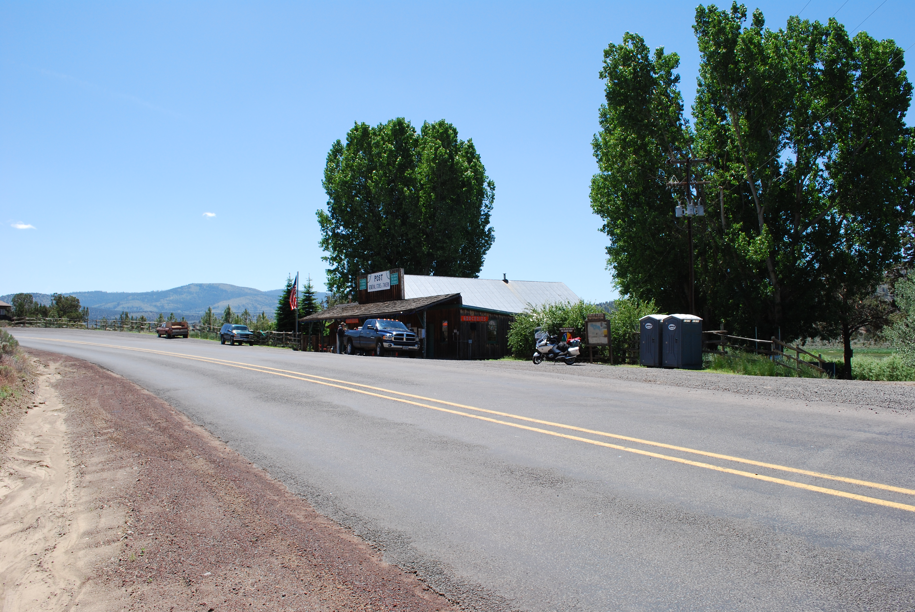
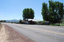 OR 380 as it travels through Post, OR
OR 380 begins at an intersection with US 26 at Prineville and heads east through Post to Paulina, where it ends at the Beaver Creek Bridge.
History
OR 380 was assigned to the Paulina Highway in 2002.
Major intersections
Milepost City Intersection 0.00 Prineville US 26 55.91 Paulina End Route References
- Oregon Department of Transportation, Descriptions of US and Oregon Routes, http://www.oregon.gov/ODOT/HWY/TRAFFIC/TEOS_Publications/PDF/Descriptions_of_US_and_Oregon_Routes.pdf, page 30.
- Oregon Department of Transportation, Paulina Highway No. 381, ftp://ftp.odot.state.or.us/tdb/trandata/maps/slchart_pdfs_1980_to_2002/Hwy380_2001.pdf
Categories:- State routes in Oregon
- Transportation in Crook County, Oregon


Wikimedia Foundation. 2010.