- Mfuwe Airport
-
Mfuwe Airport 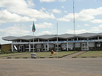
Mfuwe International Airport IATA: MFU – ICAO: FLMF Location of the airport in Zambia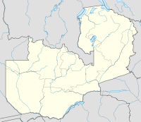
 MFU
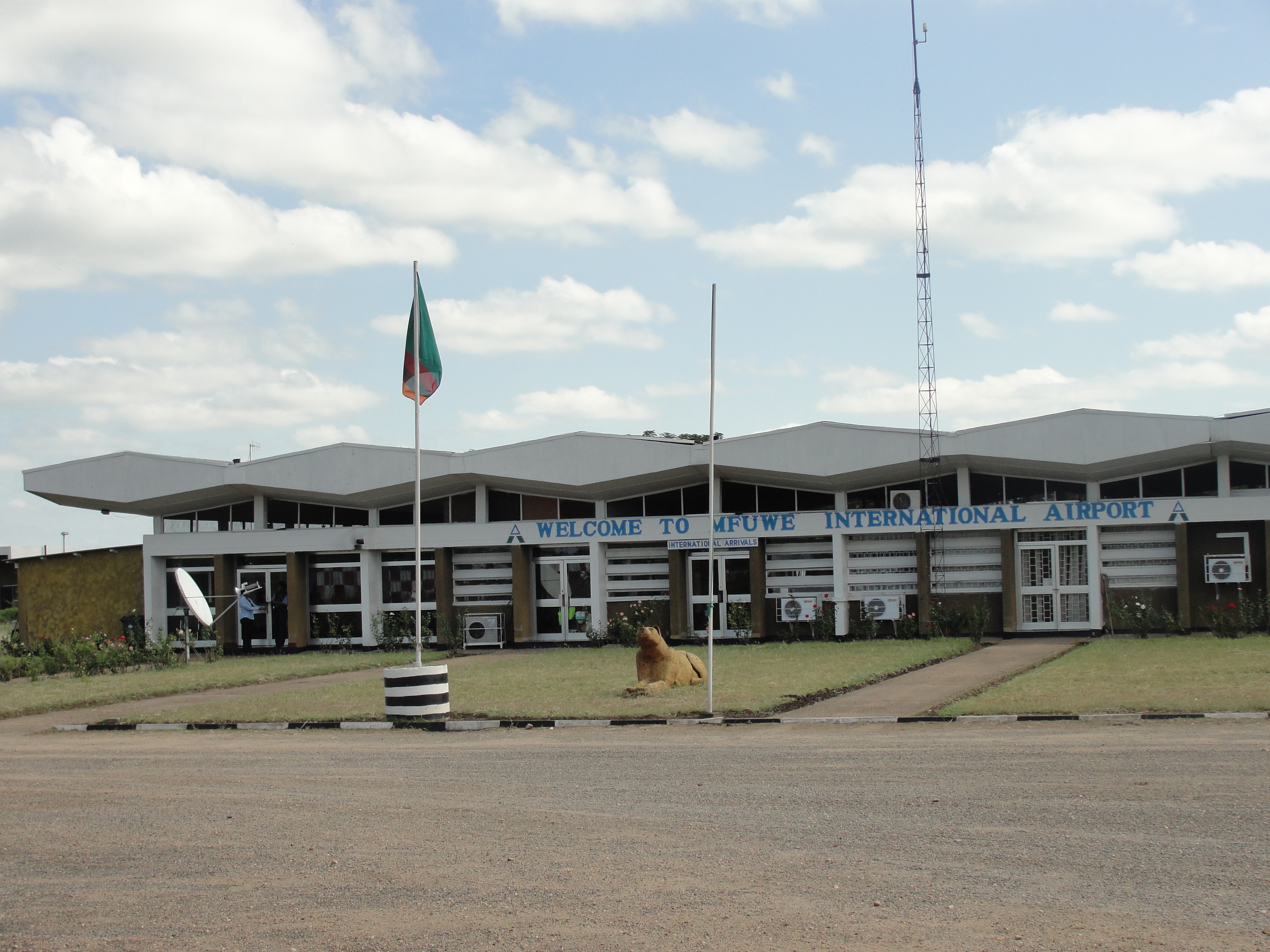
MFUSummary Airport type Military/Public Location Mfuwe Elevation AMSL 1,853 ft / 565 m Coordinates 13°15′S 31°56′E / 13.25°S 31.933°E Runways Direction Length Surface ft m 09/27 7,218 2,200 Asphalt Mfuwe Airport lies near the settlement of Mfuwe, Eastern Province, Zambia (IATA: MFU, ICAO: FLMF). It serves the tourism industry based on the nearby South Luangwa National Park and other wildlife areas in the Luangwa Valley. It has a 2.15 km surfaced runway and takes international flights in the tourist season (making it one of only four international airports in Zambia).
Airlines and destinations
Airlines Destinations Nyassa Air Taxi Lilongwe Proflight Commuter Services Lusaka References
External links
- Accident history for MFU at Aviation Safety Network
- Airport information for FLMF at Great Circle Mapper.
- Current weather for FLMF at NOAA/NWS
- Airport information for FLMF at World Aero Data. Data current as of October 2006.
Categories:- Airports in Zambia
- Zambia geography stubs
- Southern African airport stubs

Wikimedia Foundation. 2010.