- South Luangwa National Park
Infobox_protected_area | name = South Luangwa National Park
iucn_category = II

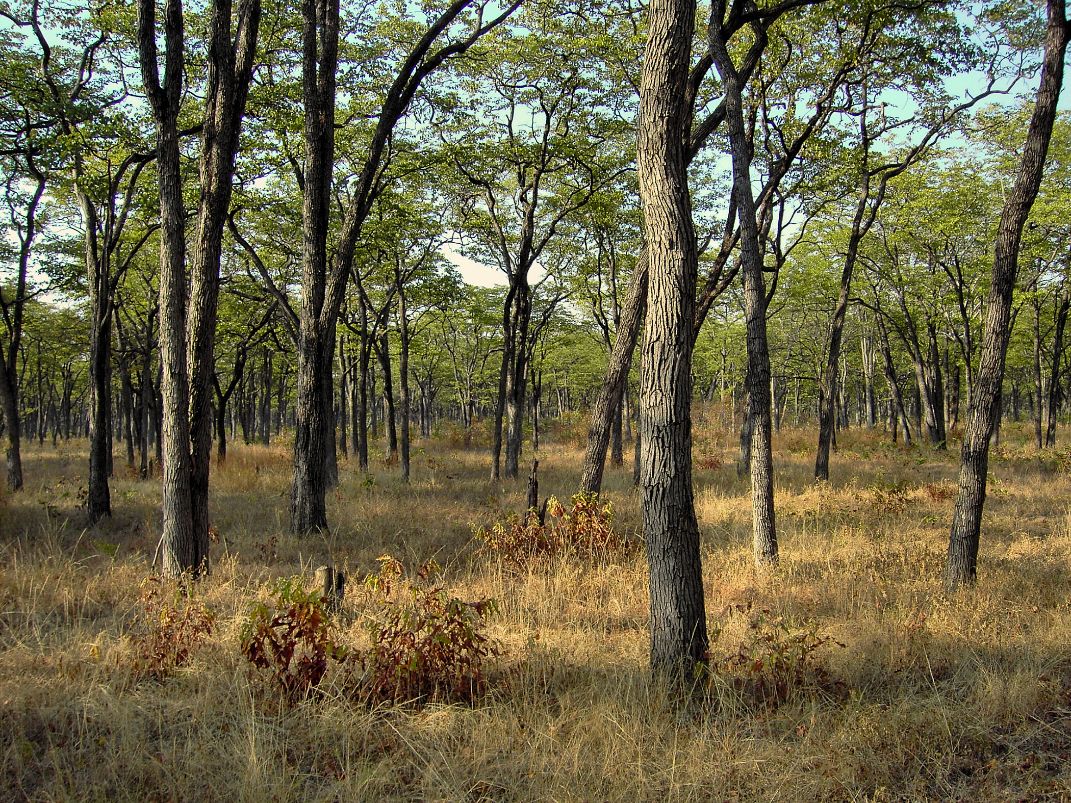
caption = Miombo woodland in South Luangwa
locator_x =
locator_y =
location =Zambia
nearest_city =
lat_degrees =
lat_minutes =
lat_seconds =
lat_direction =
long_degrees =
long_minutes =
long_seconds =
long_direction =
area = 9,050 km²
established =1972
visitation_num =
visitation_year =
governing_body =South Luangwa National Park in eastern
Zambia , the southernmost of three national parks in the valley of theLuangwa River , is a world-renowned wildlife haven. It supports large populations of Thorneycroft'sGiraffe , and herds of elephant and buffalo often several hundred strong, while the Luangwa River supports abundantcrocodile s andhippopotamus es. It is one of the best-known national parks inAfrica forwalking safari s. Founded as agame reserve in1938 , it became anational park in1972 and now covers 9,050 km².The
Muchinga Escarpment in Northern and Central Provinces forms the park's western or north-western boundary, it slopes down from there to the river, lying mostly on its western bank. The eastern bank of the river is in |, and as access to the park is only from that side, it is usually thought of as being wholly in Eastern Province.The park spans two ecoregions, both of them
woodland savannah, distinguished by the dominant tree: Southern Miombo woodlands cover the higher slopes of the valley, while Zambezian and Mopane woodlands cover the bottom of the valley. TheMopane tree tolerates the higher temperatures and lower rainfall found at lower elevations thanMiombo trees which are found on the higher plateau. Within these woodland savannahs are larger patches of grassland, so that grazers such aszebra and leaf browsers such as giraffe are found in profusion in the same areas. Patches of flooded grassland habitats (floodplains) are found close to the river, on which hippopotamus graze at night. Their dung released into the river fertilises its waters and sustains the fish population which in turn sustains the crocodiles.The Luangwa valley, contined to the west by theLunsemfwa River valley, contains some varieties of animals such asCookson's wildebeest andCrawshay's zebra which are endemic or near-endemic to the valley. It also represents something of a natural barrier to human migration and transport, no roads cross it and this has helped conserve its wildlife.Although the park is generally well-protected from
poaching , the park'sblack rhino s were wiped out by1987 , and the elephant population has been under serious pressure at times.The main settlement of the park is actually outside its eastern boundary at
Mfuwe , home to an internationalairport .See also
*
Wildlife of Zambia External links
* [http://www.south-luangwa.com/ Info on the South Luangwa National Park]
* [http://www.safarimappers.com/area.aspx?lngareaid=24 Map of South Luangwa National Park]
Wikimedia Foundation. 2010.
