- Dorket Head
-
Coordinates: 53°01′N 1°07′W / 53.02°N 1.12°W
Dorket Head 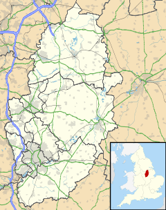
 Dorket Head
Dorket Head shown within NottinghamshireOS grid reference SK594475 District Gedling Shire county Nottinghamshire Region East Midlands Country England Sovereign state United Kingdom Post town NOTTINGHAM Postcode district NG5 Police Nottinghamshire Fire Nottinghamshire Ambulance East Midlands EU Parliament East Midlands List of places: UK • England • Nottinghamshire Dorket Head is an area located between Calverton and Arnold. At the centre is a cross roads between the B684 leading to the A614/A60 and Mapperley, and Calverton Road, between Arnold and Calverton. It is located within the Borough of Gedling, and officially is located within Arnold. It is the highest elevation within Nottingham at 146 meters above sea level. Dorket Head has two radio masts, one owned by Central Networks and the other which is owned by East Midland Communications [1]. Recently there has been a third mast erected, which is for a local Internet Company. There is a Biffa waste landfill site (nearing completion) and a Brick Works at Dorket Head. There is also a trig point on Dorket Head.
External links
Categories:- Geography of Nottinghamshire
- Nottinghamshire geography stubs

Wikimedia Foundation. 2010.