- Massachusetts Route 101
-
- For the Route 101 that existed in Massachusetts, Rhode Island, and Connecticut during the 1920s and early 1930s, see U.S. Route 44.
Route 101
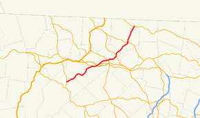
Route information Length: 22.55 mi[1] (36.29 km) Existed: c. 1939, 1954 (current alignment) – present Major junctions South end:  Route 32 in Petersham
 Route 2A in Templeton
 Route 2 in Templeton
 Route 68 in Gardner
 Route 140 in Gardner
 Route 12 in Ashburnham
North end:  Route 119 in Ashburnham
Highway system Massachusetts State Highway Routes
←  Route 99
Route 102  →
→Route 101 is a north–south state highway in Massachusetts.
Route description
Route 101 begins in Petersham at Route 32, just north of the center of town. The route heads eastward, winding between two wildlife management areas and south of Queen Lake as it passes through Phillipston. In Templeton, the route joins Route 2A, passing concurrently with that route over Route 2 at Exit 21 before splitting again.
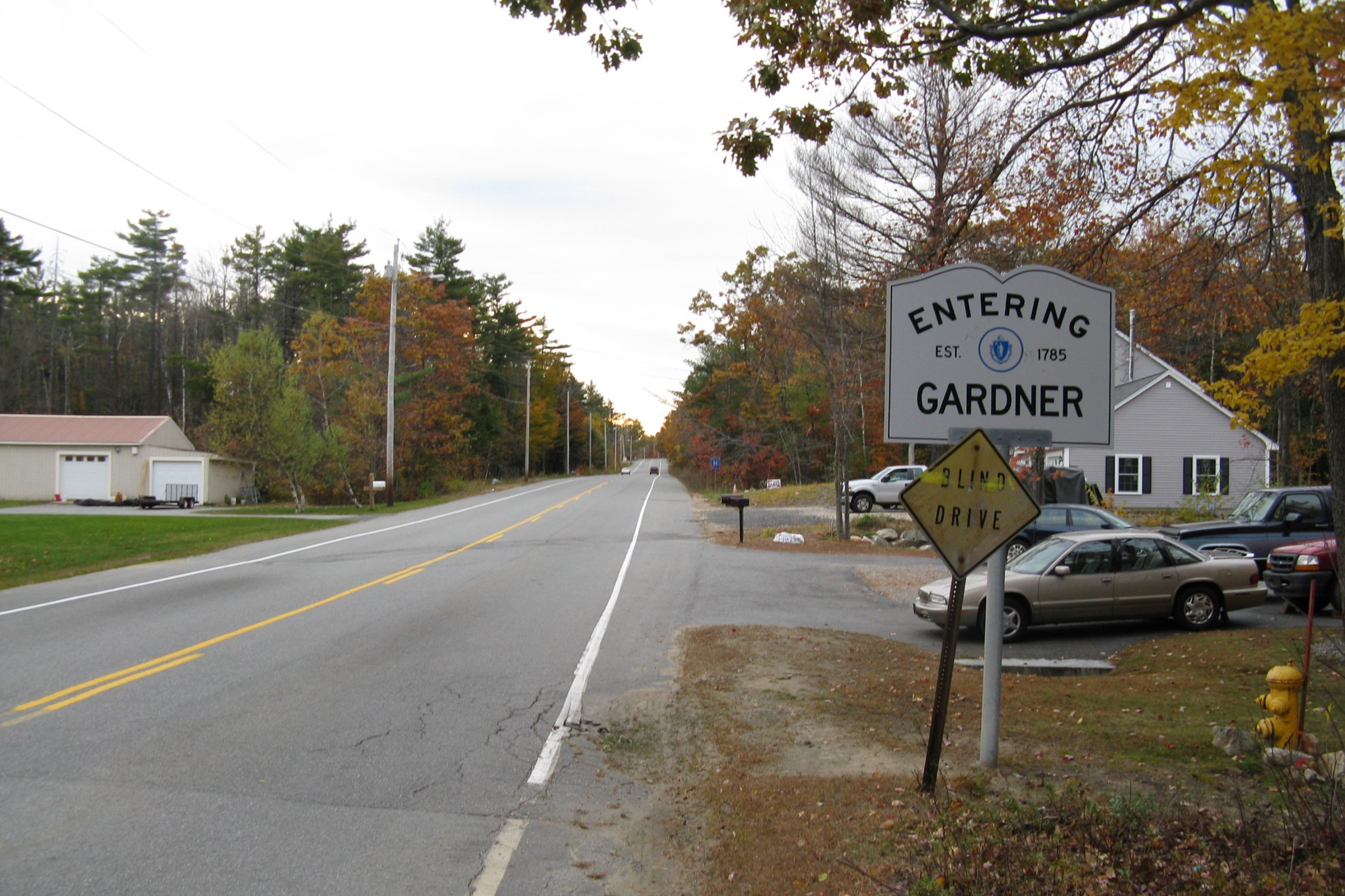
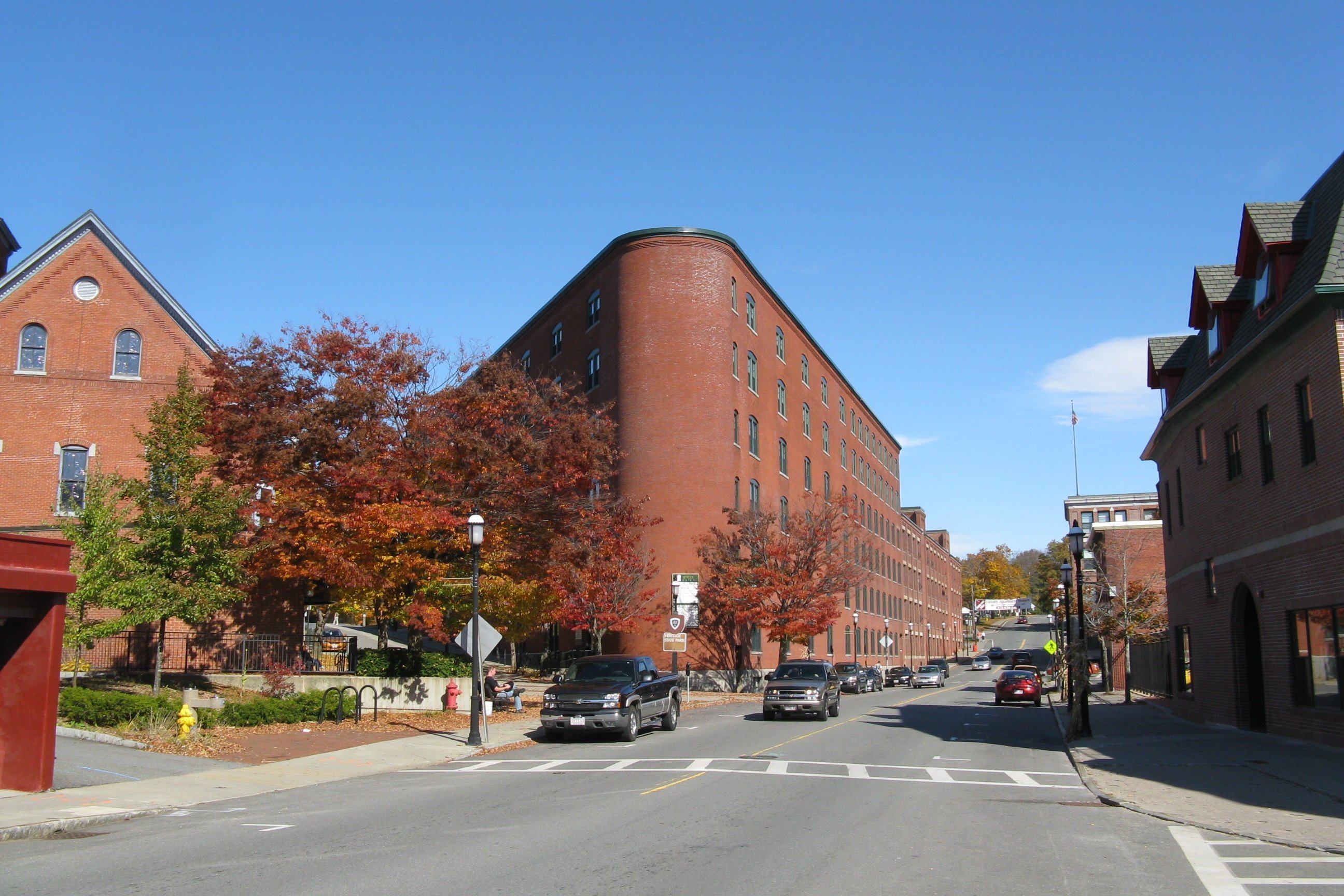
From Templeton, Route 101 enters the city of Gardner, acting as one of the main streets through town. For two blocks west of Main Street, Route 101 runs concurrently with Route 68. The route crosses Route 140 before entering Ashburnham. In Ashburham, Route 101 heads into the center of town, sharing a short concurrency along Route 12 before turning northward, passing by Winnekeag Lake and west of Ward Pond before ending at Route 119, three miles south of the New Hampshire state line and 300 yards east of the Ashby town line.
During the 1920s and early 1930s, Route 101 was a multi-state route through Massachusetts, Rhode Island, and Connecticut, primarily along the highway now known as U.S. Route 44.
Junction list
 Southbound entering Gardner from Ashburnham
 Northbound along Central Street in downtown Gardner
County Location Mile Roads intersected Notes Worcester Petersham 0.00 Route 32Southern end of Route 101. Templeton 7.7 Route 2A WestBeginning of concurrency with Route 2A. 8.7 Route 2Route 2 Exit 21. 9.4 Route 2A EastEnd of concurrency with Route 2A. Gardner 11.8 Route 68Two-block concurrency with Route 68. 14.1 Route 140Ashburnham 18.6 Route 12150-yard concurrency with Route 12. 22.55 Route 119Northern end of Route 101. References
Categories:- Numbered routes in Massachusetts


Wikimedia Foundation. 2010.