- Connecticut Route 82
-
Route 82

Route information Maintained by ConnDOT Length: 28.47 mi[1] (45.82 km) Existed: 1932 – present Major junctions West end:  Route 9 in Chester
 Route 11 in Salem
 I-395 in Norwich
East end: 
 Route 2 / Route 32 in Norwich
Highway system Routes in Connecticut
Special Service Roads • State Roads←  Route 81
Route 83  →
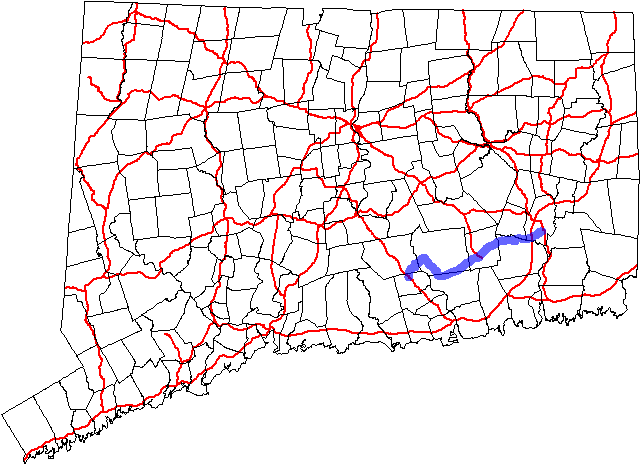
→Route 82 is an east–west state highway in Connecticut running for 28.47 miles (45.82 km) from Route 9 in Chester to Route 2 and 32 in Norwich.
Contents
Route description
Route 82 begins at a trumpet intersection with Route 9 in Chester and heads northeast into Haddam. In Haddam, it continues northeast to an overlap with Route 154, briefly turning northwest until the two routes separate. From the end of the overlap, Route 82 heads east to the East Haddam Bridge over the Connecticut River, entering East Haddam near Goodspeed Opera House. In East Haddam, Route 82 continues east and southeast to Lyme. In Lyme, it curves southeast and then northeast to reenter East Haddam, where it continues generally east to Salem. In Salem, Route 82 continues northeast, meeting the south end of Route 11, and then crossing into Montville. It then continues east through northern Montville, briefly overlapping Route 163, and southern Bozrah, before entering Norwich. In Norwich, it intersects I-395 before ending at a triangular one-way couplet in downtown Norwich, intersecting Routes 2 and 32 over two bridges across the Yantic River.[1]
Special Designations
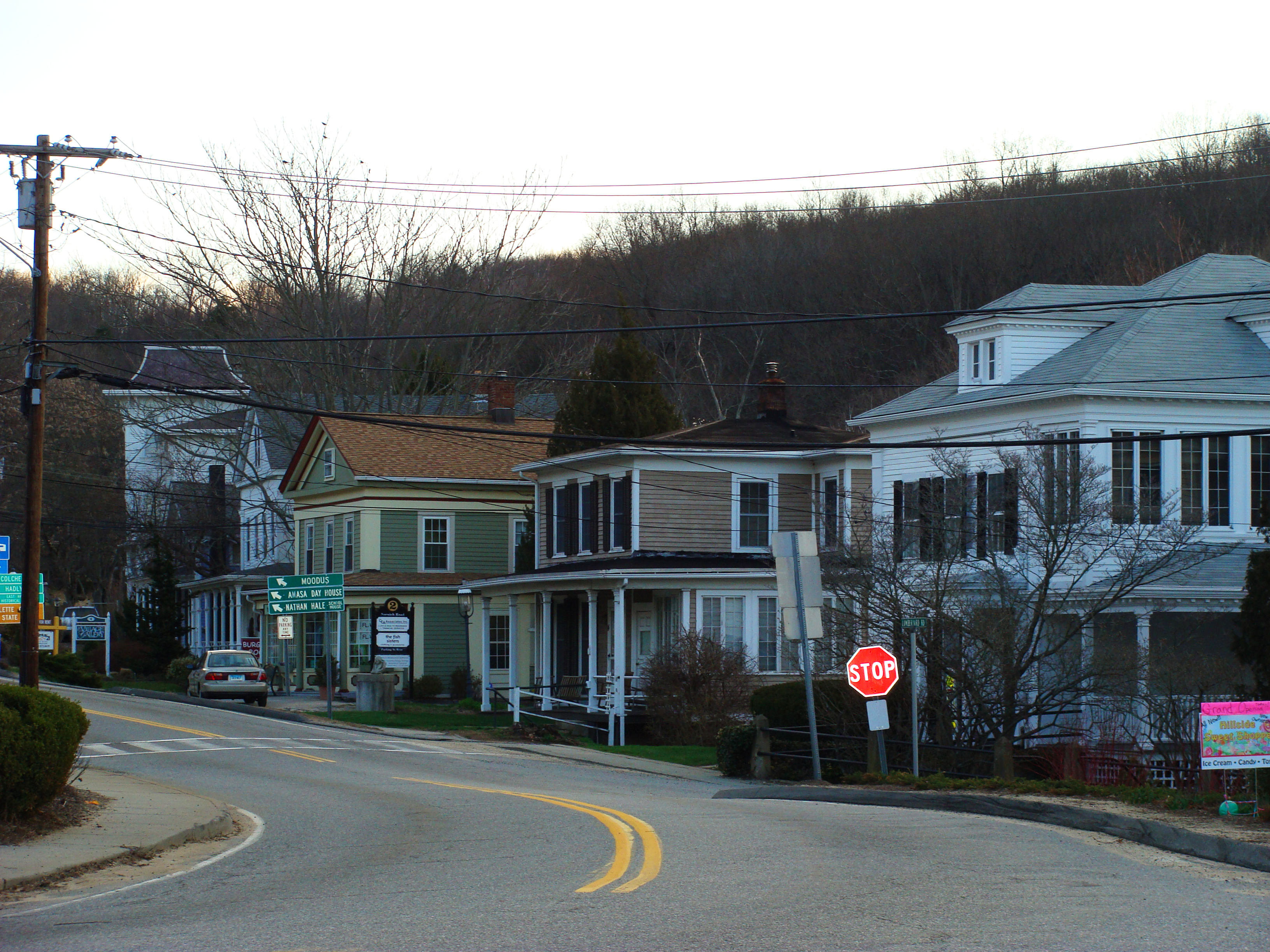
 Route 82 in East Haddam center
Route 82 is a designated scenic road for the length of the East Haddam Bridge between Haddam and East Haddam.[1]
History
Modern Route 82 east of Route 85 was built along the alignment of an early toll road known as the Salem and Norwich Turnpike, which was chartered in 1827 to connect its namesake cities. The toll road was extended west to the village of Hadlyme in 1834 by another turnpike corporation, which built the Hadlyme and Salem Turnpike. The road between East Haddam and Norwich, incorporating both turnpike alignments, was designated in 1922 as State Highway 153. In the 1932 state highway renumbering, old Highway 153 was renumbered to Route 82. The only major changes since then are the extension along a new limited access road west of Route 154 to a trumpet intersection with Route 9 in 1971, and a reorganization of the east terminus in Norwich in the late 1980s.[2]
Junction list
Town Road names Major junctions Milepost Chester
(0.85 miles)[1]Route 82 Route 9 – Old Saybrook, Middletown0.00-0.64 Haddam
(2.93 miles)Route 82, Bridge Road  Route 154 (Begin Multiplex)
2.75 Route 154 (End Multiplex)3.12 East Haddam
(5.16 miles)Norwich Road, Town Street  Route 149
3.99  Route 151
5.34 Lyme
(2.40 miles)Town Street, Norwich Salem Rd.  Route 148
9.26 E. Haddam
(3.36 miles)Norwich Salem Road  Route 156
12.53 Salem
(5.84 miles)East Haddam Road, Norwich Road Route 1116.34-16.56  Route 85
17.55-17.56  Route 354
20.20-20.21 Montville
(3.76 miles)Norwich Salem Turnpike  Route 163 (Begin Multiplex)
21.31 Route 163 (End Multiplex)21.43 Bozrah
(1.02 miles)Salem Turnpike (No Major Junctions) Norwich
(3.15 miles)Salem Turnpike, Westside Boulevard I-39526.22-26.39 (Begin Westside Boulevard one-way couplet) 28.20 Route 3228.29 Route 2 / Route 3228.47 References
Categories:- State highways in Connecticut
- Transportation in Middlesex County, Connecticut
- Transportation in New London County, Connecticut

Wikimedia Foundation. 2010.