- Klondike Highway
-
Klondike Highway
Yukon Highway 2 Route information Length: 438 mi (705 km) Major junctions South end: Alaska Marine Highway in Skagway, AK North end: Dawson City, YK Highway system ←  AK-11
AK-11AK-1  →
→
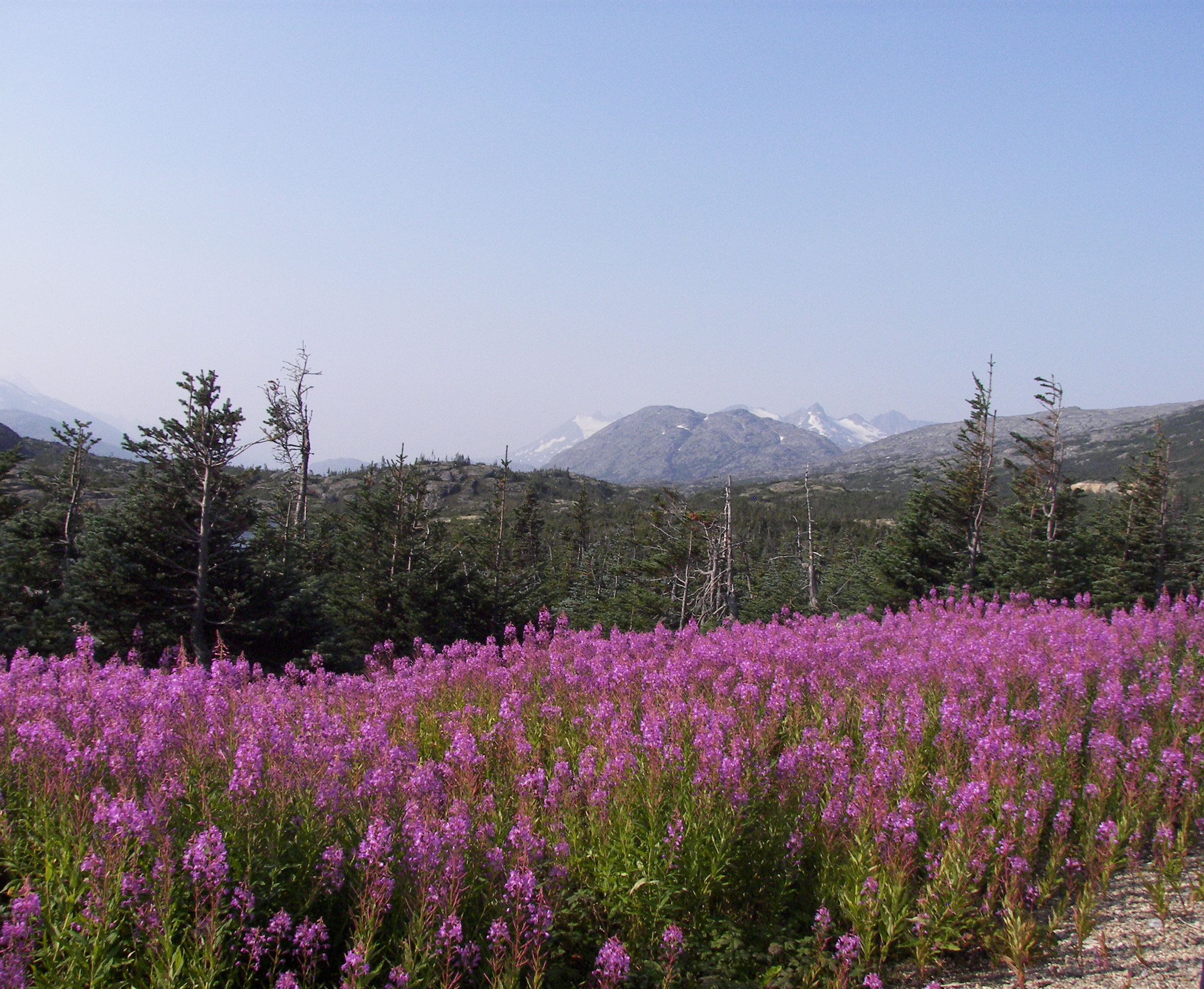
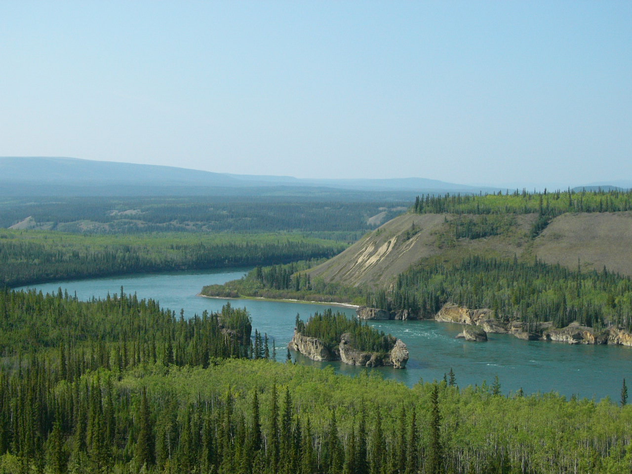
 Fireweed is prominent in various locations on the Klondike Highway (this is in the vicinity of Summit Lake and Bernard Lake in British Columbia).
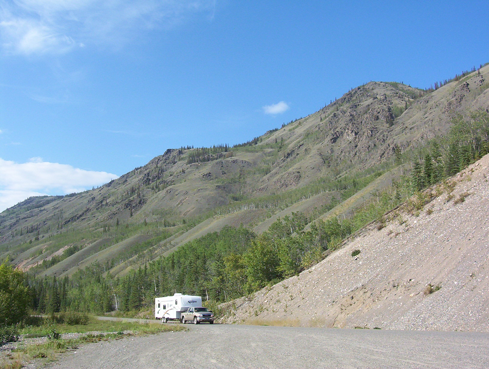
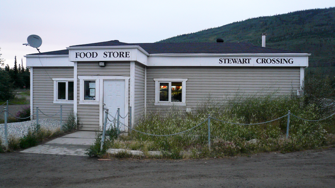
 Stewart Crossing Store
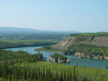
The Klondike Highway links the Alaskan coastal town of Skagway to Yukon's Dawson City and its route somewhat parallels that used by prospectors in the 1898 Klondike Gold Rush.
It winds in the state of Alaska for 24 km (15 miles), up through the White Pass in the Coast Mountains where it crosses the Canadian border to British Columbia (BC) for 56 km (35 miles), then enters Yukon where it reaches the Alaska Highway near Whitehorse and shares a short section with that highway until north of Whitehorse, where it diverges once more to Dawson City. The highway is 712 km (442 miles) long.
In the Yukon, the Klondike Highway is marked as Yukon Highway 2. In Alaska, the Highway is marked as Alaska Route 98 (as in "route of 1898").[1] Until 1978, the unopened section between the BC border and Carcross had no official highway number, while the section north of Carcross to the Alaska Highway was Highway 5, and the section from Stewart Crossing to Dawson was Highway 3. The BC section is now maintained by the Yukon government as a natural extension of Highway 2.
Contents
South Klondike Highway
The original 53 km (33 mi) section known locally as the Carcross Road was actually made into a part of the Alaska Highway in 1942, until the Marsh Lake route was opened the next year. As Yukon Highway 5, it formed a loop road with Highway 6, the Tagish Road (now numbered as 8). It was renumbered as Highway 2 in 1978, being incorporated into the Klondike Highway designation. The road underwent alignment improvements during the 1980s. Residents living as far south as 25 km (16 miles) from the Alaska Highway still give their residential addresses as historic mile measurements that start at zero at the Alaska Highway, even though the distances are no longer accurate, and kilometre posts count distance from Skagway's ferry terminal.
Construction of the "Carcross-Skagway Road" began in the 1950s, was abandoned partway up a mountain from Skagway, resumed in 1976-1977 and was completed between Skagway and Carcross in August 1978. It was only open for a few weeks before seasonal closure. The first full summer season of use was in 1979.
The highway originally was built for tourist traffic, but in 1986 became important as a commercial transportation route, coincident with what seemed to be inevitable abandonment of the White Pass and Yukon Route railway. The new owners of the Faro mine secured government agreement to open the highway for trucking. The last winter closure ended in the spring of 1986.
The Carcross-Skagway Road portion of the highway underwent substantial rerouting, widening and paving in the late 1980s and early 1990s. Although mining product does not currently traverse the highway, fuel tankers continue to travel the highway, which remains a popular tourist route (cars, RVs, buses), and provides an economic means for the White Pass railway to offer train excursions connecting at Fraser to buses from or toward points north.
North Klondike Highway
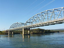
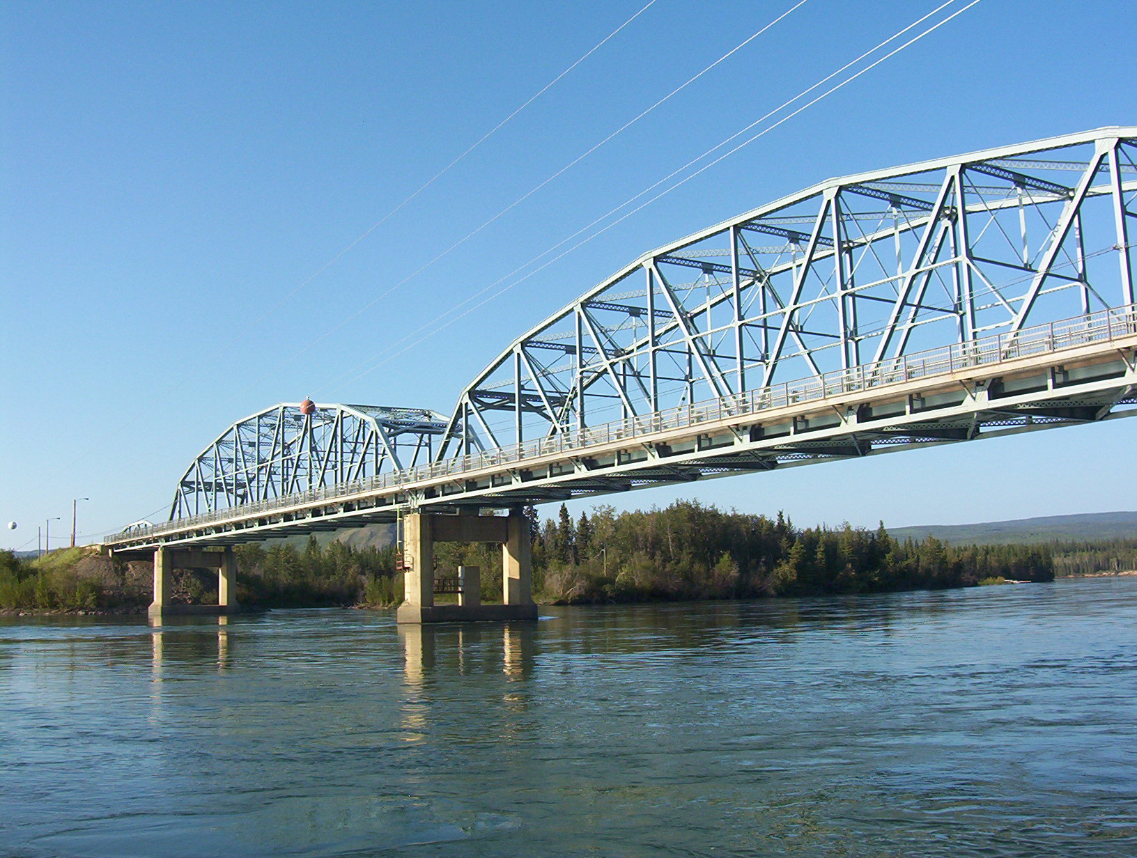
The quality of roads from Whitehorse to Dawson City prior to 1950 was poor and only for the hardiest of travelers and motorized vehicles. The "Whitehorse-Mayo Road," Yukon's original Highway 2, extended along today's route from Whitehorse to Stewart Crossing, then turned northeast to Mayo, Elsa and Keno City. The last of three bridges was finished in 1960 to replace ferries at Carmacks, Pelly Crossing and Stewart Crossing.
Yukon's original Highway 3, the Dawson-Mayo Road, was opened in September 1955 between Stewart Crossing and Dawson City. The Dawson-Mayo Road became part of Highway 2 in 1978 and was named the Klondike Highway, while the road northeast from Stewart Crossing became Highway 11, and was later named the Silver Trail.
Even as of 1979, the entire Klondike Highway was gravel, but by 1982, some paving had been laid down as far north as Carmacks. Rebuilding and some rerouting was completed in the late 1980s.
The first 30 odd km of the North Klondike Highway are still often known as the Mayo Road to the residents of Whitehorse. Although kilometric distance markers have been in place since the early 1980s, residents in this area still identify their residential address as a mile measurement along the Mayo Road.
See also
- List of Yukon territorial highways
- List of Alaska Routes
- List of Canadian highways by province
- Overland Trail (Yukon)
References
Sources
- Internet travelog of Jim Teresco. Specifically Skagway, June 23, 2001, pictures 11 and 12 and their associated captions. Retrieved 2005-02-18.
Categories:- Transportation in Municipality of Skagway Borough, Alaska
- Roads in Yukon
- Roads in British Columbia
- State highways in Alaska

Wikimedia Foundation. 2010.