- Greenville Creek
Infobox River
river_name = Greenville Creek
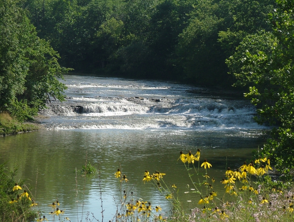
caption = Greenville Falls
origin = NearSpartanburg, Indiana
mouth = Stillwater River nearCovington, Ohio
basin_countries =
length =
elevation = ~ 1,155 ft (352 m) U.S. Geological Survey. Spartanburg quadrangle, Indiana. 1:24,000. 7.5 Minute Series. Washington D.C.: USGS, 1983.]
mouth_elevation = ~ 875 ft (267 m) U.S. Geological Survey. Pleasant Hill quadrangle, Ohio. 1:24,000. 7.5 Minute Series. Washington D.C.: USGS, 1983.]
discharge =
watershed = 200 mi² (518 km²) [cite web| title = Map of Ohio watersheds | url = http://www.dnr.state.oh.us/water/watersheds/Basins72PDI_40x40_OnScreen.gif]Greenville Creeks starts in extreme eastern
Indiana in Randolph County. It soon flows intoDarke County, Ohio and joins with a tributary that also starts in Indiana,Dismal Creek . If flows through Greenville and Gettysburg before entering Miami County. Near its mouth at the Stillwater River at Covington it drops 20 ft (6 m) at Greenville Falls in a glacially cut gorge that is a state nature preserve. [cite web| title = Greenville Falls Nature Preserve | url = http://www.ohiodnr.com/dnap/location/greenville_falls.html]References
Wikimedia Foundation. 2010.