- Big Walnut Creek
Infobox River
river_name = Big Walnut Creek

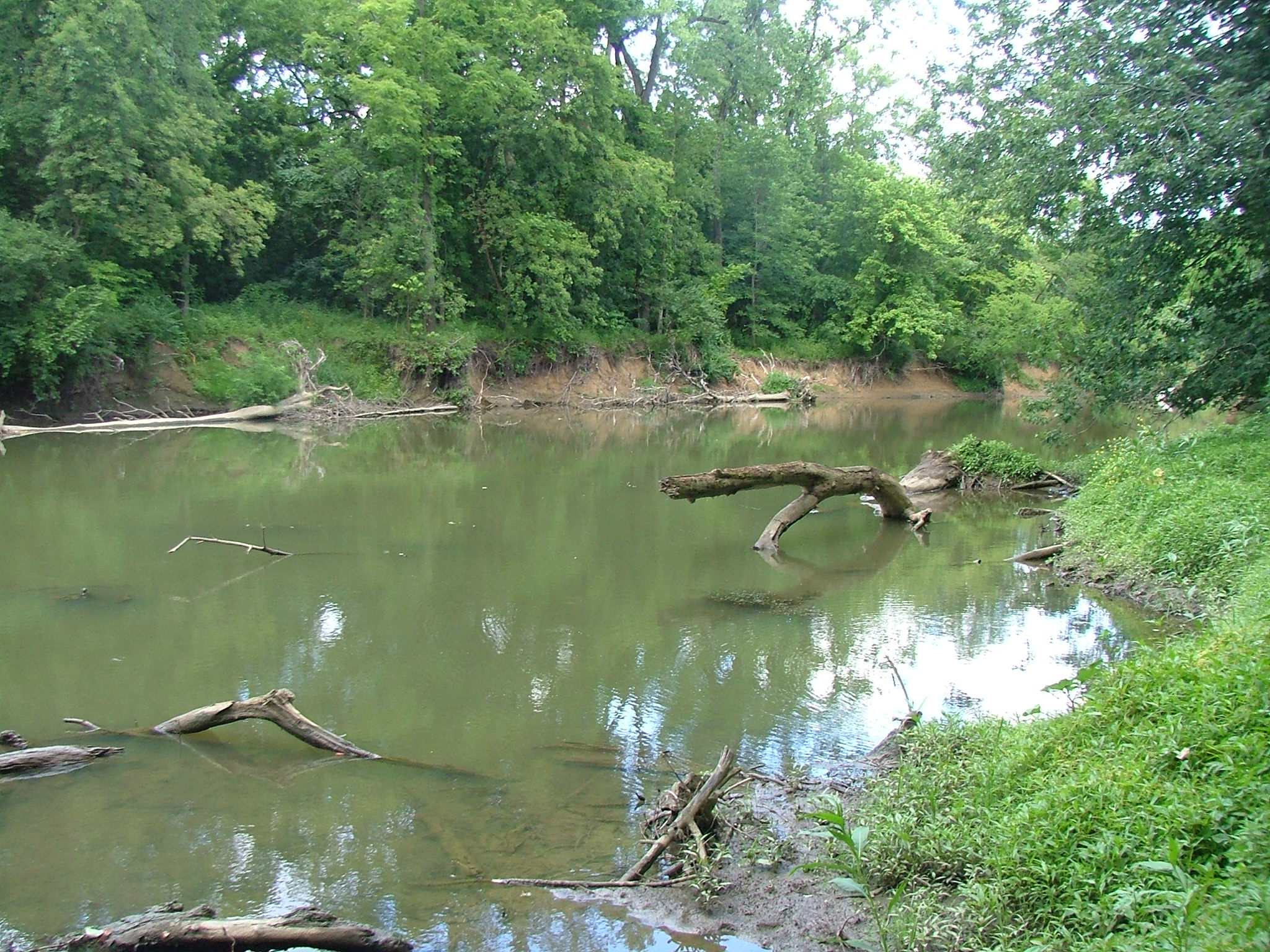
caption = Big Walnut Creek in the Three Creeks Metro Park
origin = ~ 1 mi (1.6 km) southwest ofMount Gilead, Ohio
mouth =Scioto River nearLockbourne, Ohio
basin_countries =
length =
elevation = ~ 1,180 ft (360 m) U.S. Geological Survey. Mount Gilead quadrangle, Ohio. 1:24,000. 7.5 Minute Series. Washington D.C.: USGS, 1973.]
mouth_elevation = ~ 665 ft (203 m) U.S. Geological Survey. Commercial Point quadrangle, Ohio. 1:24,000. 7.5 Minute Series. Washington D.C.: USGS, 1988.]
discharge =
watershed = 557 mi² (1,443 km²) [cite web| title = Map of Ohio watersheds | url = http://www.dnr.state.oh.us/water/watersheds/Basins72PDI_40x40_OnScreen.gif]Big Walnut Creek starts near
Mount Gilead, Ohio in Morrow County. It flows south to eastern Delaware County and parallelsAlum Creek . It passes to the east of Sunbury and into Hoover Reservoir. The reservoir crosses into Franklin County and flows through Gahanna and Whitehall. Near Obetz it is joined by its principal tributariesAlum Creek and Blacklick Creek at the Three Creeks Columbus Metro Park. It flows through southern Franklin County and joins theScioto River near the Franklin-Pickaway Counties line.Variant names
According to the
Geographic Names Information System , the Big Walnut Creek has also been known as: Gnis|1066576]
* Big Belly Creek
* Big Bellys Creek
*Big Lick Creek
* Gahanna River
* Hayes Ditch
* Walnut Creek
* Whingwy Mahoni Sepung
* Menkwi Mhoani SiipunkReferences
Wikimedia Foundation. 2010.
