- Alum Creek
Infobox River
river_name =Alum Creek
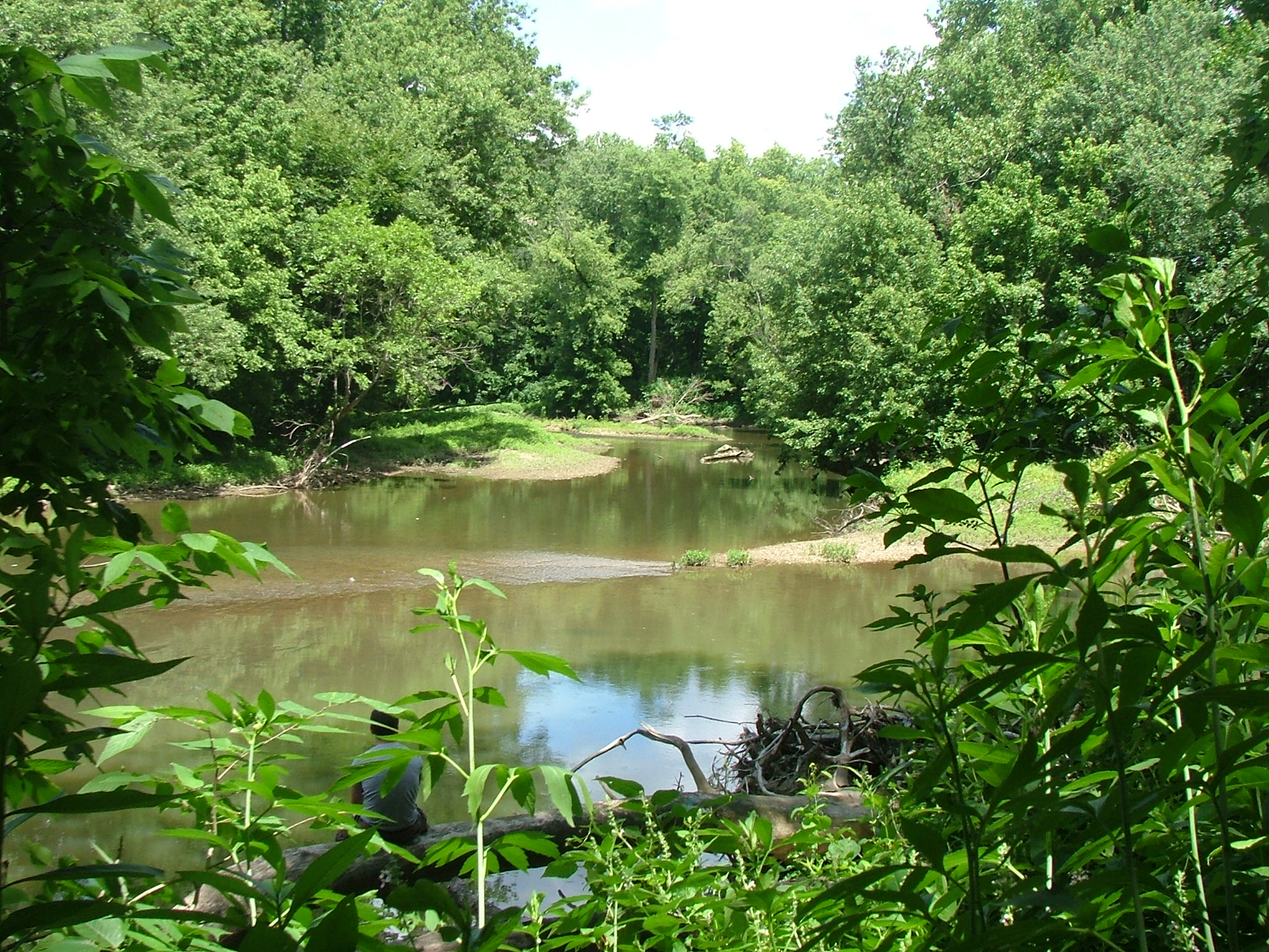
caption = The confluence of theAlum Creek andBig Walnut Creek .Alum Creek is in the center of the image andBig Walnut Creek is coming from the right.
origin = coord|40|32|00|N|082|49|02|W|region:US-OH_type:river_source:GNISGnis|1066550|Alum Creek] convert|1|mi|km South-West of Mount Gilead
mouth = coord|39|52|52|N|082|54|27|W|region:US-OH_type:river_source:GNIS|display=inline,titleBig Walnut Creek nearObetz, Ohio
basin_countries =United States of America
length = [Fact|date=June 2008]
elevation = convert|1160|ft|mUnited States Geological Survey . Mount Gilead quadrangle, Ohio. 1:24,000. 7.5 Minute Series.Washington D.C. :United States Geological Survey , 1973.]
mouth_elevation = convert|718|ft|m
discharge = [Fact|date=June 2008]
watershed = convert|199|sqmi|km2 [cite web| title = Map of Ohio watersheds | publisher =Ohio Department of Natural Resources | url = http://www.dnr.state.oh.us/water/watersheds/Basins72PDI_40x40_OnScreen.gif| format = GIF]Alum Creek is a tributary of
Big Walnut Creek , which drains into theScioto River .History
The Alum Creek valley was inhabited by the Adena over 2,000 years ago. This mound builder culture constructed seven mounds along Alum Creek. The Lenape (Delaware) Indian tribe later established many settlements near the creek.
One of the first European settlers was Colonel
Moses Byxbe , who constructed his home on Alum Creek in 1805. Colonel Byxbe owned or co-owned 38,000 acres (150 km²) along the creek.As a defensive measure during the
War of 1812 , local residents built four blockhouses in the area, including one on Alum Creek. The blockhouse, Fort Cheshire, was a 2-storey log fortress, constructed so as to provide a place from which to shoot, drop boiling water, and defend against the threat of fire. The blockhouse was subsequently used as a schoolhouse and remained intact until the Civil War. The fort is commemorated by a bronze plaque where the blockhouse once stood.Underground Railroad
The history of Alum Creek is also notable for its connection to the
Underground Railroad , by which many slaves found their freedom. The Underground Railroad's Sycamore Trail ran along Alum Creek. Africa Road, near Alum Creek, is so named because of the nearby settlement of thirty freed slaves from North Carolina. [cite web| title = Alum Creek State Park | url = http://www.dnr.state.oh.us/parks/parks/alum.htm]Also known as
*Allum Creek
*Elk Creek
*Seckle Creek
*Sepung Creek
*Salt CreekWatershed
Alum Creek Lake
Near coord|40|10|36|N|082|57|24|W|region:US-OH_type:waterbody_source:GNIS Elevation: convert|833|ft|m [Gnis|1070661|Alum Creek Lake]
Alum Creek Lake Dam
Near coord|40|10|36|N|082|57|24|W|region:US-OH_source:GNIS Elevation: convert|833|ft|m [Gnis|1079219|Alum Creek Lake Dam]
Drinking Water
Alum Creek is a source of drinking water for the city of
Westerville, Ohio . [cite web| title = City of Westerville FAQs | url = http://www.ci.westerville.oh.us/Default.aspx?tabid=258]Tributaries
*
References
"USGS Southeast Columbus",
United States Geological Survey . Southeast Columbus quadrangle,Ohio . 1:24,000. 7.5 Minute Series.Washington D.C. :United States Geological Survey , 1992.External links
*cite web
title = Alum Creek State Park
publisher =Ohio Department of Natural Resources
url = http://www.dnr.state.oh.us/parks/parks/alum.htm
format = HTML
*cite web
title = Group formed in 2002 dedicated to preserving and improving the watershed
publisher = Friends of Alum Creek
url = http://www.friendsofalumcreek.org/
format = HTML
*cite web
title = Old Alum Creek Photos from Delaware County, Ohio families.
publisher =GeoCities
url = http://www.geocities.com/pclay4/creek/creek.htm
format = HTMLee also
Alum Creek Lake
Wikimedia Foundation. 2010.