- Murrumburrah, New South Wales
-
Murrumburrah
New South Wales

 Murrumburrah
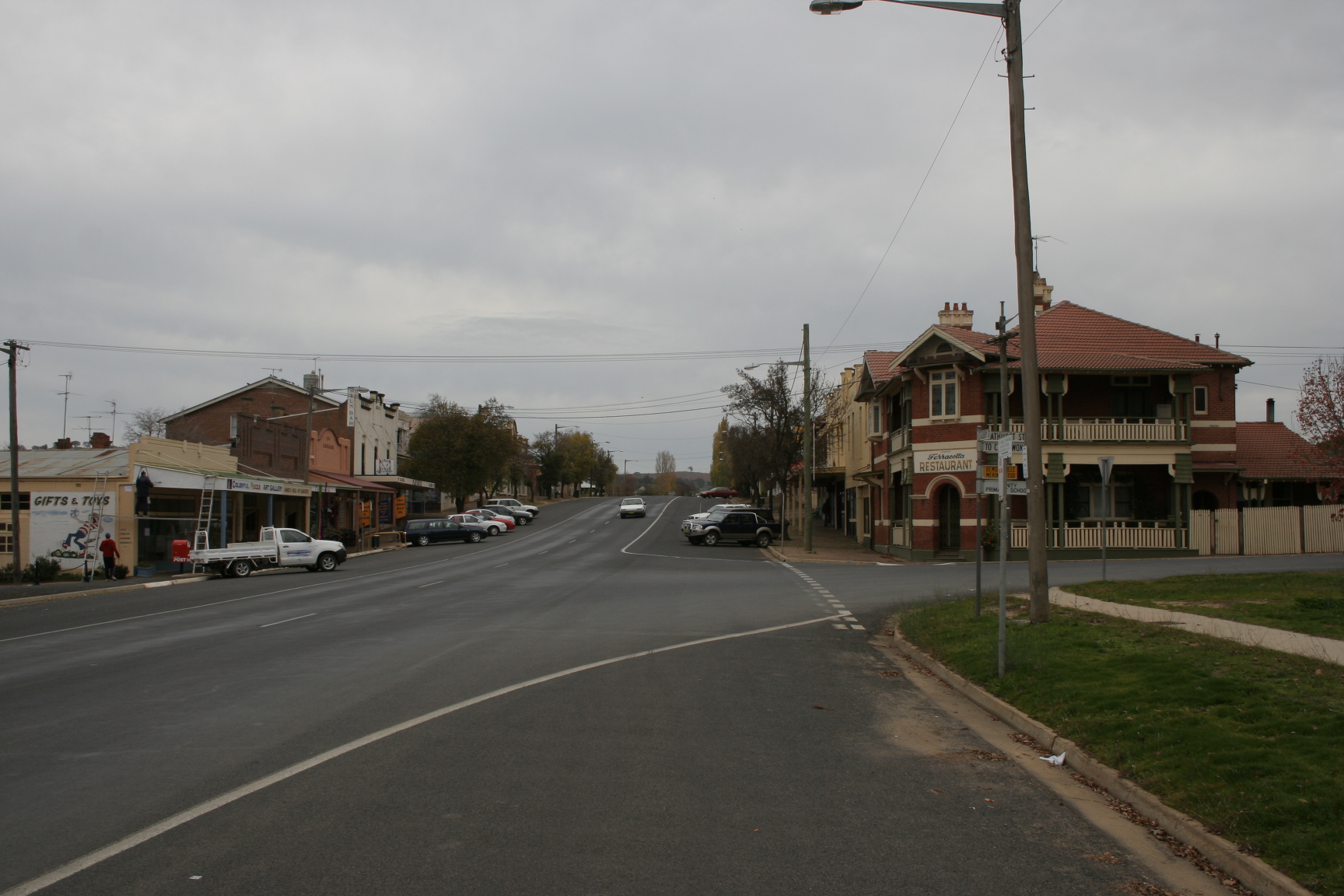
Postcode: 2587 LGA: Harden Shire State District: Burrinjuck Federal Division: Hume Murrumburrah is a township in New South Wales, Australia in Harden Shire and forms a twin town with Harden. It is near both the Canberra region of the Australian Capital Territory, and the Riverina Region in the southwest area of NSW. It is on the Burley Griffin Way, the major link from the Riverina to the Hume Highway near Yass, and ultimately Sydney, Canberra and the coast. At the 2006 census, Murrumburrah had a population of 952 people.[1]
The name probably comes from Wiradhuri murrimboola, which can reasonably be translated to "two waterholes".[2]
History
Before European settlement the Harden area was inhabited by the Wiradjuri people. Hume and Hovell passed neaby in 1824. In the late 1820s, the 'Murrumburra' was established. Its superintendent, James Kennedy, established an inn on the townsite in the late 1840s. Gold was found in the area in the 1850s.[3] In mid-1872 a traveller made the following comments about Murrumburrah, "a small township on the road to Lambing Flat":
Murrumburrah has two churches, a school, three hotels, the same number of stores, and a good steam flour mill. The Roman Catholic Church is a fine stone building on a hill above the town, and looks very picturesque; the Wesleyan Chapel is a small wooden building. The principal hotels are Mr. Murphy’s and Mr. Dillon’s. The former owns the flour mill, a good brick building, three stories high. It may be mentioned that a good deal of wheat is grown in the district.[4]
A railway station was opened one km east of Murrumburrah on the Main Southern line in 1877 as Murrumburrah Station, but changed its name to Harden Station, the year after the opening of a new station in Murrumburrah in 1879.[5] Harden has remained as the main station and, as a result, became the main town.
References
- ^ Australian Bureau of Statistics (25 October 2007). "Murrumburrah (State Suburb)". 2006 Census QuickStats. http://www.censusdata.abs.gov.au/ABSNavigation/prenav/LocationSearch?collection=Census&period=2006&areacode=SSC18265&producttype=QuickStats&breadcrumb=PL&action=401. Retrieved 5 November 2009.
- ^ "Murrumburrah". Geographical Names Board of New South Wales. http://www.gnb.nsw.gov.au/name_search/extract?id=ujjLZxsEan. Retrieved 2007-01-25.
- ^ "Harden". Walkabout, John Fairfax. http://www.walkabout.com.au/fairfax/locations/NSWHarden.shtml. Retrieved 2007-01-25.
- ^ 'A Tour to the South: Jugiong to Murrumburrah', Town and Country Journal, 5 August 1872, p. 178.
- ^ "Harden Railway Station". www.nswrail.net. http://www.nswrail.net/locations/show.php?name=NSW:Harden&line=NSW:main_south:0. Retrieved 2007-01-25.
Categories:- Towns in New South Wales

Wikimedia Foundation. 2010.