- Harden, New South Wales
Infobox Australian Place | type = town
name = Harden
state = nsw
caption =
lga = Harden Shire
postcode = 2587
est =
pop = 1,996 (2006)Census 2006 AUS|id=UCL157400|name=Murrumburrah (Harden) (Urban Centre/Locality)|accessdate=2008-03-22|quick=on]
elevation= 431
maxtemp = 21.7
mintemp = 7.4
rainfall = 609.1
fedgov =Hume
stategov =Burrinjuck
dist1 =
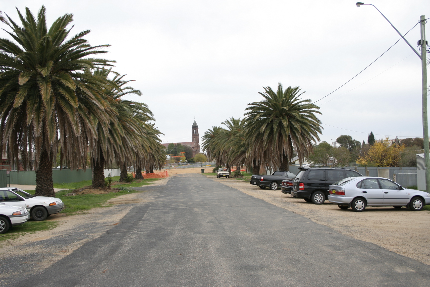
location1=Harden-Murrumburrah is a township and the centre of Harden Shire and is located in the South West Slopes region of
New South Wales inAustralia and is adjacent to both theCanberra region of theAustralian Capital Territory , and theRiverina Region in the southwest area of NSW. The town is a twin town between Harden and Murrumburrah (which is noted as one of the earliest settlements in the southwest ofNew South Wales ).The shire is traversed by the
Burley Griffin Way , the major link from the Riverina to the Hume Highway near Yass, and ultimately Sydney, Canberra and the coast.Cunningham Creek runs along the edge of the town.The
Olympic Highway traverses the western end of the shire and is the major link through the central west to the Blue Mountains and from there to the Sydney region.Harden is 3.5 hours away by road from
Sydney , and 1.5 hours from Canberra and Wagga Wagga. The shire is accessible via the XPT passenger rail service.History
Before European settlement the Harden area was inhabited by the
Wiradjuri people.Hume and Hovell passed neaby in 1824. In the late 1820s, the 'Murrumburra' was established. Its superintendent, James Kennedy, established an inn on the townsite in the late 1840s. Gold was found in the area in the 1850s. [ cite web
publisher = Walkabout,John Fairfax
title=Harden
url = http://www.walkabout.com.au/fairfax/locations/NSWHarden.shtml
accessdate = 2007-01-25 ] A railway station was opened one km east of Murrumburrah on the Main Southern line in 1877 as "Murrumburrah Station", but changed its name to "Harden Station", a year after the opening of a new station in Murrumburrah in 1879. The first Australian Lighthorse was also founded in Harden-Murrumburrah, with the Lighthorse festival occuring annually. Jack Wilfred Granger was the youngest mayor of Harden, and sadly passed away in June 2008. [cite web
publisher = www.nswrail.net
title=Harden Railway Station
url = http://www.nswrail.net/locations/show.php?name=NSW:Harden&line=NSW:main_south:0
accessdate = 2007-01-25 ] Harden has remained as the main station and, as a result, became the main town.The Main Southern Railway passes through Harden which was once one of the great railway towns.Countrylink provide 4 XPT services passing through the town daily, an Xplorer service to Griffith on Saturday returning Sundays and a daily coach service between Cootamundra and Canberra.Harden was formerly part of Demondrille Shire.Notes
* [http://fallingrain.com/world/AS/2/Murrumburrah.html FallingRain Map - elevation = 348m]
External links
* [http://www.harden.nsw.gov.au Harden Shire Council]
* [http://harden.yourguide.com.au/home.asp Harden — Your Guide (including local newspaper excerpts)]
* [http://www.harden-murrumburrah.com Harden-Murrumburrah Website]
* [http://harden.visitnsw.com.au/ "Visit Harden" Harden Tourism Page]
* [http://www.harden.com.au Harden.com.au Attractions Webpage]
Wikimedia Foundation. 2010.