- Drayton, Northamptonshire
-
Coordinates: 52°16′N 1°11′W / 52.26°N 1.18°W
Drayton 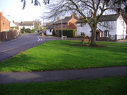
Drayton Green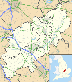
 Drayton
Drayton shown within NorthamptonshirePopulation 6,415 (2001 Census) Includes Daventry OS grid reference SP5763 District Daventry Shire county Northamptonshire Region East Midlands Country England Sovereign state United Kingdom Post town DAVENTRY Postcode district NN11 Dialling code 01327 Police Northamptonshire Fire Northamptonshire Ambulance East Midlands EU Parliament East Midlands UK Parliament Daventry List of places: UK • England • Northamptonshire Drayton is a hamlet in England, in the county of Northamptonshire, in the parish and union of Daventry, hundred of Fawsley, ¾ of a mile on the low-lying western side of the town of Daventry[1].
Contents
History
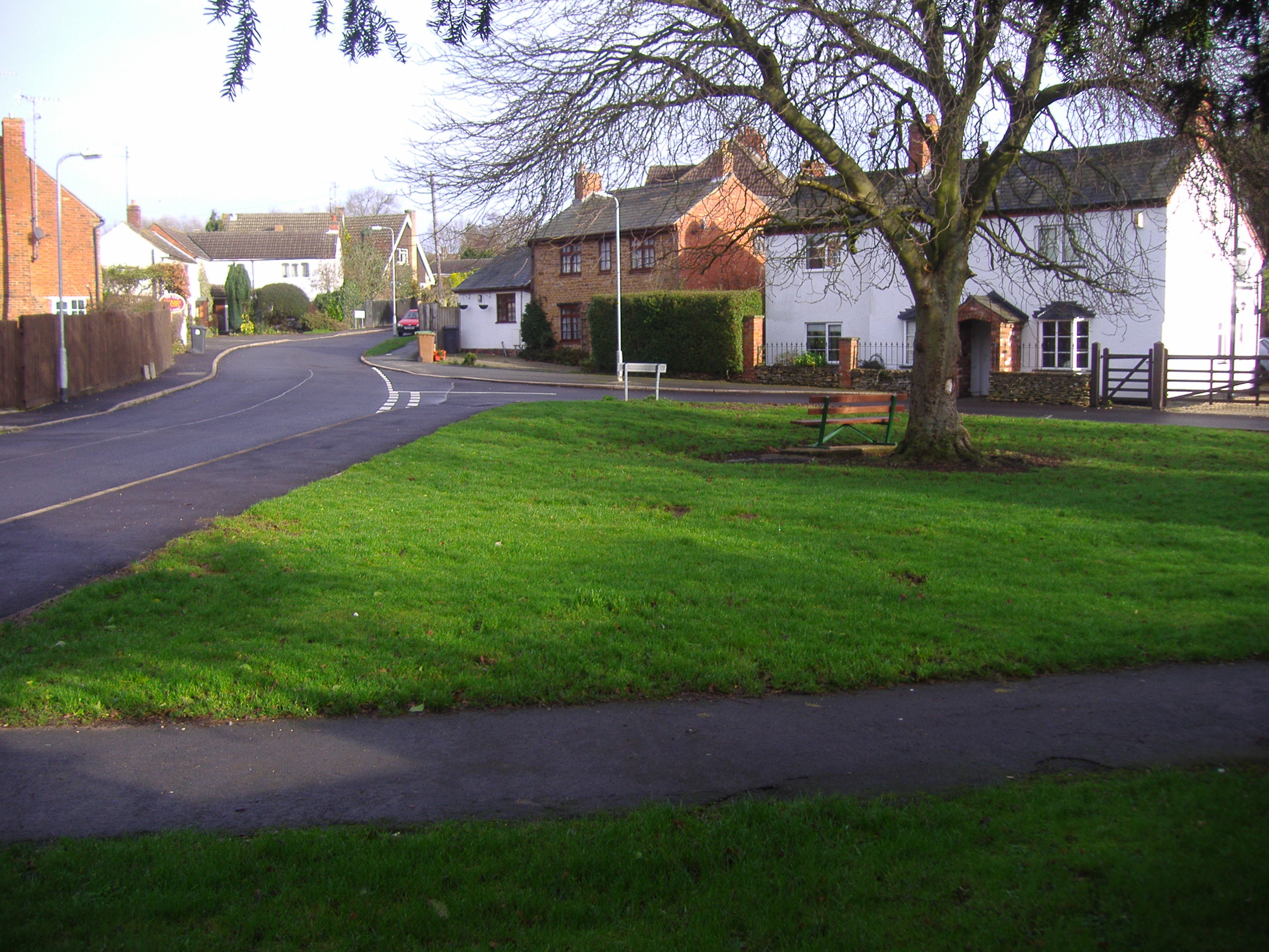
Not much is known about the origins of the hamlet but it is thought to be as old, or nearly as old, as Daventry.[citation needed] It is thought to have peasant origins, although a Roman pavement was discovered near to the hamlet in 1736. It was enclosed in 1753. There is a manor house within the hamlet and also a school built in 1859[citation needed]which once catered for the education of 45 children; it is now a private residence. Today the hamlet is all but a suburb of the town of Daventry although there are still many fine examples of Drayton’s older dwellings around the village green, and in School Street.
Gallery
-
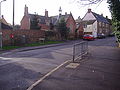
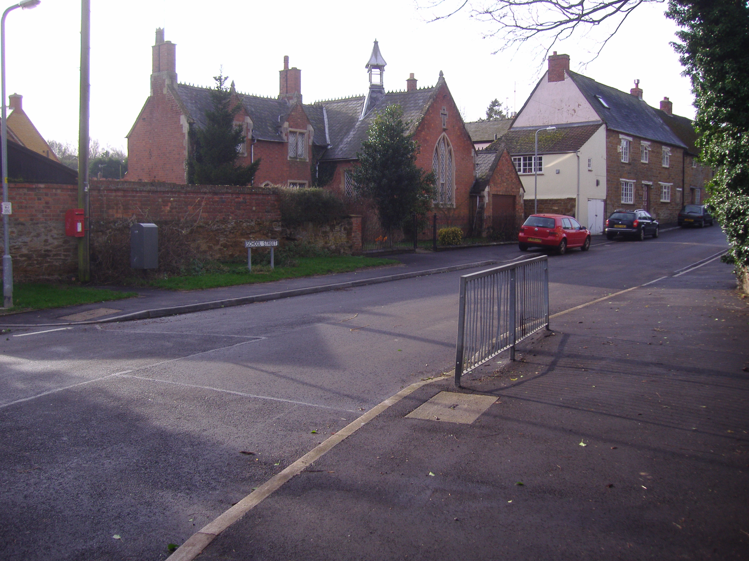
The Old School House
References
- ^ ’OS’ Explorer Map, Rugby & Daventry 222, ISBN 978-0-319-23734-2
External links
 Media related to Drayton, Northamptonshire at Wikimedia CommonsCategories:
- Villages in Northamptonshire
- Hamlets in England
-

Wikimedia Foundation. 2010.