- Channel-Port aux Basques, Newfoundland and Labrador
Infobox Settlement
official_name = Channel-Port aux Basques
other_name =
native_name =
nickname =
settlement_type = Town
motto =
imagesize =
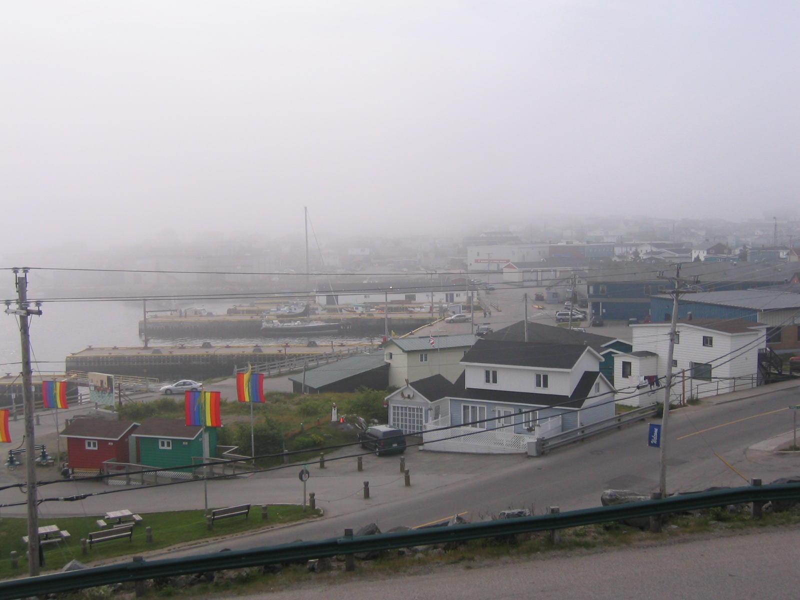
image_caption = The Channel-Port aux Basques waterfront in October 2005.
flag_size =
image_
seal_size =
image_shield =
shield_size =
city_logo =
citylogo_size =
pushpin_
pushpin_label_position = right
pushpin_map_caption = Location of Channel-Port aux Basques in Newfoundland
pushpin_mapsize =
subdivision_type = Country
subdivision_name = CAN
subdivision_type1 = Province
subdivision_name1 = NL
subdivision_type3 =
subdivision_name3 =
established_title =
established_date =
established_title2 = Incorporated
established_date2 = 1945
established_title3 =
established_date3 =
government_type = Channel-Port aux Basques Town Council
government_footnotes =
leader_title = Mayor
leader_name = Brian Button
leader_title1 =
leader_name1 =
leader_title2 =
leader_name2 =
unit_pref =
area_footnotes =
area_total_sq_mi =
area_total_km2 = 38.77
area_land_sq_mi =
area_land_km2 =
area_water_sq_mi =
area_water_km2 =
area_water_percent =
area_urban_sq_mi =
area_urban_km2 =
area_metro_km2 =
area_metro_sq_mi =
population_as_of = 2006
population_note =
population_footnotes =
population_total = 4319
population_urban =
population_metro =
population_density_sq_mi =
population_density_km2 = 111.4
timezone =Newfoundland Time
utc_offset = -3:30
timezone_DST = Newfoundland Daylight
utc_offset_DST = -2:30
latd = 47
latm = 34
lats = 00
latNS = N
longd = 59
longm = 09
longs = 00
longEW = W
elevation_footnotes =
elevation_ft =
elevation_m = 23
postal_code_type = Postal code span
postal_code = A0M
area_code = 709
blank_name = Highways
blank_info = Route 470
Route 1
website =
footnotes = Channel-Port aux Basques (also Port aux Basques) is a town at the extreme southwestern tip of the island of Newfoundland fronting on the eastern end of theCabot Strait . AMarine Atlantic ferry terminal is located in the town which is the primary entry point onto the island of Newfoundland and the western terminus of the Trans-Canada Highway in the province. The town was incorporated in 1945 and the current population (2006) is 4,319. [ [http://www12.statcan.ca/english/census06/data/profiles/community/Details/Page.cfm?Lang=E&Geo1=CSD&Code1=1003034&Geo2=PR&Code2=10&Data=Count&SearchText=Botwood&SearchType=Begins&SearchPR=01&B1=All Population and dwelling counts] ]Port aux Basques is the oldest of the collection of towns that make up the present-day town, which consists of Port aux Basques, Channel, Grand Bay, and Mouse Island. Amalgamation took place in the 1970s.
History
The community received its name from
whalers hailing from the Basque region of thePyrenees ofFrance andSpain who sailed in the area during the 1500s. Permanent settlement came from French fishermen who overwintered on this, the "French shore", using rights given under the 1713 Treaty of Utrecht which saw France cede Newfoundland to England in exchange for right of use of coastal lands for the fishery. With the fishery being the economic mainstay for both French and British settlers in the area, Channel-Port aux Basques [http://visitnewfoundland.ca/channelportauxbasques.html] appeared destined to remain a collection of small fishing villages.Telegraph cable
In 1856, an underwater telegraph cable [http://visitnewfoundland.ca/telegraph.html] was successfully laid between Newfoundland and
Cape Breton Island , making landfall nearby. This was the first step in the race to complete a trans-Atlantic telegraph cable.Railway
In the 1880s, the Government of Canada erected a lighthouse at nearby Cape Ray which, despite being in the then-separate British colony of Newfoundland, was considered a navigation hazard for vessels bound for Canadian ports in the
Gulf of St. Lawrence .In 1893, it was decided to extend the western terminus of the
Newfoundland Railway (then under construction west from theAvalon Peninsula by Robert G. Reid) from St. George's to Port aux Basques harbour. By 1897 the tracks reached Port aux Basques, although the harbour facilities had not been built at that time to handle the steamer "Bruce", which had been built inScotland and had arrived in Newfoundland several months earlier. While the required docks were constructed, the "Bruce" operated betweenLittle Placentia Sound andNorth Sydney, Nova Scotia from October, 1897 until June, 1898 . at North Sydney, with the smaller and older MV "Ambrose Shea" docked alongside her.(Source: Windfield Photographic Collection, POB 340 Stn. B London Ontario Canada N6A 4W) taken in ?)]Ferries
On
June 30 ,1898 , the first passenger train arrived in Port aux Basques, and the "Bruce" departed for North Sydney shortly afterward. Over the years, the Newfoundland Railway expanded both the number of trains and vessels which called at Port Aux Basques. In 1925 the steamer SS "Caribou" began service. She was attacked and sunk by aU-boat onOctober 14 ,1942 with a loss of 137 lives, some from the Port aux Basques area. OnMarch 31 ,1949 Newfoundland entered into Confederation and the railway was transferred toCanadian National Railways .Under CNR in the 1950s, Port aux Basques was expanded with the construction of new
dock facilities and the arrival of newer and larger ships such as the MV "William Carson". Extensive blasting of rock created space for large railyards with extensivedual gauge trackage. The excess rock was then used as fill to create the required docks. By the mid-1960s, new railcar-capable ferries such as the MV "Frederick Carter" permitted the exchange of railcars, requiring further expansion at the Port aux Basques terminal facilities.The mid-1960s also saw the completion of the Trans-Canada Highway across Newfoundland, an event which eventually led to the closure of the railway by 1988, but which made Port aux Basques into an even more important gateway to the island of Newfoundland, given the increased number of tourists visiting the province, and the rising amount of truck traffic. New
Ro-Pax -capable vessels were commissioned and/or chartered during the 1960s-1980s to meet the growing demand, such as the "Marine Nautica", "Marine Atlantica", "Marine Evangeline", "Ambrose Shea", and "John Hamilton Gray".With the abandonment of the railway, extensive rebuilding of Port aux Basques terminal resulted in expansive marshalling areas for waiting motor vehicle traffic. A plant disease inspection station is located near a modern rebuilt railway station now used as a passenger terminal for the ferry service operated by
Marine Atlantic , which was renamed fromCN Marine in 1986. Port aux Basques harbour hosts the arrival of the two largest icebreaking ferries in Canada, the "Caribou" and "Joseph and Clara Smallwood", as well as other passenger and cargo vessels.A new vessel, the MV Atlantic Vision, has been added to the fleet. While the vessel is not in service yet, it is expected to be in service before the end of 2008. This new vessel is larger and more luxurious than the previous ships.The ferry is 203 metres in length and has four propulsion engines with a total output of 46 Megawatts and can travel at speeds up to 27 knots. In comparison, the MV Caribou is 179 metres long. It has four engines with a total output of 21 Megawatts and can travel at speeds of up to 20 knots. The new ferry has in excess of 50 percent more vehicle capacity than either the MV Caribou or the MV Joseph and Clara Smallwood. It is capable of carrying approximately 531 cars or a mix of cars and commercial vehicles using the two main vehicle decks and the two lower decks. The lower decks are sized to accommodate only cars. In comparison, the MV Caribou has a capacity of carrying 350 cars or a mix of cars and commercial vehicles on its two vehicle decks. The vessel has modern passenger areas which include a gift shop, restaurants, snack bar, bar, spa, seating lounges, and 196 passenger cabins in a variety of classes. In addition, this vessel has a dedicated Trucker Lounge, the first time such amenity is offered by Marine Atlantic. The vessel has an equivalent Ice Class to the MV Caribou. [http://www.marine-atlantic.ca/en/NewVessel/newvessel.shtml]
Trivia
*Placed 3rd in the top 5 communities for
Hockeyville , and won $20,000 for it's local arena.
*It's museum has twoastrolabes , a rare navigational device.
*It's sports arena burned down in 1995, just prior to the hockey season. The new arena was opened in November of 1996.ee also
*
List of cities and towns in Newfoundland and Labrador
*Cabot Strait
*Isle aux Morts References
External links
* [http://visitnewfoundland.ca/channelportauxbasques.html Channel - Port aux Basques]
Canadian City Geographic Location
North=Division No. 3, Subd. H
West=Gulf of St. Lawrence
Center=Channel-Port aux Basques
East=Division No. 3, Subd. H
South=Cabot Strait

Wikimedia Foundation. 2010.