- Shire of Tambo (Queensland)
Infobox Australian Place | type = lga
name = Shire of Tambo
state = qld
imagesize= 180
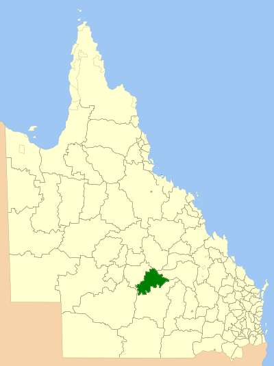
caption = Location withinQueensland
pop = 623 (2001 census)
area = 14109
est =
seat = Tambo
region =

logosize = 113
url = http://www.tambo.qld.gov.au/
near-nw = Blackall
near-n = Jericho
near-ne = Bauhinia
near-w = Blackall
near-e = Bauhinia
near-sw = Murweh
near-s = Murweh
near-se = MurwehShire of Tambo is a Local Government Area in central west
Queensland ,Australia . The major town and administrative centre of the shire is Tambo.The
Barcoo River travels through the shire on its way toCooper Creek and eventuallyLake Eyre . Like much of the west, sheep became the mainstay of the economy. Today, cattle and tourism are of major importance to the shire.External links
* [http://www.lgp.qld.gov.au/applications/lgdirectory/CouncilInfo/Default.aspx?OrgCode=TAMB Queensland Department of Local Government & Planning] - Local Government Directory
Wikimedia Foundation. 2010.