- Montecito, Burnaby
-
Montecito, for administrative and planning purposes also known as Sperling-Broadway, is a neighbourhood in Burnaby, British Columbia, Canada.
Contents
Location
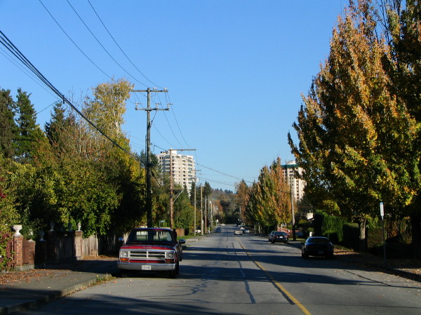
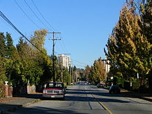 Halifax Street looking east towards Montecito
Montecito is located to the southwest of Burnaby Mountain, between Kensington Avenue to the west and Greystone Drive and Arden Avenue to the east. Halifax Street and the Lougheed Highway form its northern and southern boundaries respectively. It used to be part of a larger Lochdale neighbourhood.
Transport
The area is served by several bus routes such as #134, #144 and #136. Sperling – Burnaby Lake Station is directly to the south.
Education
There are two elementary schools in this area - Sperling and Montecito. Burnaby North Secondary School serves this and neighbouring areas.
Parks and recreation
Two major attractions are Burnaby Mountain Golf Course and the adjacent Squint Lake. There is a small Montecito Park with some tennis courts.
-

Duthie Ave at Halifax Street
-
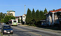
Halifax Street west of Duthie Ave
-
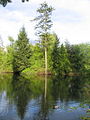
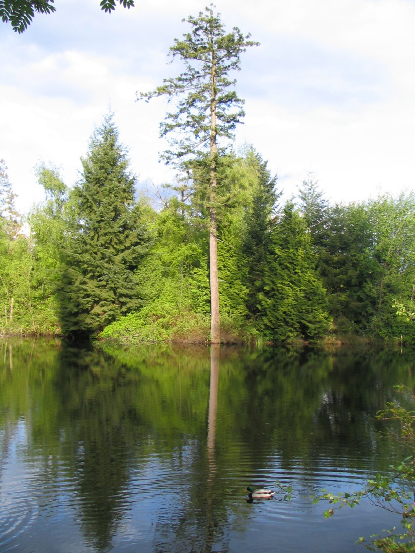
Squint Lake in spring
-
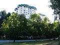
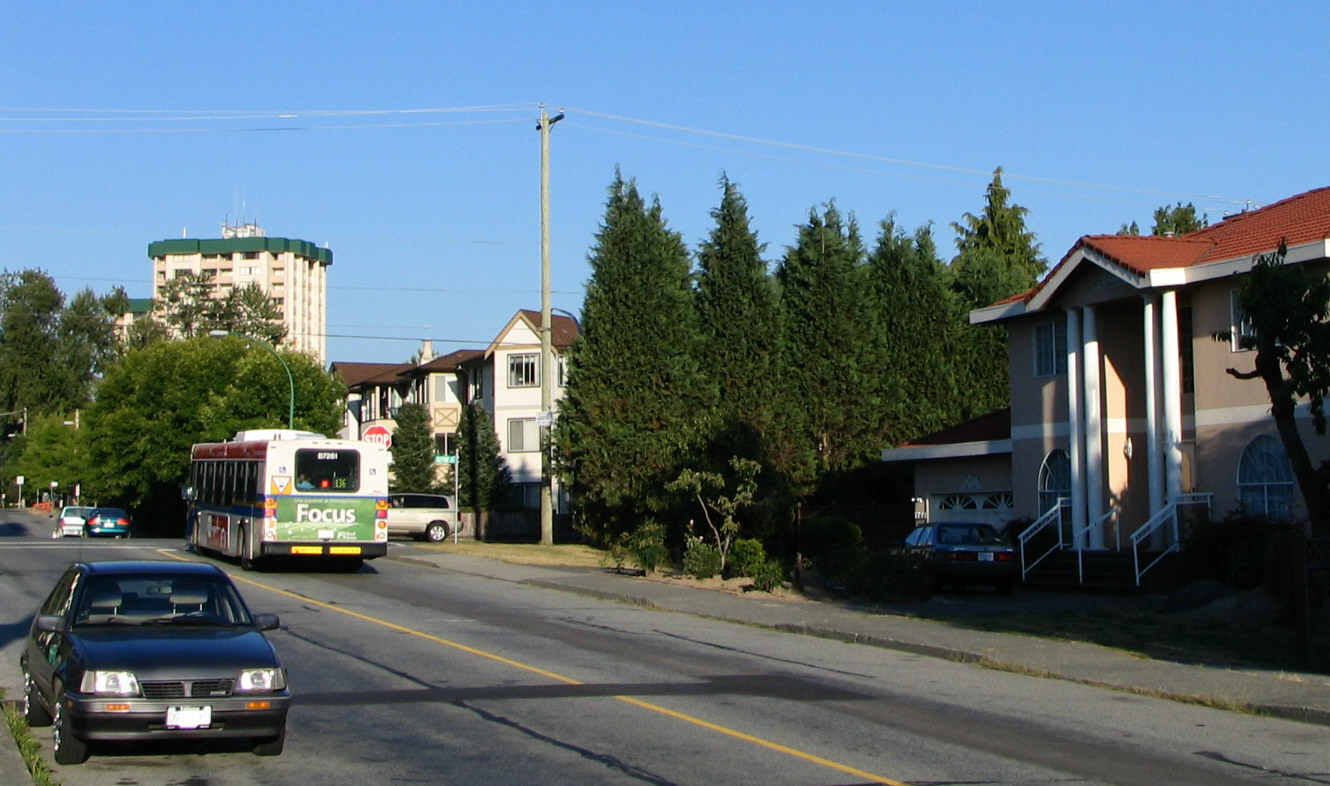
Halifax Street at Phillips Ave is the corner where several apartment and condo buildings are located
Neighbourhoods in Burnaby, British Columbia Town Centres Neighborhoods Ardingley-Sprott • Ardley • Big Bend • Brentwood Park • Burnaby Heights • Burnaby Lake Regional Park • Burnaby Mountain • Cameron • Capitol Hill • Cariboo-Armstrong • Cascade Heights • Clinton-Glenwood • Dawson-Delta • Douglas-Gilpin • East Burnaby • Edmonds • Garden Village • Government Road • Kingsway-Beresford • Lake City • Lakeview-Mayfield • Lochdale • Lyndhurst • Marlborough • Maywood • Middlegate • Montecito • Morley-Buckingham Heights • North Burnaby • Oakalla • Parkcrest • Richmond Park • Second Street • Simon Fraser Hills • South Burnaby • South Slope • Stride Avenue • Stride Hill • Sullivan Heights • Suncrest • Sussex-Nelson • UniverCity • West Central Valley • Westridge • Willingdon Heights • WindsorCategories:- Neighbourhoods in Burnaby
-

Wikimedia Foundation. 2010.