- North Burnaby
-
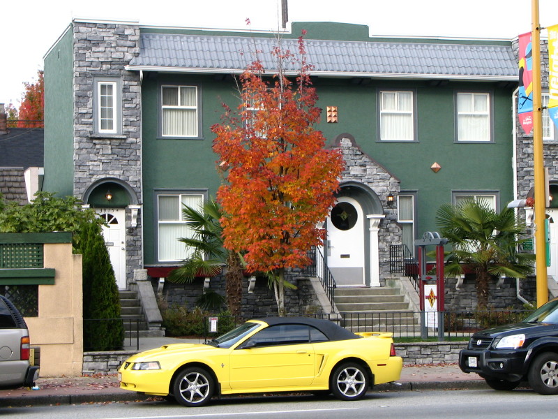
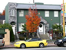 A recently renovated old building on Hastings Street near Ingleton Avenue, in the popular Heights area
North Burnaby is a general name for a large neighbourhood in the City of Burnaby [1] that includes a number of smaller ones. It stretches from Boundary Road in the west to Burnaby Mountain with Simon Fraser University in the east and bounded by Burrard Inlet to the north and the Lougheed Highway to the south. It is a desirable place to live for many local and immigrant families which is reflected by real-estate prices that keep climbing and have almost doubled in the last 15 years.
Contents
Important roads
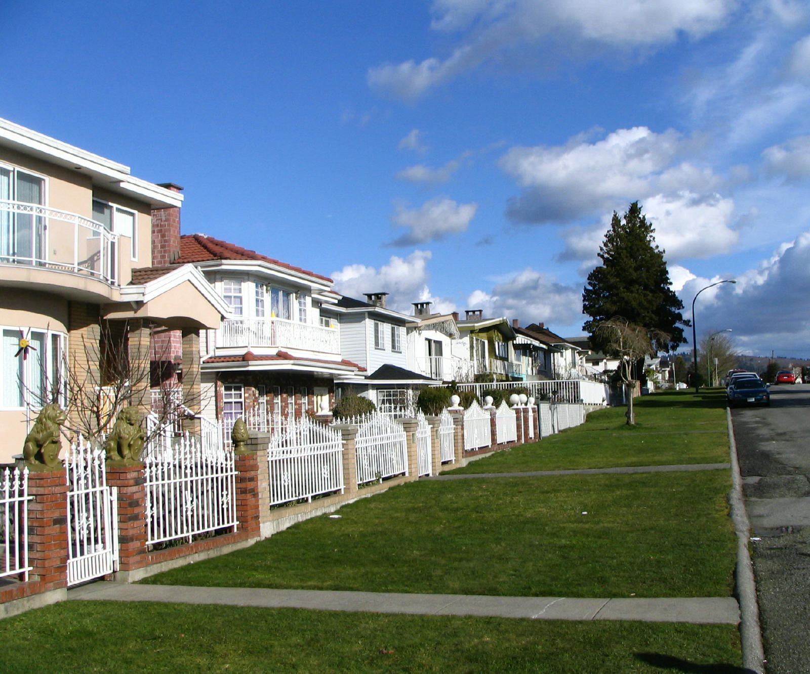
 A typical North Burnaby streetscape
A number of major arteries run through this neighbourhood, primarily the high-traffic Hastings Street connecting North Burnaby with Downtown Vancouver and Port Moody, Willingdon Avenue linking it to Kingsway and Metrotown, and Kensington Ave going south to Canada Way and New Westminster. West Coast Express, a commuter train connecting eastern suburbs with Downtown Vancouver, runs through North Burnaby along the south shore of the Inlet.
Shopping and amenities
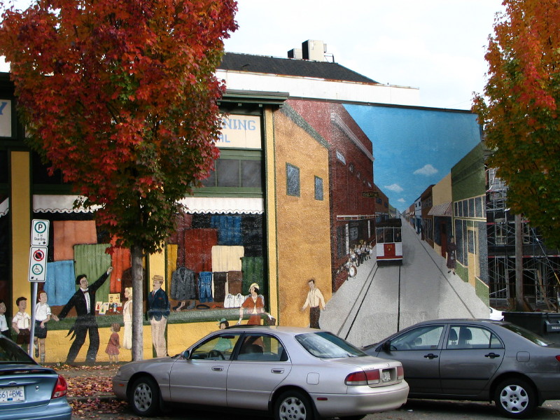
 The left half of a 1920s themed mural in the historic Heights area
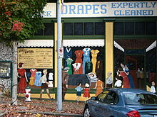
 The right half of the 1920s themed mural in the historic Heights area, off Hastings Street
The Heights commercial district between Boundary Rd and Gamma Ave is a popular and vibrant North Burnaby shopping mecca with quite a few Italian, Portuguese and Chinese restaurants, delis, bakeries and barbershops. Brentwood Town Centre is a popular shopping centre located near the intersection of Willingdon Ave and Lougheed Highway. Madison Centre at Lougheed and Rosser, steps from Brentwood Town Centre, offers a number of shops and services, including Save-On-Foods and Winners stores. There are two Safeway stores along Hastings Street — a recently rebuilt store at Hastings and Willingdon and a smaller Kensington store further east.
Parks, scenic walks and activities
The historic Heights area north of Hastings still has a number of beautiful old homes representing the 1900s–1920s residential architecture and is well worth a stroll. There are several parks in North Burnaby — Confederation Park just west of Capitol Hill, Montrose Park on the shore of the Inlet noted for its birdwatching possibilities, Willingdon Heights Park off Douglas Road and Kensington Park with its ice skating arena and public golf facilities (pitch and putt). Just off Inlet Drive, as you leave the area heading towards Port Moody, there is a wonderful seashore park called Barnet Marine Park with a beach and great views of Belcarra Regional Park across the narrow passage.
References
- ^ Explorer Publishing (2008). Vancouver Complete Residents' Guide. Explorer Publishing. p. 104. ISBN 9948033841. http://books.google.com/books?id=J9ogf8dvjogC&pg=PA104&dq=%22North+Burnaby%22&hl=en&ei=EL9aTdDEG8P48Aa-0sG0Dg&sa=X&oi=book_result&ct=result&resnum=1&ved=0CCcQ6AEwAA#v=onepage&q=%22North%20Burnaby%22&f=false.
Neighbourhoods in Burnaby, British Columbia Town Centres Neighborhoods Ardingley-Sprott • Ardley • Big Bend • Brentwood Park • Burnaby Heights • Burnaby Lake Regional Park • Burnaby Mountain • Cameron • Capitol Hill • Cariboo-Armstrong • Cascade Heights • Clinton-Glenwood • Dawson-Delta • Douglas-Gilpin • East Burnaby • Edmonds • Garden Village • Government Road • Kingsway-Beresford • Lake City • Lakeview-Mayfield • Lochdale • Lyndhurst • Marlborough • Maywood • Middlegate • Montecito • Morley-Buckingham Heights • North Burnaby • Oakalla • Parkcrest • Richmond Park • Second Street • Simon Fraser Hills • South Burnaby • South Slope • Stride Avenue • Stride Hill • Sullivan Heights • Suncrest • Sussex-Nelson • UniverCity • West Central Valley • Westridge • Willingdon Heights • WindsorCategories:- Neighbourhoods in Burnaby

Wikimedia Foundation. 2010.