- New York State Route 385
-
This article is about the current alignment of NY 385. For the former alignment of NY 385 in Orleans County, see New York State Route 385 (1930–1932).
NYS Route 385
Route information Maintained by NYSDOT Length: 13.79 mi[3] (22.19 km) Existed: ca. 1932[1][2] – present Major junctions South end:  US 9W in Catskill
North end:  US 9W / NY 81 in Coxsackie
Location Counties: Greene Highway system Numbered highways in New York
Interstate • U.S. • N.Y. (former) • Reference • County←  NY 384
NY 386  →
→New York State Route 385 (NY 385) is a state highway in Greene County, New York, United States. It runs from the village of Catskill to the village of Coxsackie, serving as an alternate route of U.S. Route 9W between the two locations. While US 9W follows a more inland routing, NY 385 runs along the Hudson River and serves the village of Athens. Modern NY 385 is the original routing of US 9W between Catskill and Coxsackie. NY 385 was originally assigned ca. 1932 to what is now US 9W between Catskill and Coxsackie; however, the alignments of both routes were flipped by the following year.
Contents
Route description
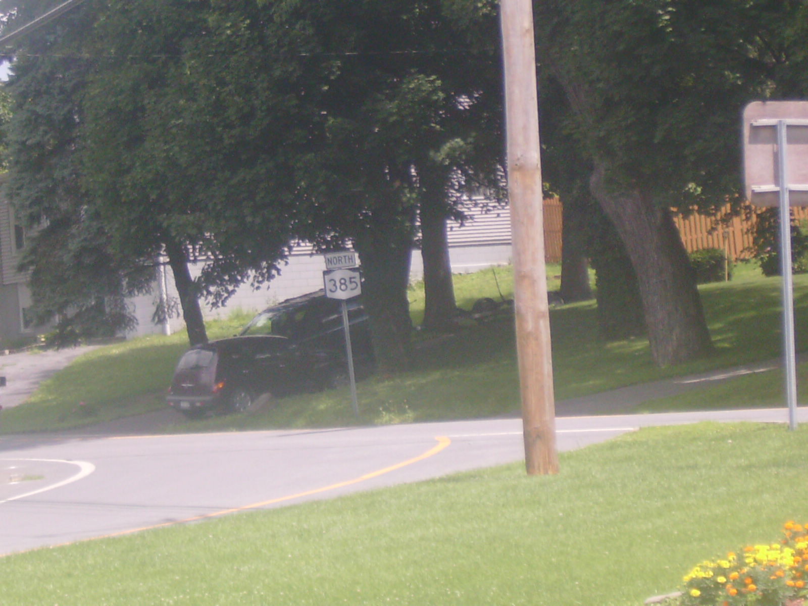
 NY 385 heading northbound from an intersection with NY 23 in Catskill
NY 385 begins in the village of Catskill as West Bridge Street, turning left as Spring Street, leaving town before crossing NY 23. In the village of Athens, it follows Washington Street. In the village of Coxsackie, NY 385 enters as Washington Avenue, turning left on West Mansion Street for its final segment.
History
In 1908, the New York State Legislature created Route 3, an unsigned legislative route extending from the New Jersey state line north to Albany. Between the villages of Catskill and Coxsackie, Route 3 ran along the Hudson River, passing through the village of Athens along the way.[4] When the first set of posted routes in New York were assigned in 1924, Route 3 became part of NY 10.[5][6] In 1927, the segment of NY 10 south of Albany was redesignated as the New York portion of U.S. Route 9W following the creation of the U.S. Highway System.[7] NY 385, meanwhile, was assigned ca. 1932 to what is now US 9W between Catskill and Coxsackie.[1][2] The alignments of NY 385 and US 9W were flipped by the following year, placing US 9W on the direct north–south highway from Catskill to Coxsackie and NY 385 on the riverside highway.[8]
Major intersections
The entire route is in Greene County.
Location Mile[3] Destinations Notes Village of Catskill 0.00 US 9WTown of Catskill 1.46  NY 23
NY 23Access to the Rip Van Winkle Bridge Town of Coxsackie 13.79 US 9W13.79 NY 81Continuation beyond US 9W 1.000 mi = 1.609 km; 1.000 km = 0.621 mi References
- ^ a b Kendall Refining Company (1931). New York (Map). Cartography by H.M. Gousha Company.
- ^ a b Texas Oil Company (1932). Texaco Road Map – New York (Map). Cartography by Rand McNally and Company.
- ^ a b "2008 Traffic Volume Report for New York State" (PDF). New York State Department of Transportation. June 16, 2009. p. 224. https://www.nysdot.gov/divisions/engineering/technical-services/hds-respository/NYSDOT%20TVR%202008%20by%20Route.pdf. Retrieved February 1, 2010.
- ^ State of New York Department of Highways (1909). The Highway Law. Albany, New York: J. B. Lyon Company. p. 54. http://books.google.com/books?id=jZ0AAAAAMAAJ&pg=PA54. Retrieved June 23, 2009.
- ^ "New York's Main Highways Designated by Numbers". The New York Times: p. XX9. December 21, 1924.
- ^ Rand McNally and Company (1926). Rand McNally Auto Road Atlas (eastern New York) (Map). http://www.broermapsonline.org/members/NorthAmerica/UnitedStates/Midatlantic/NewYork/unitedstates1926ra_009.html. Retrieved June 23, 2009.
- ^ Automobile Blue Book. 1 (1927 ed.). Chicago: Automobile Blue Book, Inc. 1927. This edition shows U.S. Routes as they were first officially signed in 1927.
- ^ Texas Oil Company (1933). Texaco Road Map – New York (Map). Cartography by Rand McNally and Company.
External links
Categories:- State highways in New York
- Transportation in Greene County, New York

Wikimedia Foundation. 2010.