- New York State Route 170
-
NYS Route 170
Route information Maintained by NYSDOT and the city of Little Falls Length: 7.33 mi[2] (11.80 km) Existed: 1930[1] – present Major junctions South end:  NY 169 in Little Falls
North end:  NY 29 in Fairfield
Location Counties: Herkimer Highway system Numbered highways in New York
Interstate • U.S. • N.Y. (former) • Reference • County← NY 169NY 171  →
→New York State Route 170 (NY 170) is a north–south state highway in Herkimer County, New York, United States. It runs from NY 169 in the city of Little Falls to NY 29 in the town of Fairfield. It has only one other junction with a signed state highway, that being NY 170A, its spur route in the town of Fairfield. NY 170 was assigned as part of the 1930 renumbering of state highways in New York and has not been altered since.
Contents
Route description
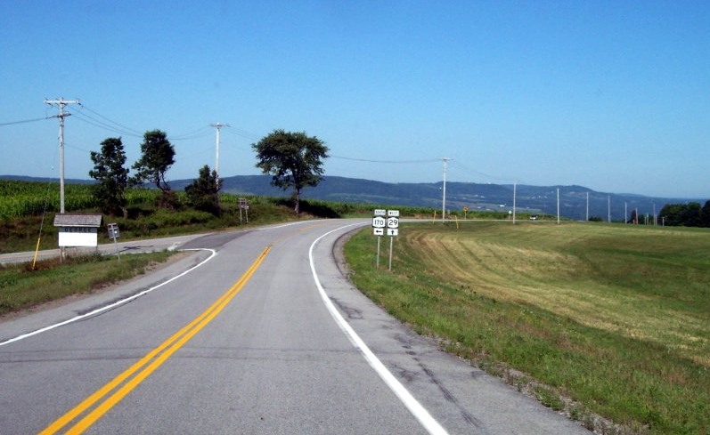
 NY 170 at an intersection near Fairfield.
NY 170 begins as East Monroe Street in the city of Little Falls, at its intersection with North Ann and West Monroe Streets, which carry NY 169. The route initially heads in an easterly direction along the northern edge of Little Falls. After about 0.5 miles (0.8 km), NY 170 turns northward and climbs a steep hill before passing the municipal golf course and leaving the city. Now in the town of Fairfield, NY 170 intersects its spur route, NY 170A, before terminating at a junction with NY 29. An erroneous "north NY 170" assembly is present on NY 169 northbound as it leaves its concurrency with NY 5 and NY 167 in downtown Little Falls.
History
The entirety of NY 170 was assigned as part of the 1930 renumbering of state highways in New York.[1] An alternate route of NY 170 through the town of Fairfield was designated as NY 170A by the following year.[3]
NY 170A

NY 170A (2.95 miles or 4.75 kilometres) is a spur connecting NY 170 to the hamlet of Salisbury in Fairfield, where it ends at NY 29.[2]
Major intersections
The entire route is in Herkimer County.
Location Mile[2] Destinations Notes City of Little Falls 0.00 NY 169 (East Monroe Street)Fairfield 4.17  NY 170A
Southern terminus of NY 170A 7.33 NY 291.000 mi = 1.609 km; 1.000 km = 0.621 mi References
- ^ a b Standard Oil Company of New York (1930). Road Map of New York (Map). Cartography by General Drafting.
- ^ a b c "2008 Traffic Volume Report for New York State" (PDF). New York State Department of Transportation. June 16, 2009. p. 177. https://www.nysdot.gov/divisions/engineering/technical-services/hds-respository/NYSDOT%20TVR%202008%20by%20Route.pdf. Retrieved February 1, 2010.
- ^ Kendall Refining Company (1931). New York (Map). Cartography by H.M. Gousha Company.
External links
Categories:- State highways in New York
- Transportation in Herkimer County, New York


Wikimedia Foundation. 2010.