- Karviná District
-
Karviná District
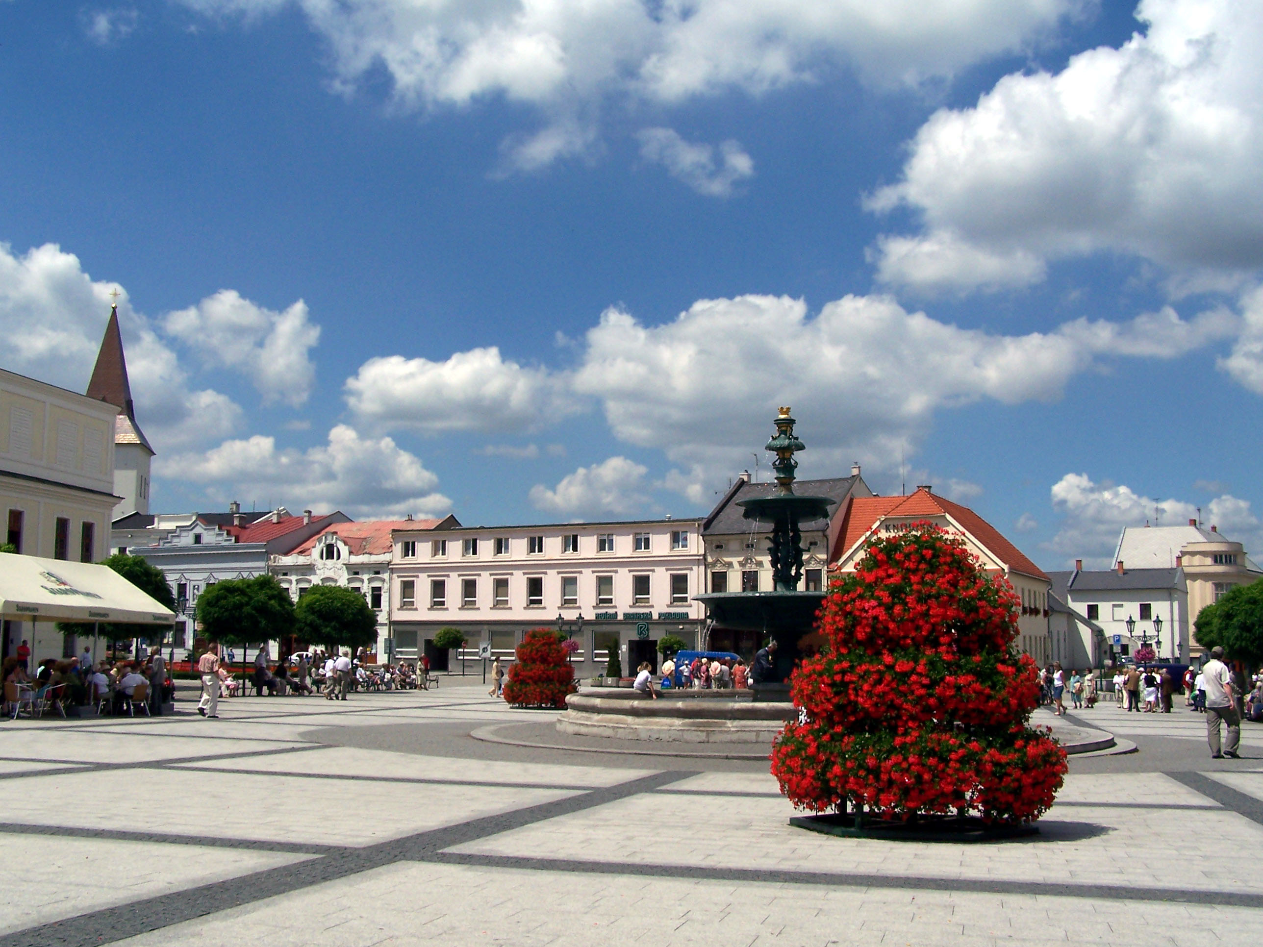
Okres Karviná— District — Town square in Karviná-Fryštát District location in the Moravian-Silesian Region within the Czech Republic
Country  Czech Republic
Region Moravian-Silesian Region Capital Karviná Area – Total 137.5 sq mi (356.24 km2) Population (2010) – Total  271,332
Time zone CET (UTC+1) – Summer (DST) CEST (UTC+2) Karviná District (Czech: Okres Karviná, Polish: Powiat Karwina) is a district (okres) within the Moravian-Silesian Region of the Czech Republic. Its administrative center is the city of Karviná. It was created by 1960 reform of administrative divisions in the area of former Fryštát District. Karviná District is part of Czech Silesia.
The Karviná district is facing fast population decline, only in first half of 2010 the decrease was 1688 people.
Municipalities
Albrechtice · Bohumín · Český Těšín · Dětmarovice · Dolní Lutyně · Doubrava · Havířov · Horní Bludovice · Horní Suchá · Chotěbuz · Karviná · Orlová · Petrovice u Karviné · Petřvald · Rychvald · Stonava · Těrlicko
External links
Coordinates: 49°51′15″N 18°32′34″E / 49.85417°N 18.54278°E

This Moravian-Silesian Region location article is a stub. You can help Wikipedia by expanding it.