Gailes railway station

Gailes railway station

Infobox UK disused station
name = Gailes


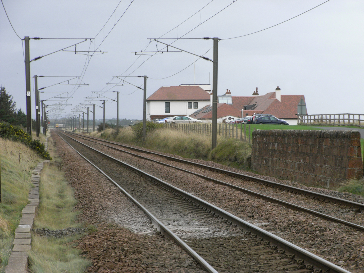
caption = Site of Gailes in 2007
line = Glasgow, Paisley, Kilmarnock and Ayr Railway
manager = Glasgow and South Western Railway
locale = Near Irvine
borough = Ayrshire
latitude = 55.5846
longitude = -4.6634
gridref = NS321355
years = 5 August 1859
events = Opened
years1 = 2 January 1967
events1 = Closed
platforms = 2|

Gailes railway station was a railway station approximately two miles south of the town of Irvine, North Ayrshire, Scotland. The station was originally part of the Glasgow, Paisley, Kilmarnock and Ayr Railway (now the Ayrshire Coast Line).

History

The station opened on 5 August 1859,Butt, page 100] and closed permanently on 2 January 1967.

Accidents

On 23 February 2007, a Ford Transit van was hit by a southbound commuter train on the level crossing at the site of the former Gailes station. The driver of the van was killed. [ [http://www.dailyrecord.co.uk/news/news/tm_method=full%26objectid=18669063%26siteid=66633-name_page.html/ Daily Record - "Gailes rail crash"] (Accessed 24 February 2007)]

References

Notes

Sources

*

rail line
previous = Barassie
"Line and station open
next = Irvine
"Line and station open
route = Glasgow and South Western Railway

"'Glasgow, Paisley, Kilmarnock and Ayr Railway
col = G&SW colour

###@@@KEYEND@@@###


Wikimedia Foundation. 2010.

Игры ⚽ Поможем сделать НИР

Look at other dictionaries:

  • Gailes railway station, Brisbane — Citytrain Station station name=Gailes region=Brisbane West servicearea1=Ipswich IB1=Wacol OB1=Goodna street=Between Ipswich Motorway and Wilruna Street suburb=Wacol zone=5 distance=21.59 platforms=2 platform arch=2 side access=street overpass… …   Wikipedia

  • Barassie railway station — Infobox UK station name = Barassie code = BSS manager = First ScotRail pte = SPT locale = Barassie borough = South Ayrshire latitude = 55.5606 longitude = 4.6507 gridref = NS328328 platforms = 2 years = 5 August 1839 events = Opened lowusage0405 …   Wikipedia

  • Irvine railway station — UK stations name = Irvine code = IRV manager = First ScotRail pte = SPT locale = Irvine borough = North Ayrshire latitude = 55.6109 longitude = 4.6747 gridref = NS315385 platforms = 2 years = 5 August 1839 events = Opened usage0405 = 0.701… …   Wikipedia

  • Oxley railway station — Oxley Station statistics Address Ardoyne Road, Oxley Coordinates …   Wikipedia

  • Chelmer railway station — Chelmer Station statistics Address 140 Honour Avenue, Chelmer Coordinates …   Wikipedia

  • Corinda railway station — Corinda Station statistics Address Cnr Watt Street Ruthven Street, Corinda Coordinates …   Wikipedia

  • Dinmore railway station — Dinmore Station statistics Address River Road and Mason Street, Dinmore Coordinates …   Wikipedia

  • Darra railway station — Darra Station statistics Address Darra Station Road, Darra Coordinates …   Wikipedia

  • Milton railway station, Brisbane — Milton Station statistics Address Milton Road, Milton Coordinates …   Wikipedia

  • Wacol railway station, Brisbane — Citytrain Station station name=Wacol region=Brisbane West servicearea1=Ipswich IB1=Darra OB1=Gailes street=within Wilrunda Street, Wacol Station Road and Akenside Street suburb=Wacol zone=4/5 distance=19.97 platforms=2 platform arch=2 side access …   Wikipedia

Share the article and excerpts

Direct link
Do a right-click on the link above
and select “Copy Link”