Chtelnica

Chtelnica

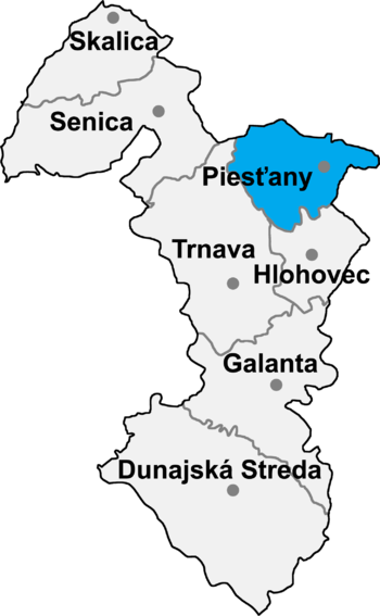
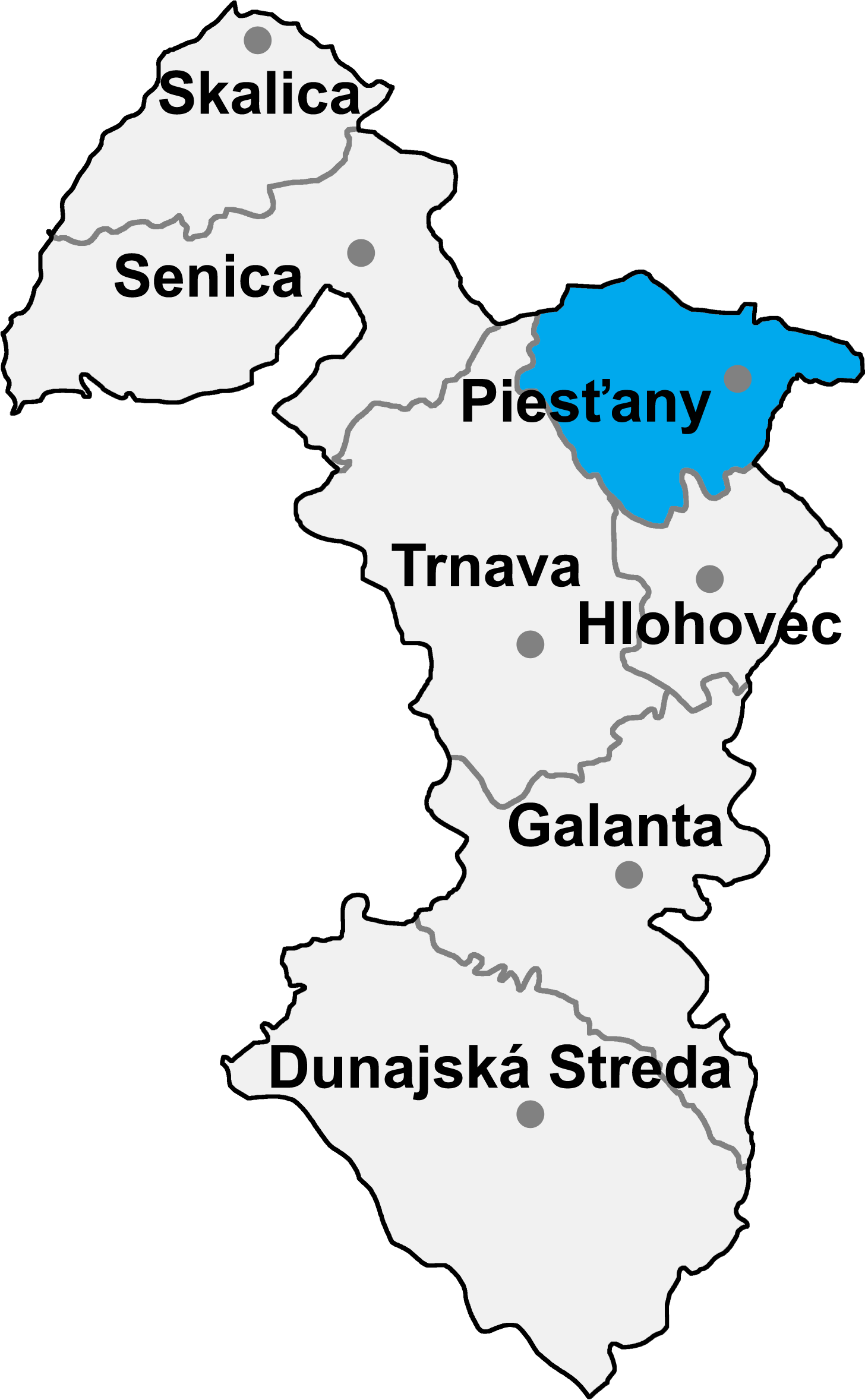
Chtelnica is a village and municipality in Piešťany District in the Trnava Region of western Slovakia.

History

In historical records the village was first mentioned in 1208.

Geography

The municipality lies at an altitude of 204 metres and covers an area of 32.965km². It has a population of about 2551 people.

External links

Coordinates: 48°34′N 17°37′E / 48.567°N 17.617°E / 48.567; 17.617


Wikimedia Foundation. 2010.

Игры ⚽ Поможем решить контрольную работу

Look at other dictionaries:

  • Chtelnica — Wappen Karte …   Deutsch Wikipedia

  • Chtelnica — (Village) Administration …   Wikipédia en Français

  • Trnava Region — Geobox | Region name = Trnava category = Region image caption = image caption = symbol = symbol type = etymology = official name = motto = nickname = country = Slovakia country state = region = district = commune = municipality = border = part… …   Wikipedia

  • Ducové — Coordinates: 48°37′40″N 17°52′05″E / 48.62778°N 17.86806°E / 48.62778; 17.86806 …   Wikipedia

  • Piešťany District —   District   Country Slovakia …   Wikipedia

  • List of municipalities and towns in Slovakia — Slovakia This is a comprehensive list of municipalities and towns in Slovakia. For lists of towns and municipalities sorted by Regions see the individual articles on Regions. For an outdated list of towns only in Slovakia see also List of towns… …   Wikipedia

  • Drahovce — Location of Piešťany District in the Trnava Region Drahovce is a village and municipality in Piešťany District in the Trnava Region of western Slovakia. History In historical records the village was …   Wikipedia

  • Dubovany — Location of Piešťany District in the Trnava Region Dubovany is a village and municipality in Piešťany District in the Trnava Region of western Slovakia. History In historical records the village was …   Wikipedia

  • Ostrov, Piešťany District — Location of Piešťany District in the Trnava Region Ostrov is a village and municipality in Piešťany District in the Trnava Region of western Slovakia. Contents …   Wikipedia

  • Moravany nad Váhom — Coordinates: 48°36′10″N 17°51′50″E / 48.60278°N 17.86389°E / 48.60278; 17.86389 …   Wikipedia

Share the article and excerpts

Direct link
Do a right-click on the link above
and select “Copy Link”