- Ducové
-
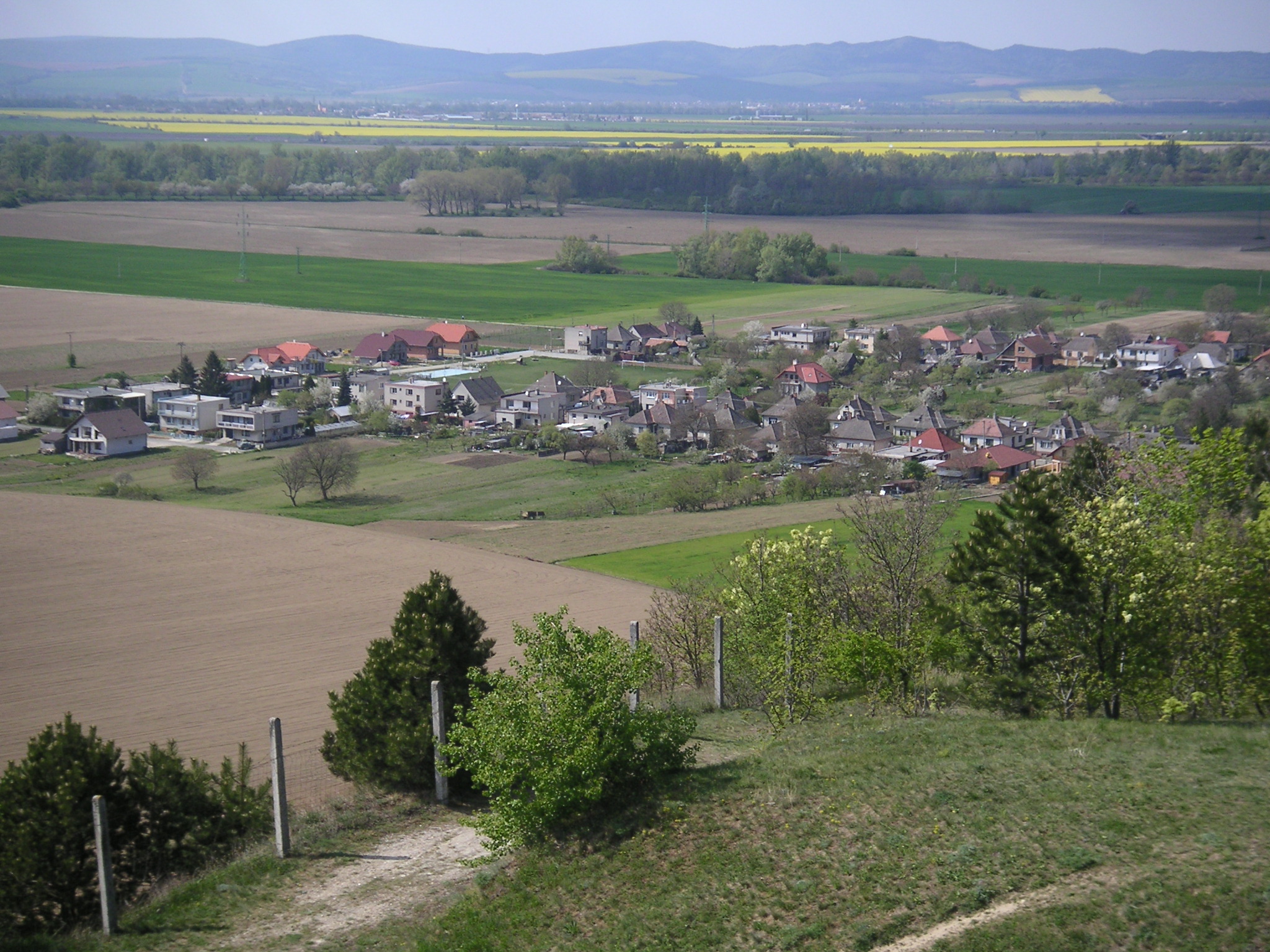
Ducové Village  View on the village from the Kostolec hill
Country Slovakia Region Trnava District Piešťany Elevation 200 m (656 ft) Coordinates 48°37′40″N 17°52′05″E / 48.62778°N 17.86806°E Area 2.63 km2 (1.02 sq mi) Population 357 (31 December 2004) Density 136 / km2 (352 / sq mi) First mentioned 1348 Mayor Mária Koláriková (independent) Postal code 922 21 Area code +421-33 Car plate PN 

 Location of Ducové in Slovakia
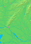
 Location of Ducové in the Trnava Region
Wikimedia Commons: Ducové Statistics: MOŠ/MIS Website: www.ducove.sk Ducové (Hungarian: Ducó) is a municipality (village) situated in western Slovakia, near the spa town of Piešťany. It was part of the municipality Moravany nad Váhom from 1976 to 1992. The village lies under the Váh Inovec.
Ducové has area of 2.63 km² and population of 357 (as of 2004).
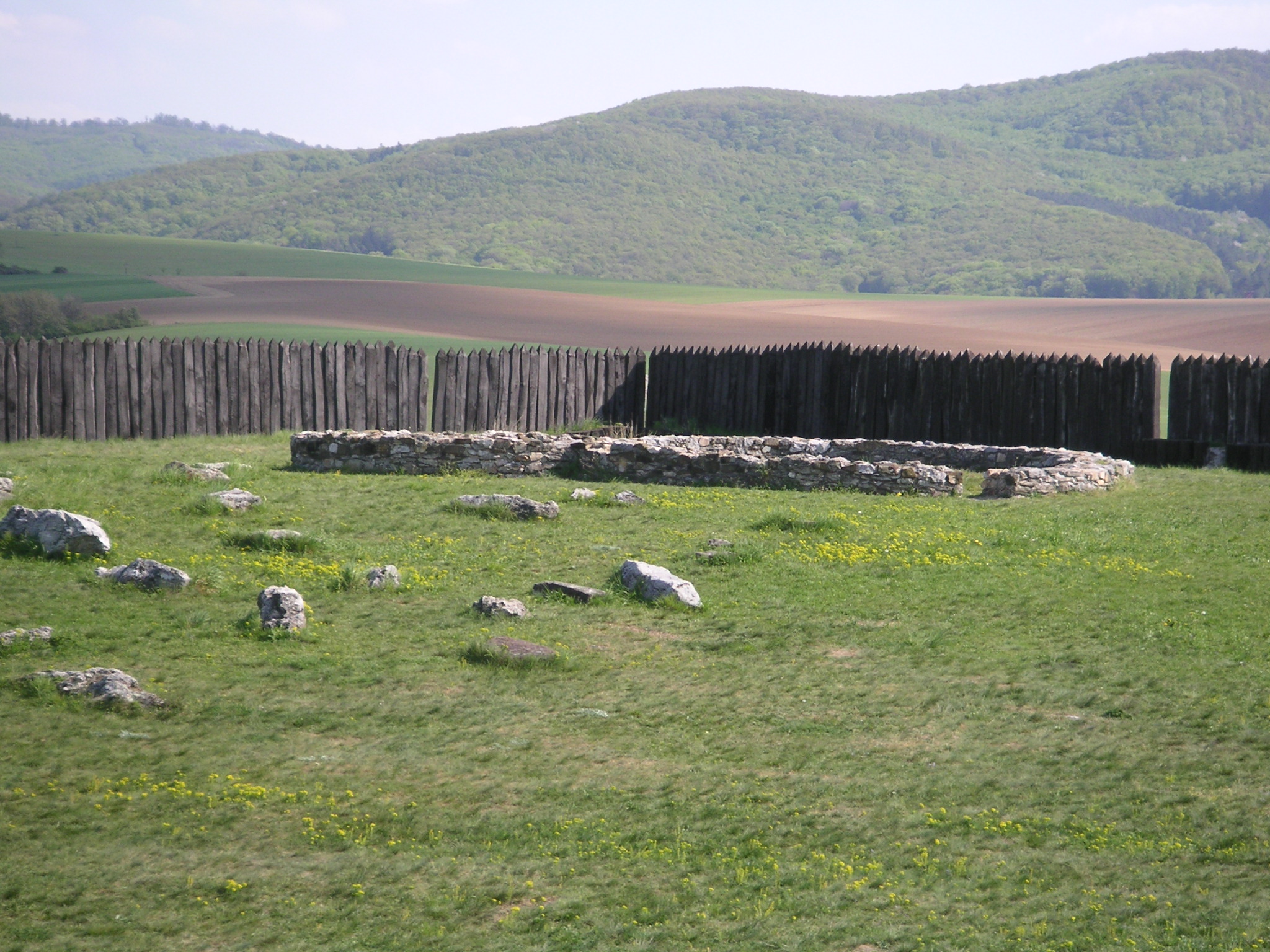
Great Moravian castle
Ducové is famous for an archaeological site on the Kostolec hill, where an important Great Moravian castle has been unearthed. The castle, including a small palace, a Christian rotunda church, and a graveyard of local nobles, served as the administrative center of the Váh river valley (the Trenčín county) during the 9th century and the first half of the 10th century. It was founded after the nearby Nitrian castle in Pobedim was destroyed during unification of Great Moravia by Mojmír I. Ducové castle was destroyed itself by Magyar invaders around 955. Some parts of the castle (such as its palisades) have been reconstructed by archaeologists. Excavations of older settlements from the Stone Age, Bronze Age and the Roman era indicate that Ducové benefited from its location on the Amber Road well before the Great Moravian era.
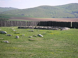 Ruins of a church and reconstructed palisades of the Great Moravian castle in Ducové
External links
Piešťany · Vrbové
Banka · Bašovce · Borovce · Dolný Lopašov · Drahovce · Dubovany · Ducové · Hubina · Chtelnica · Kočín-Lančár · Krakovany · Moravany nad Váhom · Nižná · Ostrov · Pečeňady · Prašník · Rakovice · Ratnovce · Sokolovce · Šípkové · Šterusy · Trebatice · Veľké Kostoľany · Veľké Orvište · Veselé Categories:
- Villages and municipalities in Piešťany District
- Castles in Slovakia
- Archaeological sites in Slovakia
- Great Moravia
- Rotundas
- Trnava Region geography stubs
- Slovak building and structure stubs
- European castle stubs


Wikimedia Foundation. 2010.