- Pobedim
Geobox | Settlement
name = Pobedim
other_name =
category = Village
image_caption =
symbol =
etymology =
official_name =
motto =
nickname =
country = Slovakia
country_
state =
region = Trenčín
district = Nové Mesto nad Váhom
municipality =
part =
river =
location =
elevation = 169
lat_d = 48
lat_m = 39
lat_NS = N
long_d = 17
long_m = 48
long_EW = E
coordinates_type = region:SK_type:city
highest =
highest_elevation =
highest_lat_d =
highest_long_d =
lowest =
lowest_elevation =
lowest_lat_d =
lowest_long_d =
area = 8.609
area_round = 3
population = 1218
population_date = 2004-12-31
population_density = auto
established = 1355
established_type = First mentioned
mayor =
timezone =
timezone_DST =
postal_code = 916 23
area_code = +421-32
code = NM
code_type = Car plate
free =

map_background = Slovakia - background map.png
map_locator = Slovakia
commons =
statistics = [http://www.statistics.sk/mosmis/eng/prvav2.jsp?txtUroven420304&lstObec506401&Okruhzaklad MOŠ/MIS]
website = [http://www.e-obce.sk/obec/pobedim/pobedim.htlm at e-obce.sk]
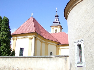
footnotes =Pobedim is a
village andmunicipality inNové Mesto nad Váhom District in theTrenčín Region of westernSlovakia .History
In historical records the
village was first mentioned in 1392.Geography
The
municipality lies at analtitude of 169 metres and covers anarea of 8.609km². It has apopulation of about 1,218 people.External links
*http://www.e-obce.sk/obec/pobedim/pobedim.htlm


Wikimedia Foundation. 2010.