- Boulby Mine
-
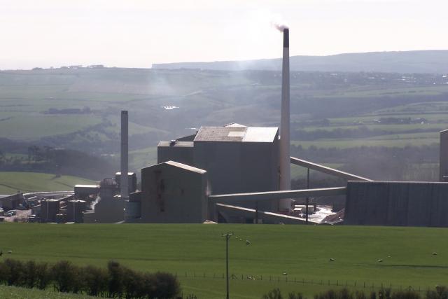
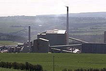 Surface workings at Boulby Mine
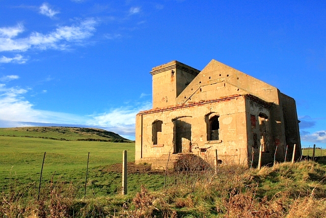
 Ruins of Fan House, Huntcliff Ironstone Mine. The mine entrance went under the Cleveland Railway which still runs alongside to carry potash trains from the Boulby Mine.
Boulby Mine is a 200-hectare (490-acre) site run by Cleveland Potash, located just southeast of the village of Boulby, on the northeast coast of the North Yorkshire Moors in Redcar and Cleveland, England. It is Europe's second deepest mine at 1,400 metres (4,600 ft)—Pyhäsalmi Mine in Finland is even deeper, being 1,448 metres deep—producing half of the UK's output of potash, an agricultural fertilizer. As a by-product the mine produces rock salt, used across the region as a de-icing agent on roads in winter conditions.
Much of the output from the mine is transported by rail, as the site is located south of Loftus along the route of the former WRMU (Whitby Redcar and Middlesbrough Union Railway), closed on 5 May 1958. Today the line is open from Saltburn to Boulby for goods traffic only.
Construction on the mine began in 1969, and the mine began producing potash in 1973. The mine was the source of all of the UK's home-produced potash—around 55 percent of the total UK market. It occurs between 1.2 kilometres (0.75 mi) and 1.5 kilometres (0.93 mi) below ground and has an average seam thickness of 7 metres (23 ft).
Because of its depth, Boulby Mine is used to house the ZEPLIN-III dark matter detector 1,100 meters below the surface in the Boulby Underground Laboratory. It also housed the UK Dark Matter Collaboration.
The mine also houses the Directional Recoil Identification From Tracks (DRIFT) detector, a low pressure negative ion time projection chamber (NITPC) designed to detect weakly interacting massive particles (WIMPs) - a prime dark matter candidate. There are currently two DRIFT detectors in operation. DRIFT-IIb, which is located 1100 m underground in the Boulby Underground Laboratory at the Boulby Mine in and DRIFT-IIc, which is located on the surface at Occidental College, Los Angeles, California, USA.
See also
- Winsford – home of Britain's largest rock salt mine
References
Categories:- Underground laboratories
- Underground mines in England

Wikimedia Foundation. 2010.