- Osturňa
-
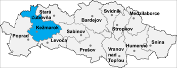
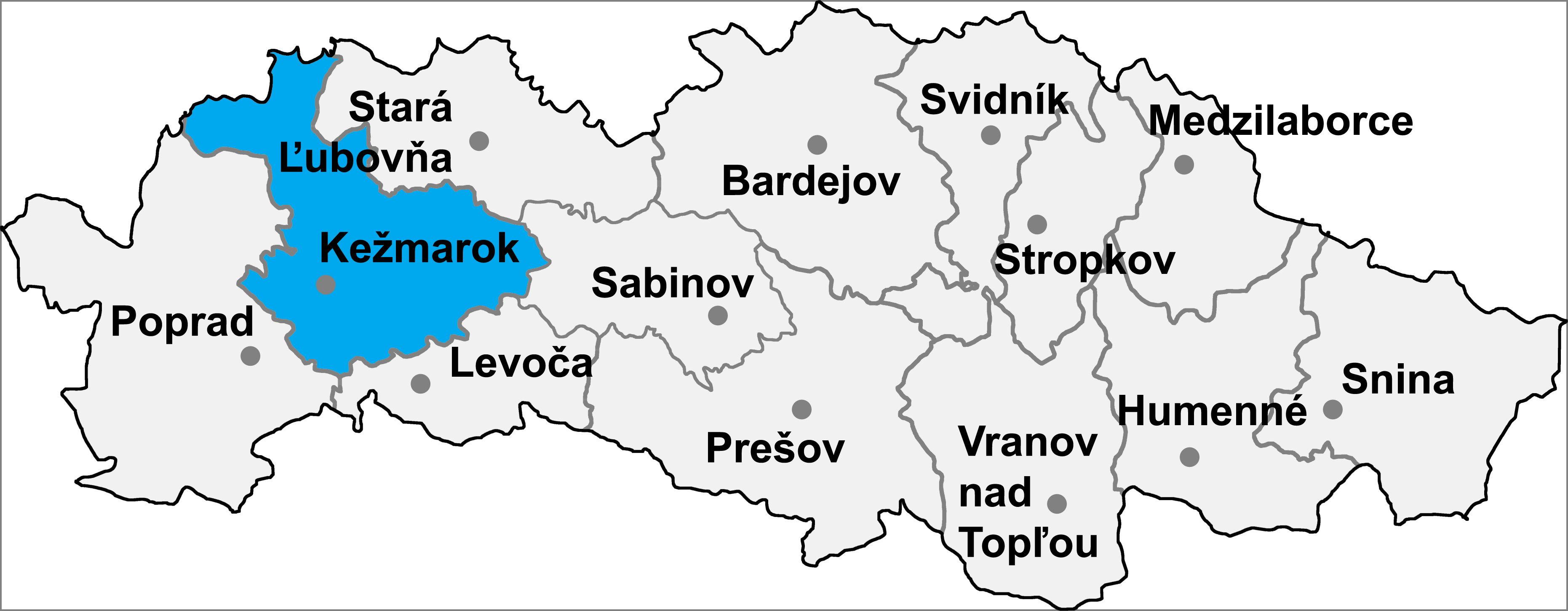
Osturňa (Hungarian: Osztornya, German: Asthorn) is a village and municipality in Kežmarok District in the Prešov Region of north Slovakia.
History
In historical records the village was first mentioned in 1593.
Geography
The municipality lies at an altitude of 717 metres and covers an area of 41.237km² . It has a population of about 412 people.
External links
Kežmarok · Spišská Belá · Spišská Stará Ves
Abrahámovce · Bušovce · Červený Kláštor · Havka · Holumnica · Hradisko · Huncovce · Ihľany · Javorina · Jezersko · Jurské · Krížová Ves · Lechnica · Lendak · Ľubica · Majere · Malá Franková · Malý Slavkov · Matiašovce · Mlynčeky · Osturňa · Podhorany · Rakúsy · Reľov · Slovenská Ves · Spišské Hanušovce · Stará Lesná · Stráne pod Tatrami · Toporec · Tvarožná · Veľká Franková · Veľká Lomnica · Vlková · Vlkovce · Vojňany · Vrbov · Výborná · Zálesie · Žakovce
Coordinates: 49°20′N 20°14′E / 49.333°N 20.233°E
Categories:- Villages and municipalities in Kežmarok District
- Prešov Region geography stubs
Wikimedia Foundation. 2010.