- Mlynčeky
-
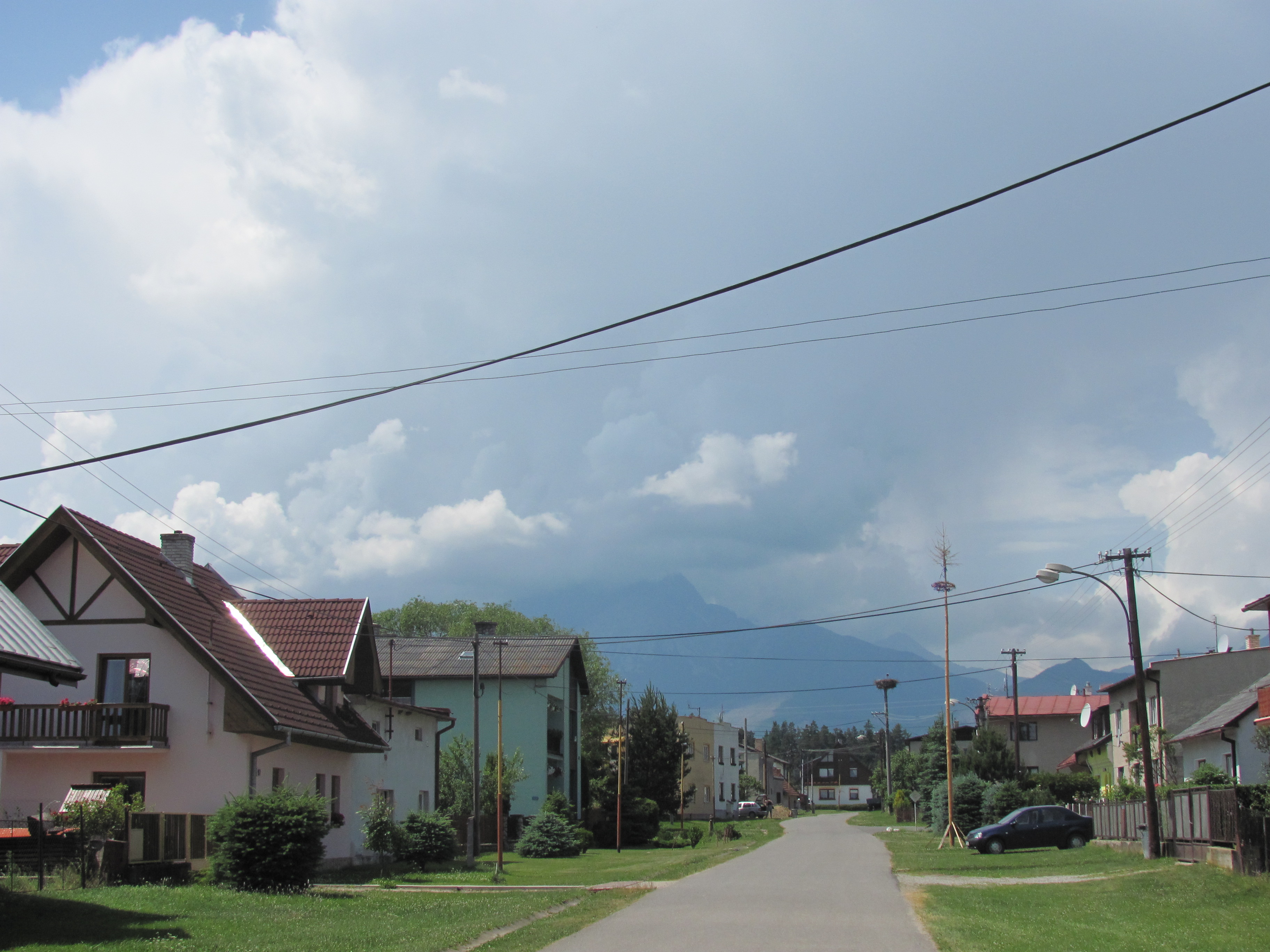
Mlynčeky Village 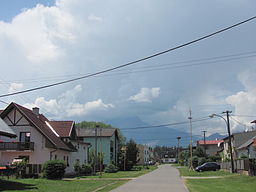 Mlynčeky Village with the Tatras in the background.
Name origin: 'Mlynček' means 'Mill' (as in millstone) in Slovak Country Slovakia Region Prešov District Sabinov Tourism region Spiš Elevation 680 m (2,231 ft) Coordinates 49°10′27″N 20°23′40″E / 49.17417°N 20.39444°E Area 7.679 km2 (3 sq mi) Population 620 Density 81 / km2 (210 / sq mi) Founded 1890 Mayor Milena Svocáková Timezone CET (UTC+1) - summer (DST) CEST (UTC+2) Postal code 059 76 Area code 052 

 Location in Slovakia
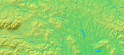
 Location in the Prešov Region
Website: http://www.mlynceky.sk/ Mlynčeky is a (Hungarian: Tátraháza, German: Mühlerchen) village and municipality in Kežmarok District in the Prešov Region of north Slovakia.
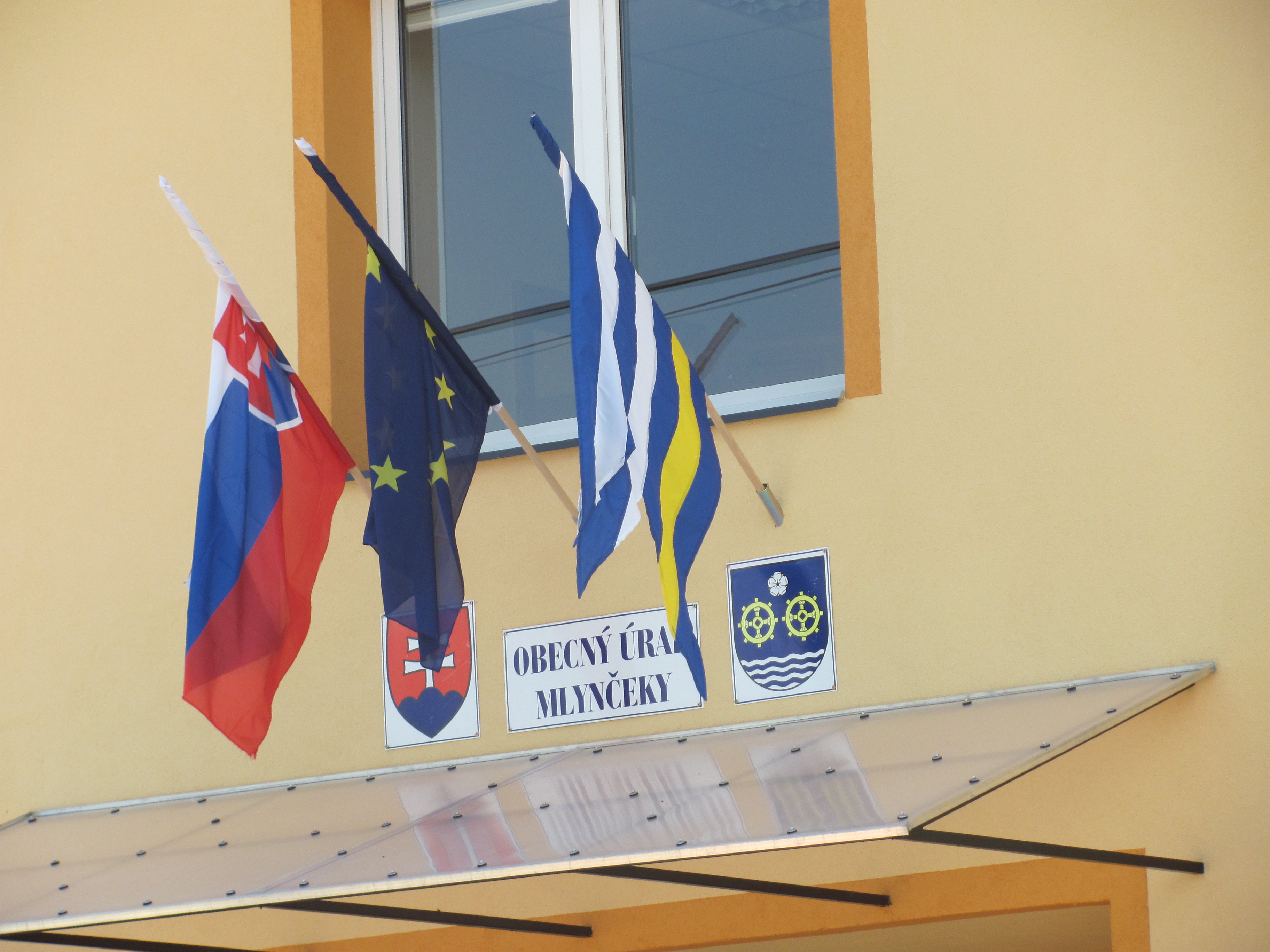
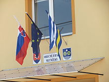 Mlynčeky Municipal Building with Slovak, European Union and local flags in front
History
In the village was built in 1890.
Geography
The municipality lies at an altitude of 680 metres and covers an area of 7.679km² . It has a population of about 620 people.
External links
Kežmarok · Spišská Belá · Spišská Stará Ves
Abrahámovce · Bušovce · Červený Kláštor · Havka · Holumnica · Hradisko · Huncovce · Ihľany · Javorina · Jezersko · Jurské · Krížová Ves · Lechnica · Lendak · Ľubica · Majere · Malá Franková · Malý Slavkov · Matiašovce · Mlynčeky · Osturňa · Podhorany · Rakúsy · Reľov · Slovenská Ves · Spišské Hanušovce · Stará Lesná · Stráne pod Tatrami · Toporec · Tvarožná · Veľká Franková · Veľká Lomnica · Vlková · Vlkovce · Vojňany · Vrbov · Výborná · Zálesie · Žakovce Categories:
- Villages and municipalities in Kežmarok District
- Prešov Region geography stubs


Wikimedia Foundation. 2010.