- Circular Head Council
-
Circular Head Council
Tasmania
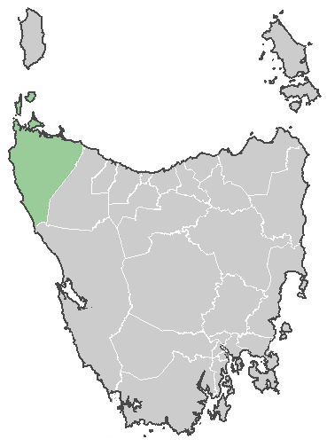
Circular Head CouncilPopulation: 8,263[1] Coordinates: 41°6′36″S 145°02′24″E / 41.11°S 145.04°ECoordinates: 41°6′36″S 145°02′24″E / 41.11°S 145.04°E Area: 4917 km² (1,898.5 sq mi) Mayor: Ross Hine Council Seat: Smithton Region: Smithton and Stanley area State District: Braddon Federal Division: Braddon LGAs around Circular Head Council: King Island Bass Strait Bass Strait Southern Ocean Circular Head Council Waratah-Wynyard Southern Ocean West Coast West Coast The Circular Head Council is a Local Government Area of Tasmania. It covers the far north-west corner of the state mainland.
The major centres of the municipality are Smithton, on the north coast; Stanley, east of Smithton; and Marrawah on the west coast. It also includes the geographical formation of The Nut, at Stanley, and some islands just off the north west tip of the state including Robbins Island, Hunter Island and Three Hummock Island.
References
- ^ Australian Bureau of Statistics (31 March 2011). "3218.0 - Regional Population Growth, Australia, 2009-10". http://www.abs.gov.au/AUSSTATS/abs@.nsf/DetailsPage/3218.02009-10?OpenDocument. Retrieved 23 August 2011. Estimated resident population (ERP) at 30 June 2010.
External links
Categories:- Local Government Areas of Tasmania
- North West Tasmania
Wikimedia Foundation. 2010.