- Tsirang District
-
Coordinates: 26°55′N 90°5′E / 26.917°N 90.083°E
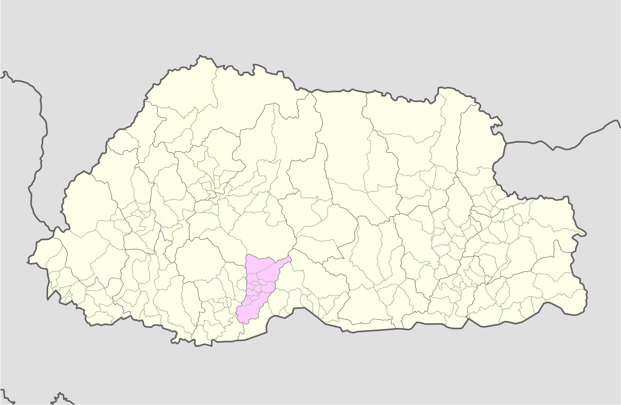
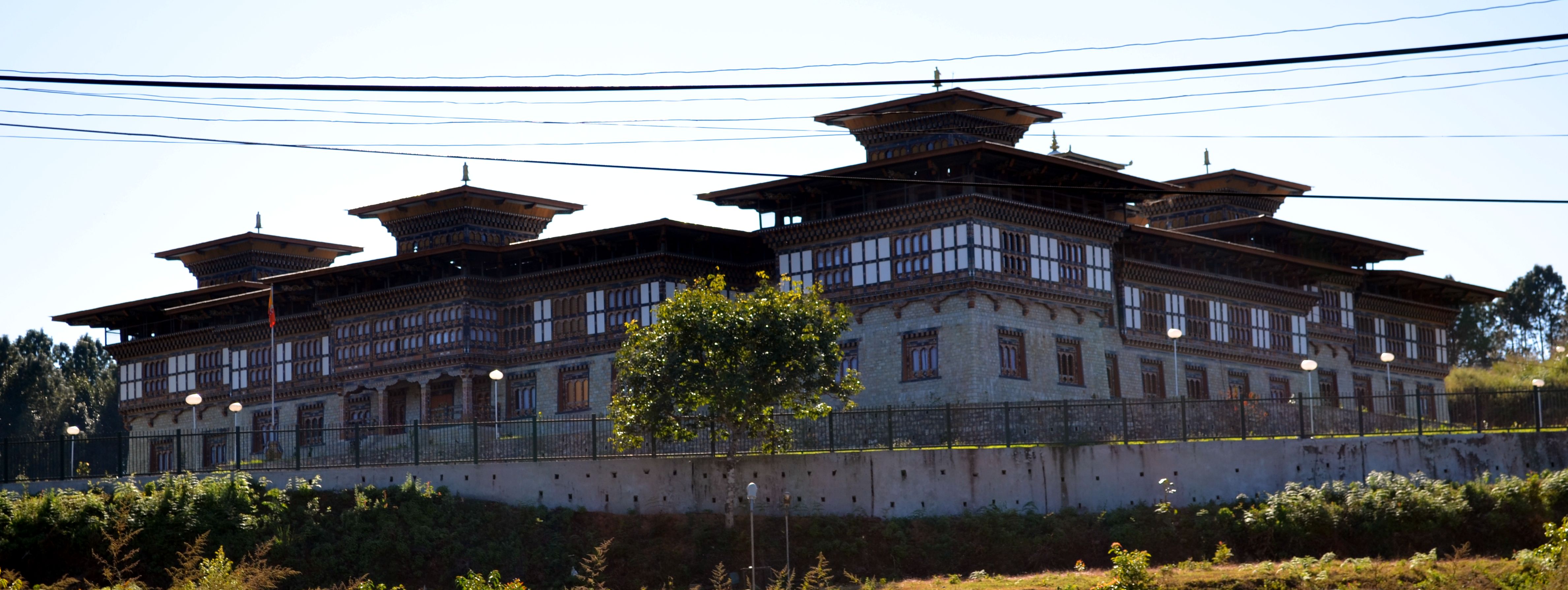
Tsirang District (Dzongkha: རྩི་རང་རྫོང་ཁག་; Wylie: Rtsi-rang rdzong-khag; previously "Chirang"), is one of the 20 dzongkhags (districts) of Bhutan. The administrative center of the district is Damphu
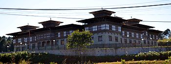 Tsirang Dzong at Damphu, Bhutan.
Tsirang is noted for its gentle slopes and mild climates. The dzongkhag is also noted for its rich biodiversity, however it is one of the few dzongkhags without a protected area. One of Bhutan's longest rivers, the Punatsang Chhu or Sankosh river flows through the district. It is the main districts where the Lhotshampa reside.
Contents
Languages
The dominant language in Tsirang is Nepali, spoken by the heterogeneous Lhotshampa. In the north, Dzongkha, the national language, is also spoken.
Geography
Tsirang is divided into twelve gewogs:[1]
- Barshong Gewog
- Dunglegang Gewog
- Goseling Gewog
- Kikhorthang Gewog
- Mendrelgang Gewog
- Patale Gewog
- Phutenchhu Gewog
- Rangthangling Gewog
- Semjong Gewog
- Sergithang Gewog
- Tsholingkhar Gewog
- Tsirangtoe Gewog
The northernmost reaches of Tsirang (Pungtenchhu, Sergithang Gewogs) lie within Jigme Singye Wangchuck National Park, one of the protected areas of Bhutan.[2][3]
See also
References
- ^ "Chiwogs in Tsirang" (PDF). Election Commission, Government of Bhutan. 2011. http://www.election-bhutan.org.bt/2011/finaldelimitation/Tsirang.pdf. Retrieved 2011-07-28.
- ^ "Parks of Bhutan". Bhutan Trust Fund for Environmental Conservation online. Bhutan Trust Fund. http://www.bhutantrustfund.bt/parks-of-bhutan. Retrieved 2011-03-26.
- ^ "Chiwogs in Tsirang" (PDF). Election Commission, Government of Bhutan. 2011. http://www.election-bhutan.org.bt/2011/finaldelimitation/Tsirang.pdf. Retrieved 2011-07-28.
Districts (dzongkhag) of Bhutan Central 
Southern Western Eastern Categories:- Districts of Bhutan
- Tsirang District
- Bhutan geography stubs
Wikimedia Foundation. 2010.