- Chukha District
-
Coordinates: 27°0′N 89°30′E / 27°N 89.5°E
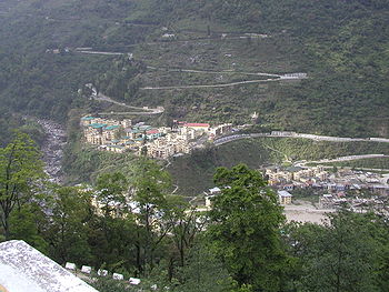
View of Phuntsholing, Chukha District
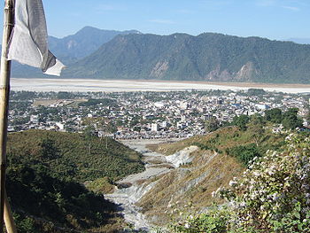
Chukha District (Dzongkhag: ཆུ་ཁ་རྫོང་ཁག་; Wylie: Chu-kha rdzong-khag; also spelled "Chhukha") is one of the 20 dzongkhag (districts) comprising Bhutan. The major town is Phuentsholing which is the gateway city along the sole road which connects India to western Bhutan (cf. Lateral Road). Chukha is the commercial and the financial capital of Bhutan. With Bhutan's oldest hydropower plant, Chukha hydel (completed in 1986-88), and Tala Hydroelectricity Project, the country's largest power plant, Chukha is the dzongkhag which contributes the most to the GDP of the country. Also located in Chukha district are some of the country's oldest industrial companies like the Bhutan Carbide Chemical Limited (BCCL) and the Bhutan Boards Products Limited (BBPL).
Contents
Languages
In Chukha, the main native languages are Dzongkha, the national language spoken by Ngalop people in the north, and Nepali in the south. The Bhutanese Lhokpu language, spoken by the Lhop minority, is also present in the southwest along the border with Samtse District.
Geography
Chukha is divided into eleven gewogs:[1]
- Bjacho Gewog
- Bongo Gewog
- Chapcha Gewog
- Dala Gewog
- Dungna Gewog
- Geling Gewog
- Getena Gewog
- Logchina Gewog
- Metakha Gewog
- Phuentsholing Gewog
- Sampheling
Unlike most other districts, Chukha, along with Samtse, contain no protected areas of Bhutan. Although much of southern Bhutan contained protected areas in the 1960s, park-level environmental protection became untenable.[2][3]
See also
- Districts of Bhutan
- Paro Province
- Daga Province
References
- ^ "Chiwogs in Chukha" (PDF). Election Commission, Government of Bhutan. 2011. http://www.election-bhutan.org.bt/2011/finaldelimitation/chukha.pdf. Retrieved 2011-07-28.
- ^ "Parks of Bhutan". Bhutan Trust Fund for Environmental Conservation online. Bhutan Trust Fund. http://www.bhutantrustfund.bt/parks-of-bhutan. Retrieved 2011-03-26.
- ^ "The Organisation". Bhutan Trust Fund for Environmental Conservation online. Bhutan Trust Fund. http://www.bhutantrustfund.bt/about-bhutan-trust-fund/the-organisation. Retrieved 2011-03-26.
External links
- Official Dzhongkha profile with a map of gewogs
- Five year plan 2002-2007
- Travel diary from Phuentsholing
- Urban problems in Phuentsholing From RAO Online
Districts (dzongkhag) of Bhutan Central 
Southern Western Eastern Categories:- Bhutan geography stubs
- Chukha District
- Districts of Bhutan
Wikimedia Foundation. 2010.


