- Handlová
-
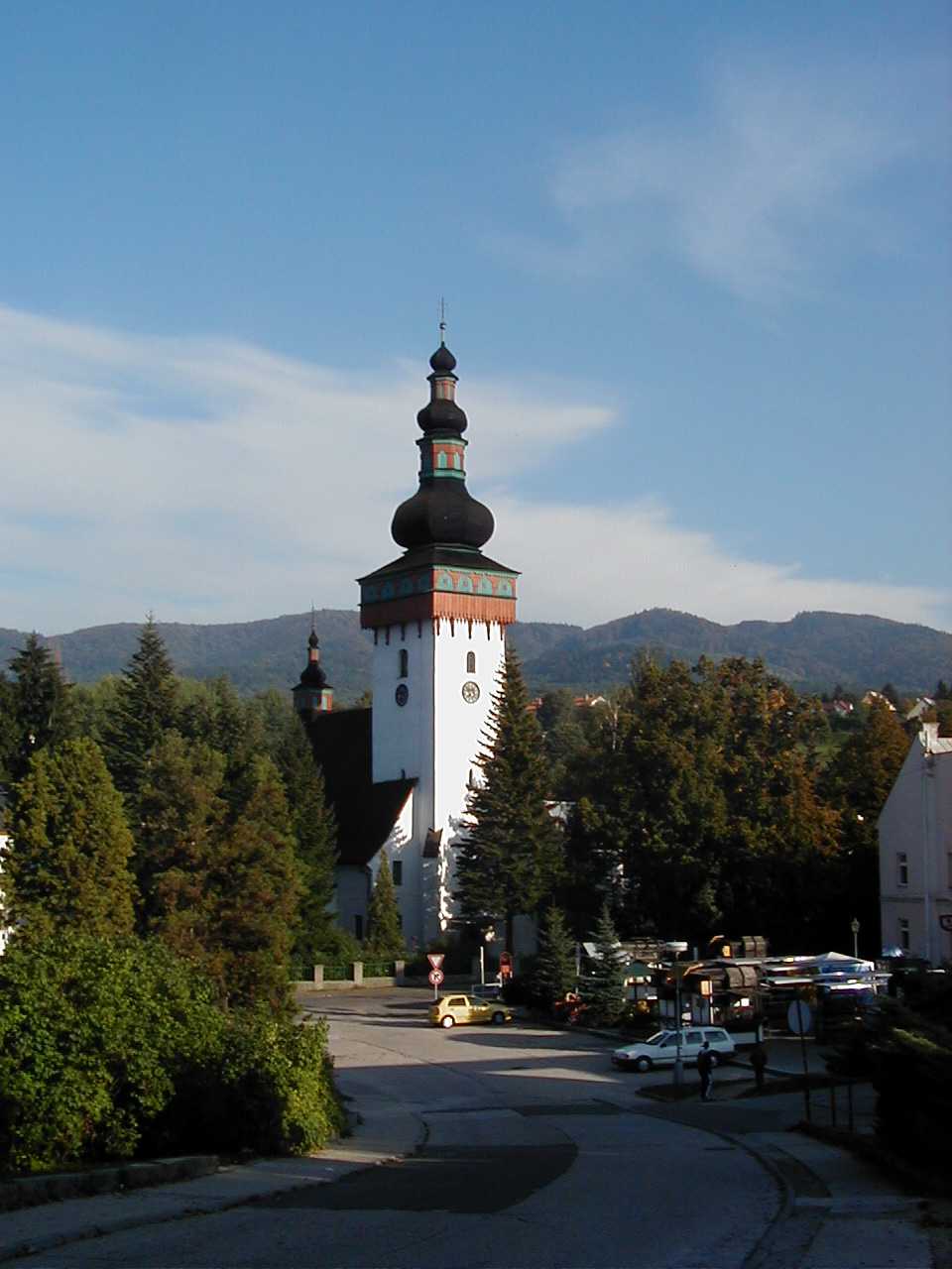
Handlová Town 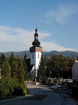 St. Catherine Church in Handlová
Country Slovakia Region Trenčín District Prievidza Elevation 420 m (1,378 ft) Coordinates 48°43′38″N 18°45′43″E / 48.72722°N 18.76194°E Area 50.75 km2 (19.59 sq mi) Population 17,698 (2005) Density 349 / km2 (904 / sq mi) Founded 1376 Mayor Rudolf Podoba (SMER) Timezone CET (UTC+1) - summer (DST) CEST (UTC+2) Postal code 972 51 Area code +421-46 Car plate PD 

 Location of Handlová in Slovakia
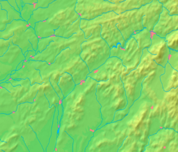
 Location of Handlová in the Trenčín Region
Statistics: MOŠ/MIS Website: www.handlova.sk Handlová (German: Krickerhau, Hungarian: Nyitrabánya, before 1913 Handlova) is a town in the Prievidza District, Trenčín Region in the middle of Slovakia. It is made up of the three parts Handlová, Nová Lehota and Morovno.
Contents
Geography
It is located in the Handlovka brook valley, surrounded by the mountain ranges of Vtáčnik in the west and Žiar in the south, east and north, in the historical region of Hauerland. It is 15 km away from Prievidza and 20 km from Žiar nad Hronom.
Besides the main settlement, it also has "parts" of Morovno (north-west) and Nová Lehota (south), both annexed 1976.
History
The town was established in 1376 and was inhabited by German settlers which were later known as the Carpathian Germans. Coal was first mined in the second half of the 18th century. The town had high German population until World War II. It received town privileges in 1960.
Demographics
According to the 2001 census, the town had 18,018 inhabitants. 96.14% of inhabitants were Slovaks, 0.85% Hungarian, 0.67% Czechs and 0.24% Germans.[1] The religious make-up was 46.10% people with no religious affiliation, 44.74% Roman Catholics and 2.42% Lutherans.[1]
People
- Martin Škrtel, Slovak footballer
- Riki Kamarena, Slovak footballer
Twin towns
Handlová is twinned with
References
- ^ a b "Municipal Statistics". Statistical Office of the Slovak republic. Archived from the original on 2007-11-16. http://web.archive.org/web/20071116010355/http://www.statistics.sk/mosmis/eng/run.html. Retrieved 2007-12-09.
External links
Municipalities of Prievidza District Bojnice · Handlová · Nováky · Prievidza
Bystričany · Cigeľ · Čavoj · Čereňany · Diviacka Nová Ves · Diviaky nad Nitricou · Dlžín · Dolné Vestenice · Horná Ves · Horné Vestenice · Chrenovec-Brusno · Chvojnica · Jalovec · Kamenec pod Vtáčnikom · Kanianka · Kľačno · Kocurany · Kostolná Ves · Koš · Lazany · Lehota pod Vtáčnikom · Liešťany · Lipník · Malá Čausa · Malinová · Nedožery-Brezany · Nevidzany · Nitrianske Pravno · Nitrianske Rudno · Nitrianske Sučany · Nitrica · Opatovce nad Nitrou · Oslany · Podhradie · Poluvsie · Poruba · Pravenec · Radobica · Ráztočno · Rudnianska Lehota · Sebedražie · Seč · Šutovce · Temeš · Tužina · Valaská Belá · Veľká Čausa · Zemianske Kostoľany Categories:
- Cities and towns in Slovakia
- Villages and municipalities in Prievidza District
- Trenčín geography stubs


Wikimedia Foundation. 2010.