- Lehota pod Vtáčnikom
Geobox|Settlement
name = Lehota pod Vtáčnikom
category = Village
etymology =
official_name =
motto =
nickname =
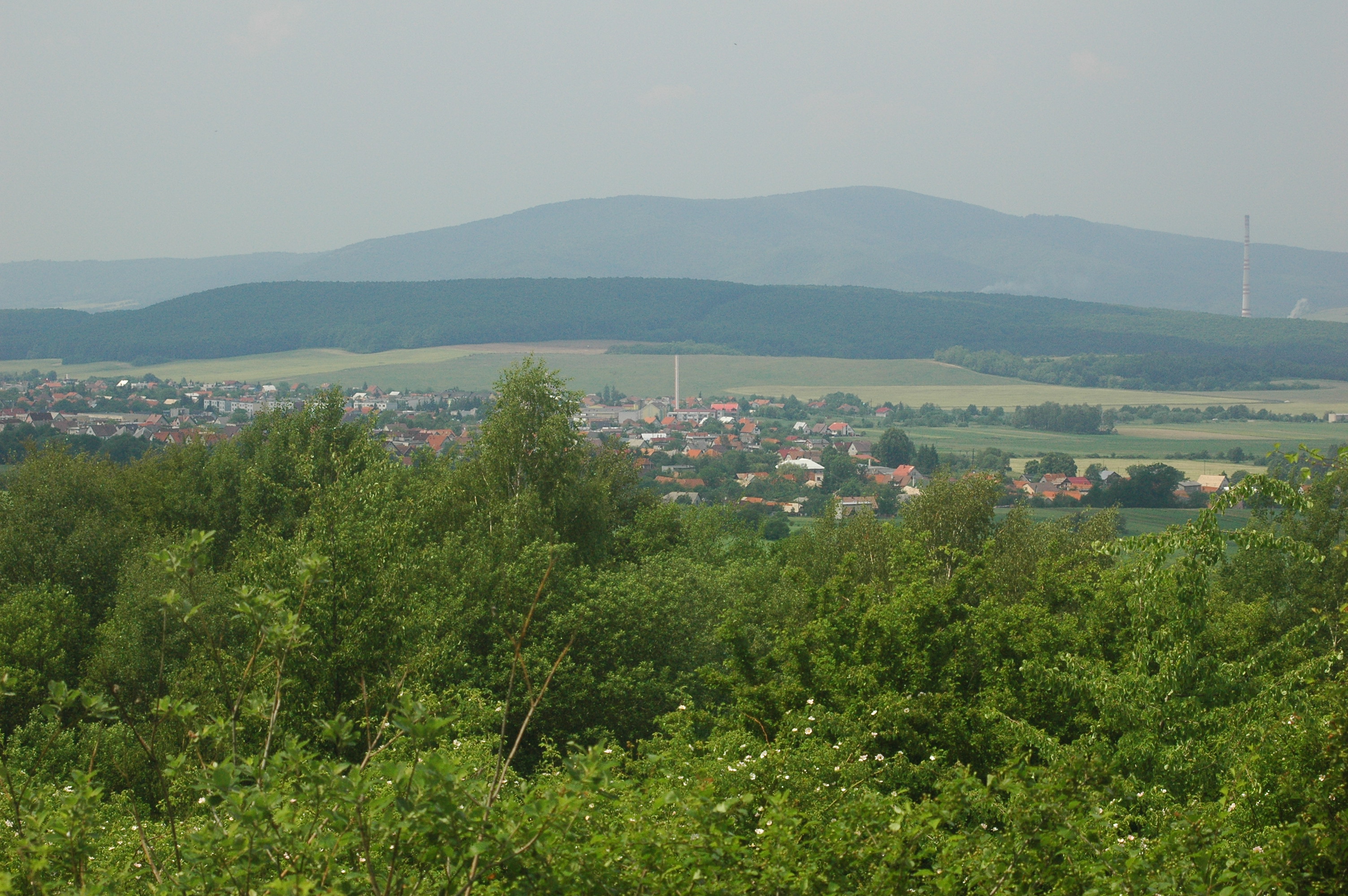
image_caption =Lehota pod Vtáčnikom
symbol =
symbol_type =
country = Slovakia
country_
state =
region = Trenčín
district = Prievidza
municipality =
parent = Horná Nitra
parent_type = Tourism region
river =
location =
elevation = 348
prominence =
lat_d =48 | lat_m =41 | lat_s =43 | lat_NS =N
long_d =18 | long_m =36 | long_s =17 | long_EW =E
highest =
highest_location = | highest_region = | highest_state =
highest_elevation =
highest_lat_d = | highest_lat_m = | highest_lat_s = | highest_lat_NS =
highest_long_d = | highest_long_m = | highest_long_s = | highest_long_EW =
lowest =
lowest_location = | lowest_region = | lowest_state =
lowest_elevation =
lowest_lat_d = | lowest_lat_m = | lowest_lat_s = | lowest_lat_NS =
lowest_long_d = | lowest_long_m = | lowest_long_s = | lowest_long_EW =
length = | length_orientation =
width = | width_orientation =
area = 27.972
area_land =
area_water =
area_urban =
area_metro =
population =3795 | population_date = 31 December 2005
population_urban =
population_metro =
population_density = auto
population_density_urban =
population_density_metro =
established =1362
established_type = First mentioned
date =
government =
government_location = | government_region = | government_state =
government_elevation =
government_lat_d = | government_lat_m = | government_lat_s = | government_lat_NS =
government_long_d = | government_long_m = | government_long_s = | government_long_EW =
mayor =
leader =
timezone =
map_caption = Location of Lehota pod Vtáčnikom in Slovakia
map_background = Slovakia - background map.png
map1 = Trenčín Region - outline map.svg
map1_caption = Location of Lehota pod Vtáčnikom in the Trenčín Region
map1_background = Trenčín Region - background map.png
statistics = [http://www.statistics.sk/mosmis/eng/prvav2.jsp?txtUroven420307&lstObec514136&Okruhzaklad MOŠ/MIS]
website = http://www.lehotapodvtacnikom.sk/
footnotes =Lehota pod Vtáčnikom is a
village andmunicipality inPrievidza District in theTrenčín Region of westernSlovakia .History
In historical records the
village was first mentioned in1362 .Geography
The
municipality lies at analtitude of 397metres and covers anarea of 27.972 km². It has apopulation of about 3795 people.External links
*http://www.statistics.sk/mosmis/eng/run.html


Wikimedia Foundation. 2010.