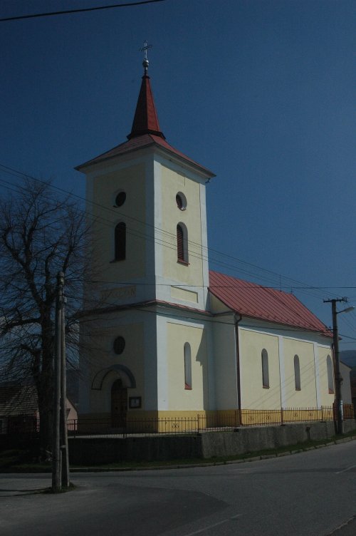
Sebedražie

Sebedražie

Geobox | Settlement
name = Sebedražie
other_name =
category = Village


image_caption =


symbol =
etymology =
official_name =
motto =
nickname =
country = Slovakia
country_

state =
region = Trenčín
district = Prievidza
commune =
municipality =
part =
river =
location =
elevation = 337
lat_d = 48
lat_m = 43
lat_NS = N
long_d = 18
long_m = 38
long_EW = E
coordinates_type = region:SK_type:city
highest =
highest_elevation =
highest_lat_d =
highest_long_d =
lowest =
lowest_elevation =
lowest_lat_d =
lowest_long_d =
area = 8.44
area_round = 2
population = 1726
population_date = 2004-12-31
population_density = auto
established = 1245
established_type = First mentioned
mayor =
timezone =
timezone_DST =
postal_code = 972 05
area_code = +421-46
code = PD
code_type = Car plate
free =


map_background = Slovakia - background map.png map_caption = Location of Sebedražie in Slovakia
map_locator = Slovakia
map1 = Trenčín Region - outline map.svg
map1_size = 208
map1_background = Trenčín Region - background map.png map1_caption = Location of Sebedražie in the Trenčín Region
map1_locator = Trenčín Region
commons =
statistics = [http://www.statistics.sk/mosmis/eng/prvav2.jsp?txtUroven420307&lstObec514373&Okruhzaklad MOŠ/MIS]
website = [http://www.sebedrazie.sk www.sebedrazie.sk]
footnotes =

Sebedražie is a village and municipality in Prievidza District in the Trenčín Region of western Slovakia.

History

In historical records the village was first mentioned in 1245.

Geography

The municipality lies at an altitude of 337 metres and covers an area of 8.439 km². It has a population of about 1,726 people.

External links

*http://www.sebedrazie.sk


Wikimedia Foundation. 2010.

Игры ⚽ Поможем решить контрольную работу

Look at other dictionaries:

  • Sebedražie — Wappen Karte …   Deutsch Wikipedia

  • Sebedražie — (Village) Administration Pays  Slovaquie …   Wikipédia en Français

  • Penzion & Restaurant Kozak — (Sebedražie,Словакия) Категория отеля: 2 звездочный отель Адрес: Zahrady …   Каталог отелей

  • Malinová — Location of Prievidza District in the Trenčín Region Malinová (German: Zeche, Hungarian: Csék) is a village and municipality in Prievidza District in the Trenčín Region of western Slovakia. It lies about 15 km north of the town of Prievidza …   Wikipedia

  • Nitrianske Pravno — Coordinates: 48°52′00″N 18°38′00″E / 48.8666667°N 18.6333333°E / 48.8666667; 18.6333333 …   Wikipedia

  • Trenčín Region — Geobox | Region name = Trenčín other name = category = Region image caption = image caption = symbol = Trencin coat of arms.gif symbol type = Coat of arms etymology = official name = motto = nickname = country = Slovakia country state = region =… …   Wikipedia

  • Prievidza District —   District   Country Slovakia Region …   Wikipedia

  • Nová Lehota — (German: Neuhau) is a village and municipality in Prievidza District in the Trenčín Region of western Slovakia. Since 1976 it has been a part of the municipality of Handlová. History In historical records the village was first mentioned in 1487.… …   Wikipedia

  • List of municipalities and towns in Slovakia — Slovakia This is a comprehensive list of municipalities and towns in Slovakia. For lists of towns and municipalities sorted by Regions see the individual articles on Regions. For an outdated list of towns only in Slovakia see also List of towns… …   Wikipedia

  • Handlová — Coordinates: 48°43′38″N 18°45′43″E / 48.72722°N 18.76194°E / 48.72722; 18.76194 …   Wikipedia

Share the article and excerpts

Direct link
Do a right-click on the link above
and select “Copy Link”