- Mount Baigura
-
Mount Baigura 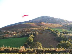
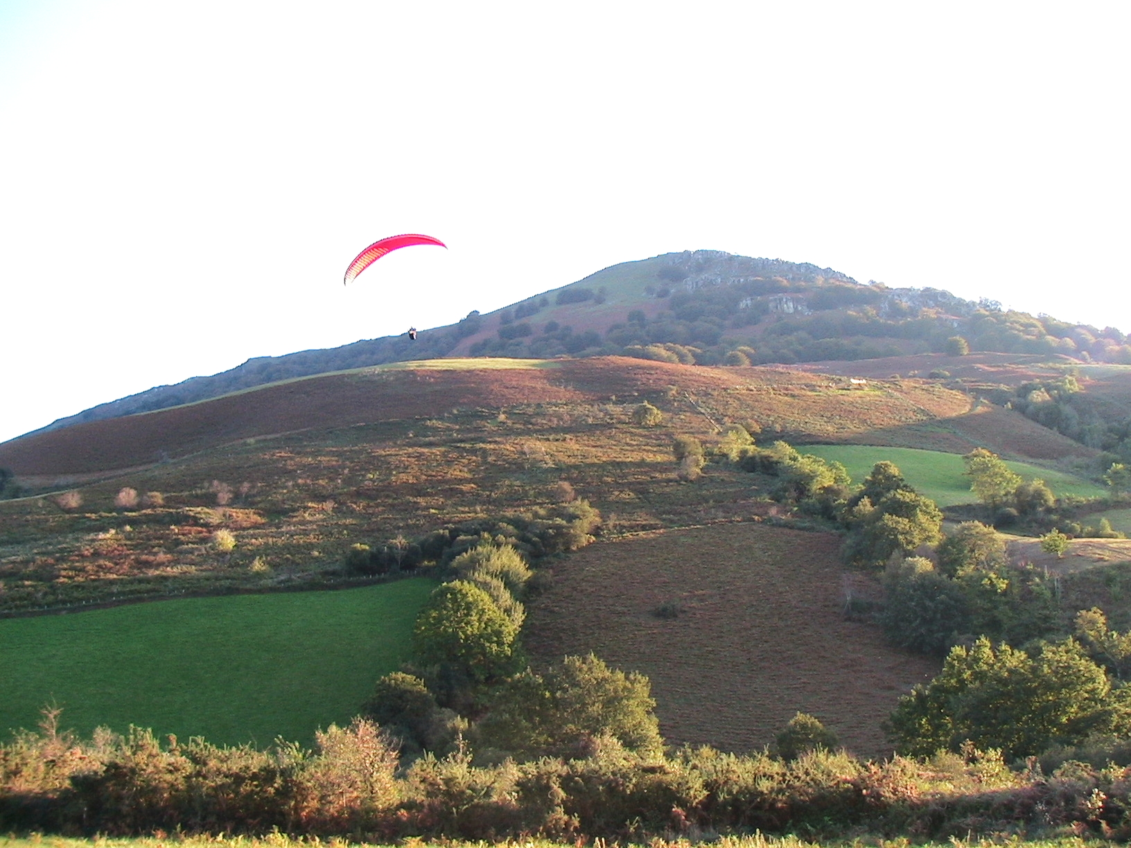
Paragliding from Mount BaiguraElevation 897 m (2,943 ft) Location Pyrénées-Atlantiques,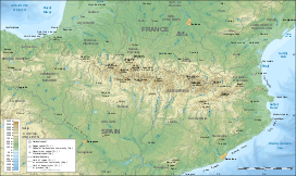
 Mount Baigura
 France
Range Pyrenees Coordinates 43°17′27″N 01°17′34″E / 43.29083°N 1.29278°ECoordinates: 43°17′27″N 01°17′34″E / 43.29083°N 1.29278°E Climbing Easiest route Hike Mount Baigura, Baïgura, Baygoura or Baighoura[1] (el. 897 m./2943 ft.) is a mountain of the inner French Basque Country. Transmitters are set up near its summit.
The leisure center ("base de loisir") at Baigura, on the road from Hélette to Louhossoa (in the commune of Mendionde), organizes paragliding activity on the northern slope of the mountain.
Contents
Name
The name Baigura is related to modern Euskara (Basque) ibar 'valley', ibai 'river' and guren 'limit' and means 'the end of valley'.
Geography
Mount Baigura is the highest point of a small isolated pre-pyrenean massif inside the French Basque Country in the southwest of Aquitaine, between the former provinces of Labourd and Lower Navarre.
The Haltzamendi (818 m) extends the massif toward the south.
Climbing routes
The summit can be reached from Heraitze in Helette, passing by the St. Vincent chapel (Bixintxoko kapera), or from the leisure center.
The Haltzamendi can be reached from Bidarray.
References
Categories:- Mountains of the Pyrenees
- Mountains of France

Wikimedia Foundation. 2010.