Moelfre (hill)

Moelfre (hill)
Moelfre
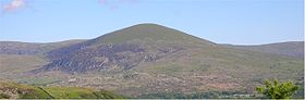
Elevation 589 m (1,932 ft) [1]
Prominence 162 m
Parent peak Y Llethr
Listing Marilyn, Dewey
Location
Location Gwynedd,  Wales
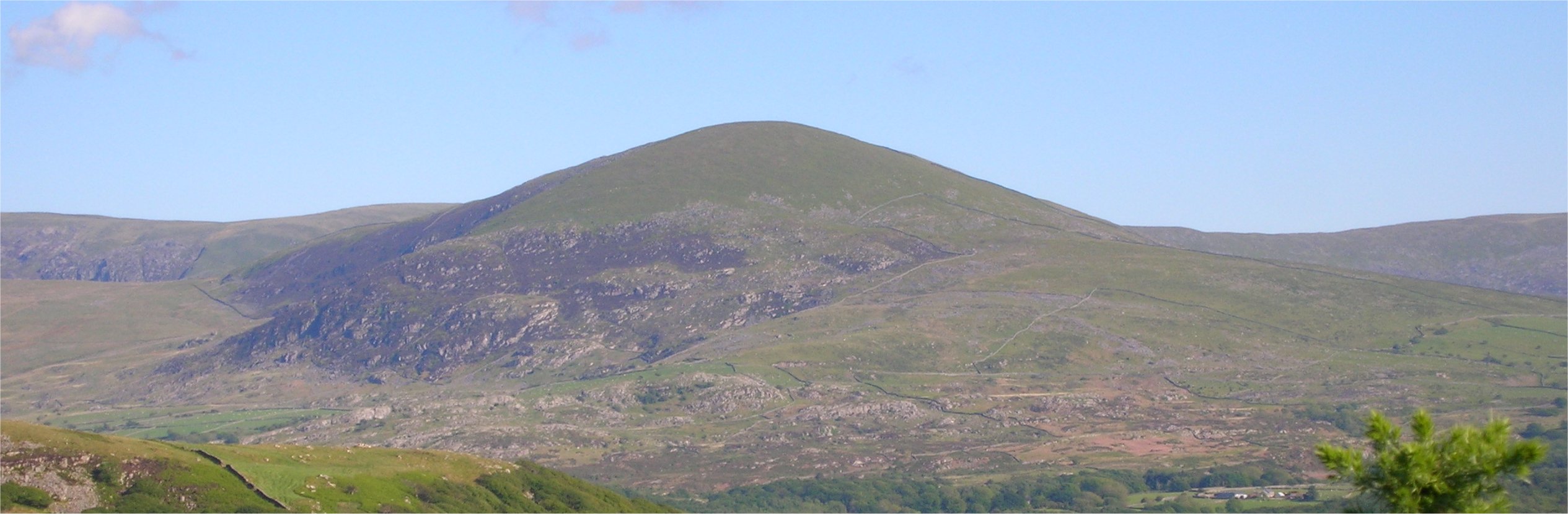
Range Rhinogydd, Snowdonia
Coordinates 52°48′05″N 4°02′21″W / 52.801319°N 4.039236°W / 52.801319; -4.039236Coordinates: 52°48′05″N 4°02′21″W / 52.801319°N 4.039236°W / 52.801319; -4.039236[1]
Topo map OS Landranger 124
OS grid SH 62623 24592

Moelfre is a hill in Wales on the far western edge of the Snowdonia National Park, 3 miles from the village of Dyffryn Ardudwy, 5 miles from the village of Llanbedr and about 10 miles from the town of Harlech. It forms part of the Rhinogydd range. Moelfre reaches a height of 589 metres.

Moelfre is a prominent peak that separates Cwm Nantcol from Ysgethin Valley.[2] Moelfre is also known for a legend of three women who worked on the Sabbath and were turned into standing stones.[3]

References

  1. ^ a b Database of British Hills v11.6 (Apr 2011) http://www.biber.fsnet.co.uk/downloads.html
  2. ^ Gillham, John (2010). "Mountains of Snowdonia". Frances Lincoln Ltd.. p. 297. 
  3. ^ Sykes, Wirt (1881). British goblins: Welsh folk lore, fairy mythology, legends and traditions. J. R. Osgood and company. p. 376. 


Wikimedia Foundation. 2010.

Игры ⚽ Нужно решить контрольную?

Look at other dictionaries:

  • Moelfre — For the Welsh hill, see Moelfre (hill). The Lifeboat station and Seawatch Centre …   Wikipedia

  • Moelfre Uchaf — Elevation 396 m (1,299 ft) Prominence 147 m (482 ft) …   Wikipedia

  • Moelfre Isaf — Elevation 317 m (1,040 ft) Prominence 121 m (397 ft) …   Wikipedia

  • Din Lligwy — House foundations at Din Lligwy hut circle, Anglesey, August 2, 2004 Din Lligwy (or Din Llugwy) hut circle is an ancient village site near the east coast of Anglesey, close to the village of Moelfre, North Wales. Excavations in 1905 1907 produced …   Wikipedia

  • List of works by Clough Williams-Ellis — Contents 1 Source 2 China 2.1 Guangdong 2.2 Liaoning …   Wikipedia

  • Abergele — For|the district in Ethiopia|Abergele (woreda)infobox UK place country = Wales welsh name= constituency welsh assembly= Clwyd West official name= Abergele latitude= 53.28 longitude= 3.58 unitary wales= Conwy lieutenancy wales= Clwyd constituency… …   Wikipedia

  • Downhill cycling — Downhill biking (DH) is a gravity assisted time trial mountain biking event. Riders race against the clock, usually starting at intervals of 30 seconds (seeded from slowest to fastest), on courses which typically take two to five minutes to… …   Wikipedia

  • Mynydd Bodafon — Yr Arwydd Elevation 178 m (584 ft) Prominence 178 m (584 ft) …   Wikipedia

  • List of postcode districts in the United Kingdom — This is a list of postcode districts in the United Kingdom. A group of postcode districts with the same alphabetical prefix is called a postcode area. All, or part, of one or more postcode districts are grouped into post towns.[1] Contents 1 List …   Wikipedia

  • Liste des villes postales du Royaume-Uni — Ceci est une liste des villes postales du Royaume Uni, classées par aire de code postal britannique. Code Postal Villes postales AB Aberdeen, Aberlour, Aboyne, Alford, Ballater, Ballindalloch, Banchory, Banff, Buckie, Ellon, Fraserburgh, Huntly,… …   Wikipédia en Français

Share the article and excerpts

Direct link
Do a right-click on the link above
and select “Copy Link”