- Panton Hill, Victoria
Infobox Australian Place | type = Town
name = Panton Hill
city = Melbourne
state = vic
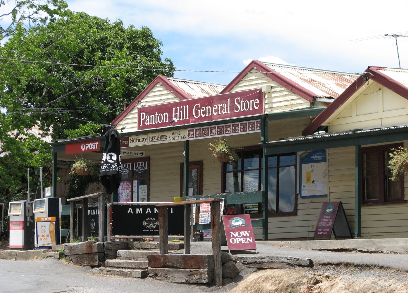
caption = Panton Hill general store
lga = Shire of Nillumbik
postcode = 3759
pop = 1499 (2006) Census 2006 AUS | id = SSC26415 | name = Panton Hill (State Suburb) | accessdate = 2007-09-25 | quick = on]
est =
elevation= 154
stategov = Yan Yean
fedgov = McEwen
dist1 = 31
location1=Melbourne
dist2 = 4.2
location2= Hurstbridge
near-nw = Hurstbridge
near-n = Cottles Bridge
near-ne = Smiths Gully
near-w = Wattle Glen
near-e = Christmas Hills
near-sw = Wattle Glen
near-s = Kangaroo Ground
near-se = Christmas HillsPanton Hill is a town between Hurstbridge and St. Andrews northeast of
Melbourne , the capital city of Victoria,Australia . Its local government area is theShire of Nillumbik . It has a [http://pantonhillhotel.com.au hotel] , store and a football team called the Redbacks. It is also home to a small church, St. Matthews, and several wineries including [http://www.pantonhillwinery.com.au/ Panton Hill Winery] and [http://www.ridgebackwines.com.au/ Ridgeback Wines] .Panton Hill Primary School has an enrolment of approximately 150. The nearest high schools are
Diamond Valley Secondary College andEltham College of Education . Panton Hill also has a local volunteer CFA that services Panton Hill and the surrounding areas.External links
References
Wikimedia Foundation. 2010.