- Malham Tarn Field Studies Centre
-
Coordinates: 54°06′04″N 2°09′50″W / 54.101°N 2.164°W
 Malham Tarn Field Studies Centre
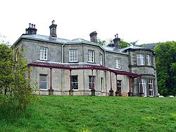
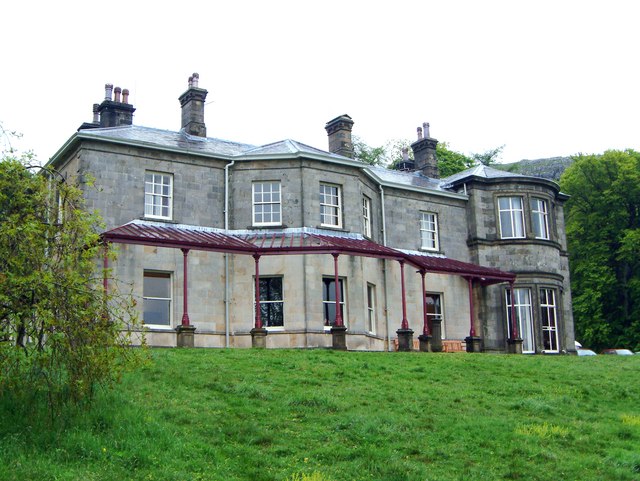
Malham Tarn Field Studies Centre, situated near Malham Tarn in the Yorkshire Dales National Park, North Yorkshire, England, occupies a large Georgian country house, leased from the National Trust. The centre is run by the Field Studies Council and is popular with both geography and biology students, as well as the wider public. Opened in 1947, the Centre celebrated its 60th anniversary in 2007.
Within walking distance of the Centre are famous limestone features including Malham Cove, Gordale Scar and spectacular karst landscapes. The route of the Pennine Way footpath runs very close to the buildings. Nearby habitats include limestone pavement, grazed and ungrazed grassland, woodland and species-rich fen, acid peat pools and stony hill streams. Malham Tarn itself is one of only eight upland alkaline lakes in Europe.
External links
Categories:- Buildings and structures in North Yorkshire
Wikimedia Foundation. 2010.