- Chatenet
-
Chatenet

 ChatenetLocation within Poitou-Charentes region
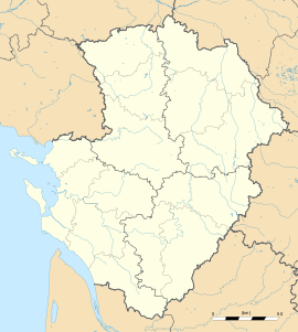 Chatenet
Administration Country France Region Poitou-Charentes Department Charente-Maritime Arrondissement Jonzac Canton Montlieu-la-Garde Intercommunality Haute-Saintonge Mayor Philippe Chailloux
(2008–2014)Statistics Elevation 61–123 m (200–404 ft)
(avg. 85 m/279 ft)Land area1 9.6 km2 (3.7 sq mi) Population2 220 (2008) - Density 23 /km2 (60 /sq mi) INSEE/Postal code 17095/ 17210 1 French Land Register data, which excludes lakes, ponds, glaciers > 1 km² (0.386 sq mi or 247 acres) and river estuaries. 2 Population without double counting: residents of multiple communes (e.g., students and military personnel) only counted once. Coordinates: 45°18′09″N 0°18′19″W / 45.3025°N 0.305277°W
Chatenet is a commune in the Charente-Maritime in the department in the Poitou-Charentes region in southwestern France.
Contents
Geography
Chatenet is a small commune situated between the market town of Montendre and the large village of Chevanceaux. It is principally a farming community; however in recent years tourism has become important. The location of Chatenet in the southern tip of the Charente Maritime provides the area with a warm climate. The Seugne flows north-northwestward through the middle of the commune and forms part of its southern and northern borders.
Population
Historical population of Chatenet 1962 1968 1975 1982 1990 1999 2008 268 275 215 210 195 188 220 See also
References
External links
- Chatenet on the Quid site
- Location of Chatenet on the map of France
- Map and aerial photos:
- Street map: Street map from Mapquest, MapPoint or Google or Yahoo! Maps
- Satellite images: Google or Microsoft Virtual Earth - image now available
Categories:- Communes of Charente-Maritime
- Charente-Maritime geography stubs


Wikimedia Foundation. 2010.