- Chalatenango Department
-
Chalatenango 
[[Image:|100px|Coat of Arms of Chalatenango Department]] Flag Coat of Arms Location 
Statistics Created
(given current status)1855 Capital Chalatenango Area
•%2,017 km²
Ranked 5thPopulation
•(2006)274,878
Ranked 10thISO 3166-2 SV-CHChalatenango is a department of El Salvador, located in the northwest of the country. The capital is the city of Chalatenango. The Chalatenango Department encompasses 2,017 km² and contains more than 220,000 inhabitants. Las Matras Archaeological Ruins contains the relics of prehistoric populations and caves in which rock writing is found. Chalatenango was made a department on February 14, 1855. The "5 de Noviembre" Hydroelectric Dam is found in Chalatenango Department, near the border with Cabañas. The highest point in the country, El Pital with an elevation of 2730.06 m, also is located in Chalatenango Department. During the 1980s, the department was the stronghold of the Popular Forces of Liberation (FPL), one of the two largest groups in the Frente Farabundo Martí Para la Liberacion Nacional (FMLN).
Municipalities
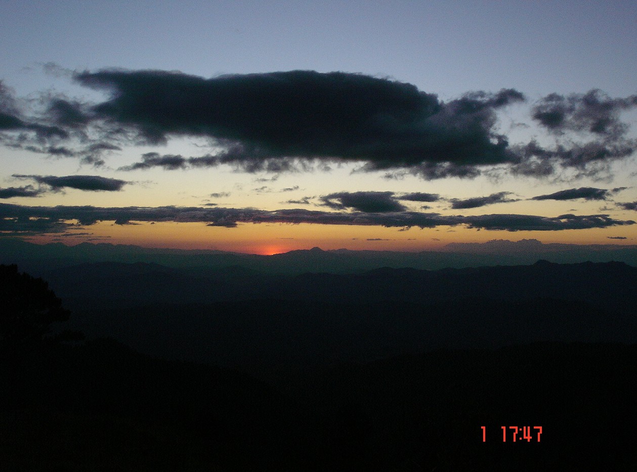
 El Pital mountain
- Agua Caliente
- Arcatao
- Azacualpa
- Chalatenango
- Citalá
- Comalapa
- Concepción Quezaltepeque
- Dulce Nombre de María
- El Carrizal
- El Paraíso
- La Laguna
- La Palma
- La Reina
- Las Vueltas
- Nombre de Jesús
- Nueva Concepción
- Nueva Trinidad
- Ojos de Agua
- Potonico
- San Antonio de la Cruz
- San Antonio Los Ranchos
- San Fernando
- San Francisco Lempa
- San Francisco Morazán
- San Ignacio
- San Isidro Labrador
- San José Cancasque
- San José Las Flores
- San Luis del Carmen
- San Miguel de Mercedes
- San Rafael
- Santa Rita
- Tejutla
Agriculture
The most cultivated agricultural products are the basic grains, henequen (a type of agave), coffee, fruits, orchard plants, and vegetables. There is the upbringing of horses, and cattle, and the agriculture of wilderness. Moreover, plaster, gold, lime, clay lead, silver, and zinc can be found there.
Departments of El Salvador Ahuachapán · Cabañas · Chalatenango · Cuscatlán · La Libertad · La Paz · La Unión · Morazán · San Miguel · San Salvador · San Vicente · Santa Ana · Sonsonate · Usulután
 Categories:
- Chalatenango Department
- Departments of El Salvador
- States and territories established in 1855
- El Salvador geography stubs


Wikimedia Foundation. 2010.