- Clipston, Nottinghamshire
-
Clipston (otherwise Clipston on the Wolds to distinguish it from Clipstone) is a small village and civil parish in the English county of Nottinghamshire.
It is located between Cotgrave and Normanton-on-the-Wolds and forms part of the borough of Rushcliffe.
Coordinates: 52°54′02″N 1°03′27″W / 52.90060°N 1.05743°W
Clipston on the Wolds 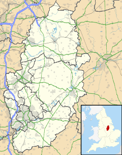
 Clipston on the Wolds
Clipston on the Wolds shown within NottinghamshirePopulation 50 OS grid reference SK 63535 34110 District Rushcliffe Shire county Nottinghamshire Region East Midlands Country England Sovereign state United Kingdom Post town NOTTINGHAM Postcode district NG12 Dialling code 0115 Police Nottinghamshire Fire Nottinghamshire Ambulance East Midlands EU Parliament East Midlands UK Parliament Rushcliffe List of places: UK • England • Nottinghamshire Contents
Clipston on the Wolds
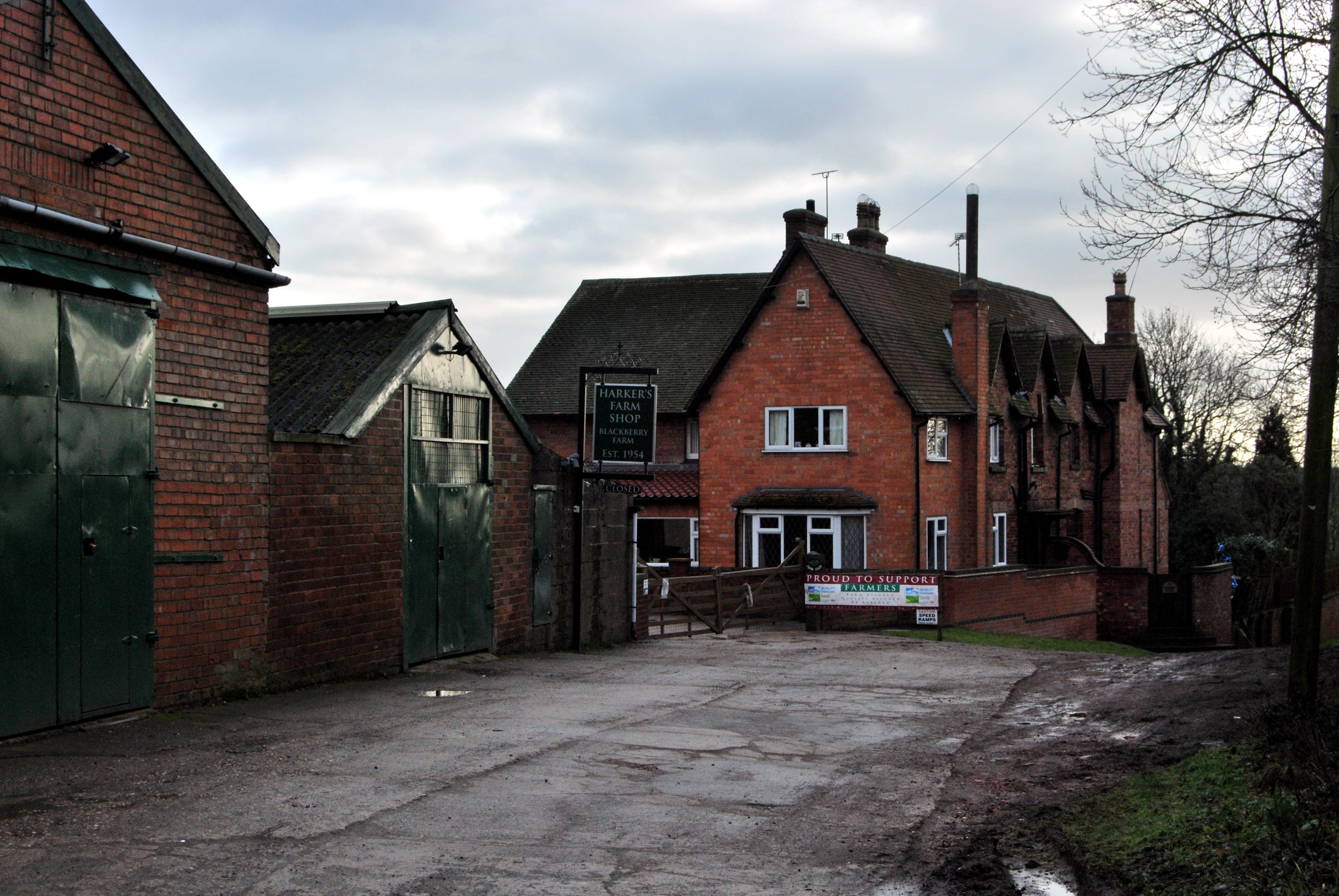
 Clipston Blackberry Farm
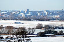 Nottingham as seen from Clipston.JPG
 Hoe Hill.JPG
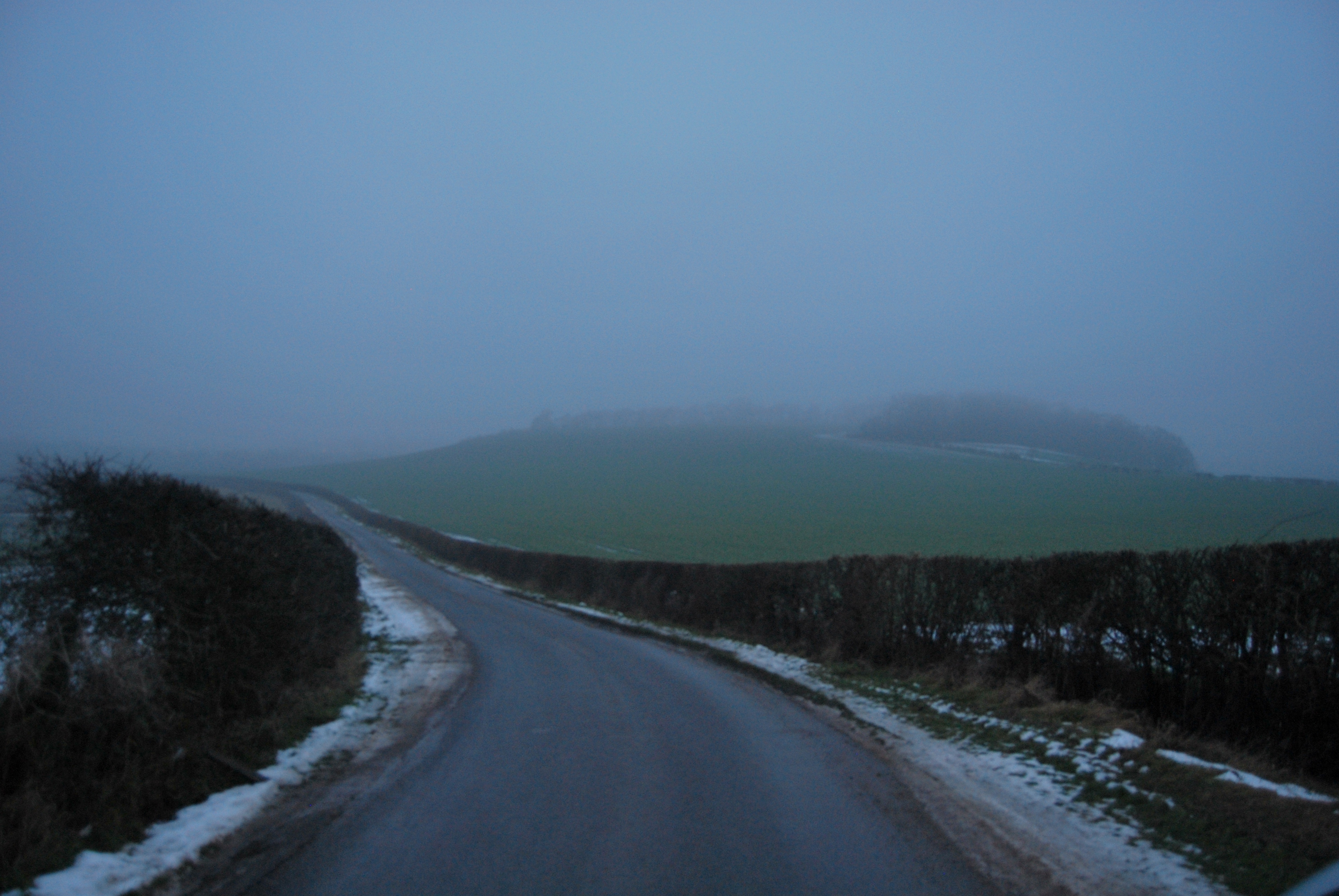
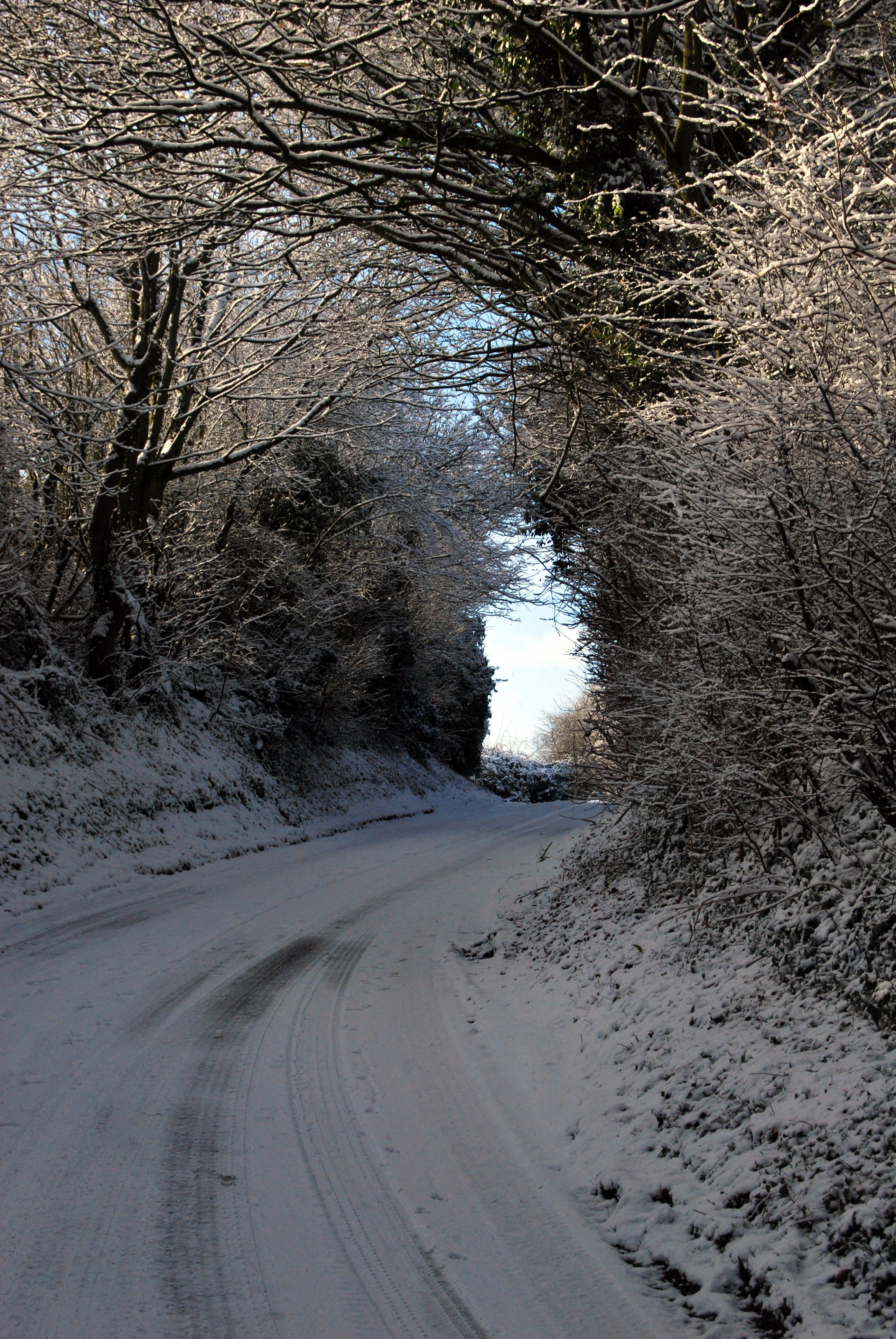
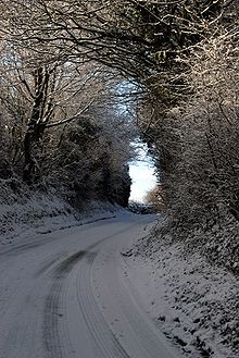 Clipston Lane.JPG
Clipston stands on the northernmost edge of the (Lincolnshire) Wolds in Nottinghamshire. The area enjoys, from an elevation of around 79 mts, panoramic views of the Trent valley and the East and South side of the city of Nottingham, some 50 mts lower. Nearby to the west is the striking feature of Hoe Hill with its horseshoe shaped wood. The village is approached by narrow roads that offer views of very pretty and attractive rural countryside. It has a population of just 50 and stands in 951 acres (3.85 km2). [(http://www.rushcliffe.gov.uk/doc.asp?cat=8883)]
Early Origins
Cliston’ 1198 (Pipe Rolls, Record Commission), Clipstun’ 1235, (Book of Fees, 1922–31 ), Clipeston 1287 (Assize Rolls), Clippeston 1325 (Calender of Patent Rolls), Clipeston juxta Plumtre, Clibston juxta Plumtre 1278 (Assize Rolls ), Clipston juxta Plumtre 1315 (Feets of Fines 1196-1760) Clipston super le Hill 1327 (Nottinghamshire Subsidies 1895), Clipston super le Hull 1332 (Nottinghamshire Subsidies 1895), Clipston othe hill justa Plumptre 1400 (Feets of Fines 1196-1760) and Clipston super montem 1516 (Recovery Rolls). [The Place Names of Nottinghamshire, Glover,Mawer, Stenton 1979]
History
Though there is little evidence from place names recorded in the area before the 9th century there are ill recorded discoveries of burial mounds near the Fosse Way not far away near Cotgrave. The area to each side of the Trent was settled by the Angles as they made their way up the river to the heartlands and the hills that form the edge of the Wolds would have appeared a defendable spot but difficult to farm. At the time of these migrations the wide Trent valley was mainly Triassic clay and likely covered heavily in vegetation whilst the Wolds are Boulder clay, difficult to manage and drain. Nevertheless there is a recorded settlement as early as the late 12th century and nearby Plumtree and Normanton, like Clipston, are mentioned in the Domesday Book or before.
The English suffix “–tun”, like “-by”, was usually preceded by a Danish personal name. “Klypper’s farm”, v. Tun appears in the Place Names of Northamptonshire 1933. The name of the very nearby “Normanton” means Norwegian’s village [Place Names of Nottinghamshire, Gover, Mawer and Stenton (intro pxx)] implies that there were only a few Norsemen amongst predominantly Scandinavian settlements. Nevertheless there may well have been an Anglo Saxon settlement at Clipston that was subsequently allocated to a Danish man of the Scandinavian army that colonised Nottinghamshire in the 9th century.
Present day
Clipston is truly a rural village with no facilities other than a post box. Farms in and around the village include Glebe Farm, Old Hall Farm, Manor Farm, Blackberry Farm and Wolds Farm towards Plumtree. Blackberry Farm houses Harker’s Farm shop and produces quality beef and lamb and other produce for sale from this outlet. [1]. Also here is a viewing area where children, especially, are invited to meet lambs, goats, Highland Cattle calves, guinea pigs, rabbits etc. From here there are well kept and signed walks to, and through, the large tree plantations to the south and across the Wolds.
Other buildings in the village are private dwellings with some local barns having recently been converted to this usage. There is no church, the parish church being the ancient (possibly oldest in Nottinghamshire) St Marys, parish church of Plumtree a mile to the west. An informative and very interesting history of St Marys [2] tells of a 44’0 x 24’0 “tin tabernacle” erected as a “chapel of ease” around 1898 but, as indicated by the end of records, removed in 1942. The timing (at the height of WW2) may have led to persistent rumours of a bunker existing in the vicinity of Glebe Farm where St John’s church is reported to have stood. The spot would have provided a clear and commanding view over Nottingham and, as importantly, the airfield which is now Tollerton airport. There is no obvious sign today. Interestingly the road “Church Gate” in the village dates not from the 19th century but is recorded in documents in the possession of Earl Manvers at Thoresby House written around 1585. (Place Names of Nottinghamshire, Gover, Mawer, Stenton). The Manvers family were the local landowners as noted in [Cotgrave]. Church Gate, however, does eventually lead though Normanton on the Wolds to the Church of St Mary’s in Plumtree.
External links
- Map sources for Clipston, Nottinghamshire
- http://southwellchurches.nottingham.ac.uk/plumtree/hhistory.php
- http://www.harkersfarmshop.co.uk
Categories:- Villages in Nottinghamshire


Wikimedia Foundation. 2010.