- Liverpool Plains Shire Council
Infobox Australian Place | type = lga
name = Liverpool Plains Shire
state = nsw
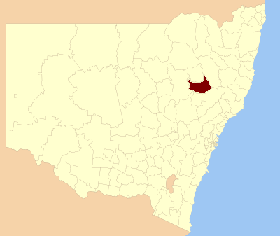
caption = Location inNew South Wales
pop = 7,910
density = 1.55
area = 5086
est =
seat = Quirindi (60 Station Street
mayor = Ian Lobsey
region = North West Slopes
url = http://lpsc.local-e.nsw.gov.au
stategov = Upper Hunter, Tamworth
fedgov = Gwydir
near-nw = Gunnedah
near-n = Gunnedah
near-ne = Tamworth Regional
near-e = Tamworth Regional
near-w = Warrumbungle
near-sw = Warrumbungle
near-s = Upper Hunter
near-se = Upper HunterThe Liverpool Plains is a geographical area and Local Government Area (LGA) in north-westernNew South Wales .The Shire was formed in 2004 by the amalgamation of Quirindi Shire, substantial parts of Parry (Split with Tamworth Regional Council) and Murrurundi Shires, and small parts of Gunnedah Shire.
Demographics
According to the [http://www.abs.gov.au Australian Bureau Statistics] [cite web
publisher =Australian Bureau of Statistics
title=Regional Population Growth, Australia, 2005-06 (catalogue no.: 3218.0)
url = http://abs.gov.au
accessdate = 2007-03-12 ] , there:- were 7,877 people as at 30 June 2006, the 109th largest Local Government Area in New South Wales. It was equal to 0.1% of the New South Wales population of 6,827,694
- was an increase of 16 people over the year to 30 June 2006, the 123rd largest population growth in a Local Government Area in New South Wales. It was equal to less than 0.1% of the 58,753 increase in the population of New South Wales
- was, in percentage terms, an increase of 0.2% in the number of people over the year to 30 June 2006, the 122nd fastest growth in population of a Local Government Area in New South Wales. In New South Wales the population grew by 0.9%
- was a fall in population over the 10 years to 30 June 2006 of 161 people or 2.0% (0.2% in annual average terms). In New South Wales the population grew by 622,966 or 10% (1.0% in annual average terms) over the same period.
Main towns
The largest town within the LGA is Quirindi. Other towns include Werris Creek, Wallabadah, Willow Tree and Curlewis.
Geography
The Liverpool Plains have a generally flat to undulating terrain formed from the remnants of old
volcano es such as that of theLiverpool Ranges to the southwest. To the south and east, it merges into the higher and cooler Northern Tablelands.The
Liverpool Plains is generally regarded as the richest agricultural region in Australia owing to its rich black soils, which originally supported a mixedgrassland vegetation containing both annual and perennial grasses, which early in the region's history were used to feedcattle andsheep .Wheat andcotton are the chief crops, although production fluctuates wildly according to rainfall andsoil erosion is a major problem occurring both afterdrought s andflood s. The climate is hot in summer, mild in winter, and of moderate rainfall. The average is generally around 635 millimetres (25 inches) with a slight summer maximum, but is quite erratic and can vary from 1,150 millimetres (45 inches) in very wet years to as little as 370 millimetres (15 inches). Temperatures in summer frequently exceed 35°C (95°F) and make cropping without irrigation risky without sophisticated meteorological forecasting techniques.The largest town in the geographical area is Gunnedah, which actually lies outside the LGA.
References
Wikimedia Foundation. 2010.