- St. Jones River
Geobox River
name = St. Jones River
native_name =
other_name =
other_name1 =
image_size = 280
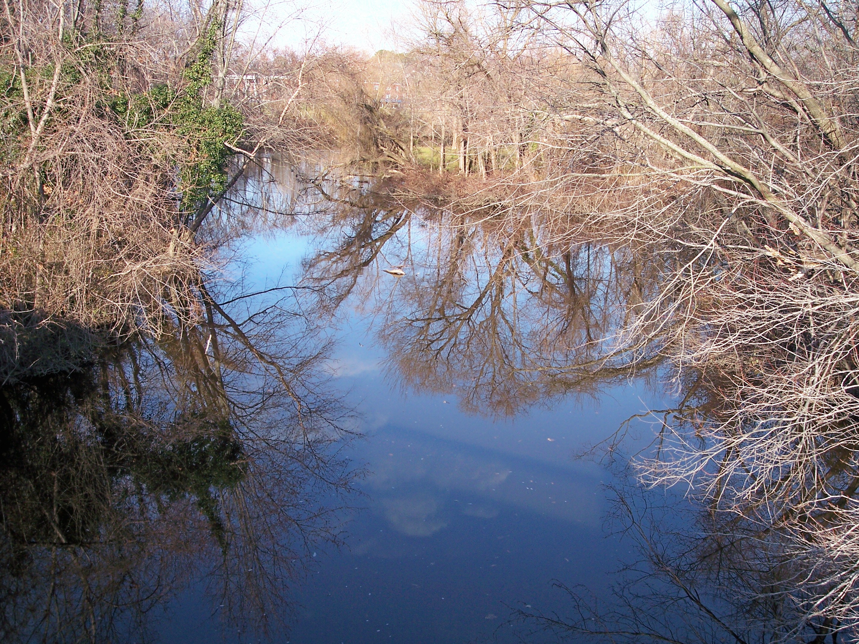
image_caption = The St. Jones River in Dover in 2006
image_first =
country = United States
country1 =
state = Delaware
state1 =
region =
region1 =
city =
city1 =
length =
length_imperial = 10.5
length_note = [cite web |url= http://nerrs.noaa.gov/Delaware/St.JonesRiver.html | title= Delaware National Estuarine Research Reserve: St. Jones River | author= National Estuarine Research Reserve System | authorlink = National Estuarine Research Reserve | year = 2006 | month = December | accessdate=2007-01-30]
watershed =
watershed_imperial = 36
watershed_note = [cite web |url= http://www.epa.gov/reg3wapd/tmdl/de_tmdl/StJonesRv/index.html |pages = [http://www.epa.gov/reg3wapd/tmdl/de_tmdl/StJonesRv/StJonesRv_DR.pdf Decision Rationale.] | title= Total Maximum Daily Loads (TMDLs) for Bacteria and Nutrient Impairments on the St. Jones River Watershed, Delaware. | author= United States Environmental Protection Agency | authorlink = United States Environmental Protection Agency | date=2006-12-14 | accessdate=2007-01-30]
discharge_location =
discharge_average =
discharge_average_imperial =
discharge_max =
discharge_max_imperial =
discharge_min =
discharge_min_imperial =
discharge1_location =
discharge1_average =
discharge1_average_imperial =
source_name =Silver Lake
source_location = Dover
source_location_note =
source_region =
source_country =
source_country1 =
source_lat_d = 39
source_lat_m = 10
source_lat_s = 06
source_lat_NS = N
source_long_d = 75
source_long_m = 31
source_long_s = 18
source_long_EW = W
source_coordinates_note =cite web |url=Gnis3|217883 |title=GNIS entry for St. Jones River (Feature ID #217883)|author=Geographic Names Information System|authorlink=Geographic Names Information System|accessdate=2007-01-30]
source_elevation =
source_elevation_imperial = 13
source_elevation_note = [cite web |url=Gnis3|214647 |title=GNIS entry for Silver Lake (Feature ID #214647)|author=Geographic Names Information System|authorlink=Geographic Names Information System|accessdate=2007-01-30]
source_length =
source_length_imperial =
source1_name =
source_meet =
mouth_name = Delaware Bay
mouth_location = Bowers
mouth_location_note =
mouth_country =
mouth_region =
mouth_country1 =
mouth_elevation =
mouth_elevation_imperial = 0
mouth_elevation_note =
mouth_lat_d = 39
mouth_lat_m = 03
mouth_lat_s = 57
mouth_lat_NS = N
mouth_long_d = 75
mouth_long_m = 24
mouth_long_s = 03
mouth_long_EW = W
mouth_coordinates_note =
tributary_left =
tributary_left1 =
tributary_right =
tributary_right1 =
map_size =
map_caption =
map_first =The St. Jones River is a
river flowing toDelaware Bay in centralDelaware in theUnited States . It is 10.5 mi (17 km) long and drains an area of 36 square miles (93 km²) on theAtlantic Coastal Plain . The river is believed to have been named either for Robert Jones, an early European property owner in the region, or for "St. Jone", the Welsh spelling of St. John.The St. Jones River flows for its entire length in east-central Kent County. According to the
Geographic Names Information System , the river is considered to begin at the dam of Silver Lake in the city of Dover; Silver Lake is fed by streams known as Fork Branch, [cite web |url=Gnis3|213972 |title=GNIS entry for Fork Branch (Feature ID #213972)|author=Geographic Names Information System|authorlink=Geographic Names Information System|accessdate=2007-01-30] Penrose Branch, [cite web |url=Gnis3|214437 |title=GNIS entry for Penrose Branch (Feature ID #214437)|author=Geographic Names Information System|authorlink=Geographic Names Information System|accessdate=2007-01-30] and Maidstone Branch. [cite web |url=Gnis3|214266 |title=GNIS entry for Maidstone Branch (Feature ID #214266)|author=Geographic Names Information System|authorlink=Geographic Names Information System|accessdate=2007-01-30] From Silver Lake, the St. Jones River flows generally southeastwardly, along the east side of downtown Dover and past theDelaware State Capitol and theDover Air Force Base to Bowers, where it flows into Delaware Bay, approximately 0.5 mi (1 km) north of the mouth of theMurderkill River . [DeLorme (2004). "Maryland Delaware Atlas & Gazetteer". p.52, p.62. Yarmouth, Maine: DeLorme. ISBN 0-89933-279-X.]The lower course of the river southeast of Dover is surrounded by brackish marshes and
salt marsh es, open water habitats, andwetlands . A portion of the lower river, along with nearby Blackbird Creek, have received federal protection as theDelaware National Estuarine Research Reserve , part of theNational Estuarine Research Reserve system. [cite web |url= http://nerrs.noaa.gov/Delaware/welcome.html | title= Delaware National Estuarine Research Reserve | author= National Estuarine Research Reserve System | authorlink = National Estuarine Research Reserve | year = 2006 | month = December | accessdate=2007-01-30]Variant names
The
United States Board on Geographic Names settled on "St. Jones River" as the stream's name in 1894. According to theGeographic Names Information System , it has also been known historically as:
*Jones Creek
*Joness Creek
*Kishlen
*Saint Jones Creek
*Warge Kijhlen
*Wulfs Creek
*Wulfscreekee also
*
List of Delaware rivers References
External links
* [http://www.destateparks.com/greenway/trailguides/StJones/sj.htm The St. Jones River Trail]
Wikimedia Foundation. 2010.