- Obukhiv
-
Obukhiv
Обухів— Town — 
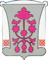
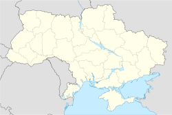
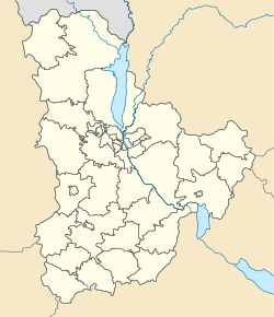
Coat of armsCoordinates: 50°7′48″N 30°39′24″E / 50.13°N 30.65667°ECoordinates: 50°7′48″N 30°39′24″E / 50.13°N 30.65667°E Country Ukraine Oblast Kiev Oblast Raion Obukhiv Raion Founded 1362 Area - Total 24.2 km2 (9.3 sq mi) Population - Total 32,737 - Density 1,352.8/km2 (3,503.7/sq mi) Time zone EET (UTC+2) - Summer (DST) EEST (UTC+3) Postal code 08700—08705 Area code(s) +380 4572 Obukhiv (Ukrainian: Обухів, Russian: Обухов) is a city in Kiev Oblast (province) of Ukraine. Population is 32,776 (2001).
Obukhiv is an administrative center of the Obukhiv Raion. To its municipality directly subordinated two other nearby villages: Lendy and Tatsenky. The city has a Holodomor memorial and in 2009 the municipal administration demounted the Lenin monument which was numerously vandalized.
Gallery
Resources
- myobukhiv.com - information about local government and businesses in Obukhiv (in Russian and Ukrainian)
Administrative divisions of Kiev Oblast, Ukraine Administrative center: Kiev Raions Baryshivka · Bila Tserkva · Bohuslav · Boryspil · Borodianka · Brovary · Fastiv · Ivankiv · Kaharlyk · Kiev-Sviatoshyn · Makariv · Myronivka · Obukhiv · Pereiaslav-Khmelnytskyi · Poliske · Rokytne · Skvyra · Stavysche · Tarascha · Tetiiv · Vasylkiv · Volodarka · Vyshhorod · Yahotyn · Zghurivka

Cities Urban-type
settlementsBaryshivka · Borodianka · Borova · Hostomel · Ivankiv · Kotsiubynske · Krasiatychi · Makariv · Rokytne · Stavysche · Volodarka · Zghurivka · moreVillages 1 Administratively separate from the surrounding Kiev Oblast. 2 Geographically located outside the borders of Kiev Oblast. Categories:- Cities in Ukraine
- Kiev Oblast
- Kiev Oblast geography stubs
Wikimedia Foundation. 2010.


