- Mount Kerinci
-
Mount Kerinci 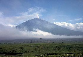
Kerinci in 1987Elevation 3,805 m (12,484 ft) Prominence 3,805 m (12,484 ft) Ranked 33rd Listing Ultra
RibuLocation Sumatra, Indonesia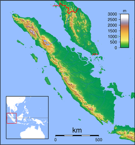
 Mount Kerinci
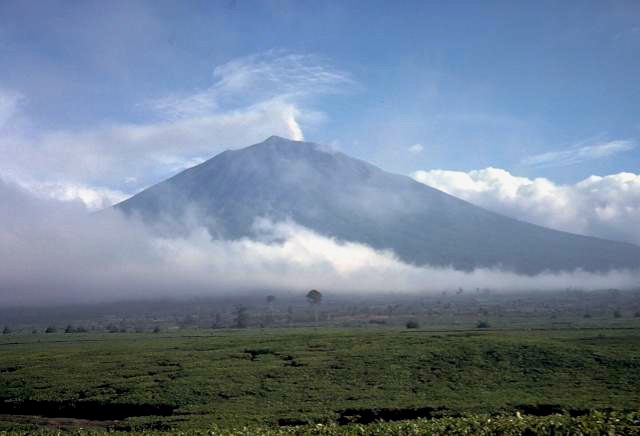
Range Barisan Mountains Coordinates 1°41′48″S 101°15′56″E / 1.69667°S 101.26556°ECoordinates: 1°41′48″S 101°15′56″E / 1.69667°S 101.26556°E Geology Type Stratovolcano Volcanic arc/belt Pacific Ring of Fire Last eruption 2009 Climbing First ascent 1877 by von Hasselt and Veth Mount Kerinci (also spelled Kerintji, among several other ways, and referred to as Gunung Kerinci, Gadang, Berapi Kurinci, Kerinchi, Korinci, or Peak of Indrapura as well) is the highest volcano in Indonesia, and the highest peak on the island of Sumatra. It is surrounded by the lush forest of Kerinci Seblat National Park, home to the endangered species of Sumatran Tiger and Sumatran Rhinoceros.
Contents
Geography
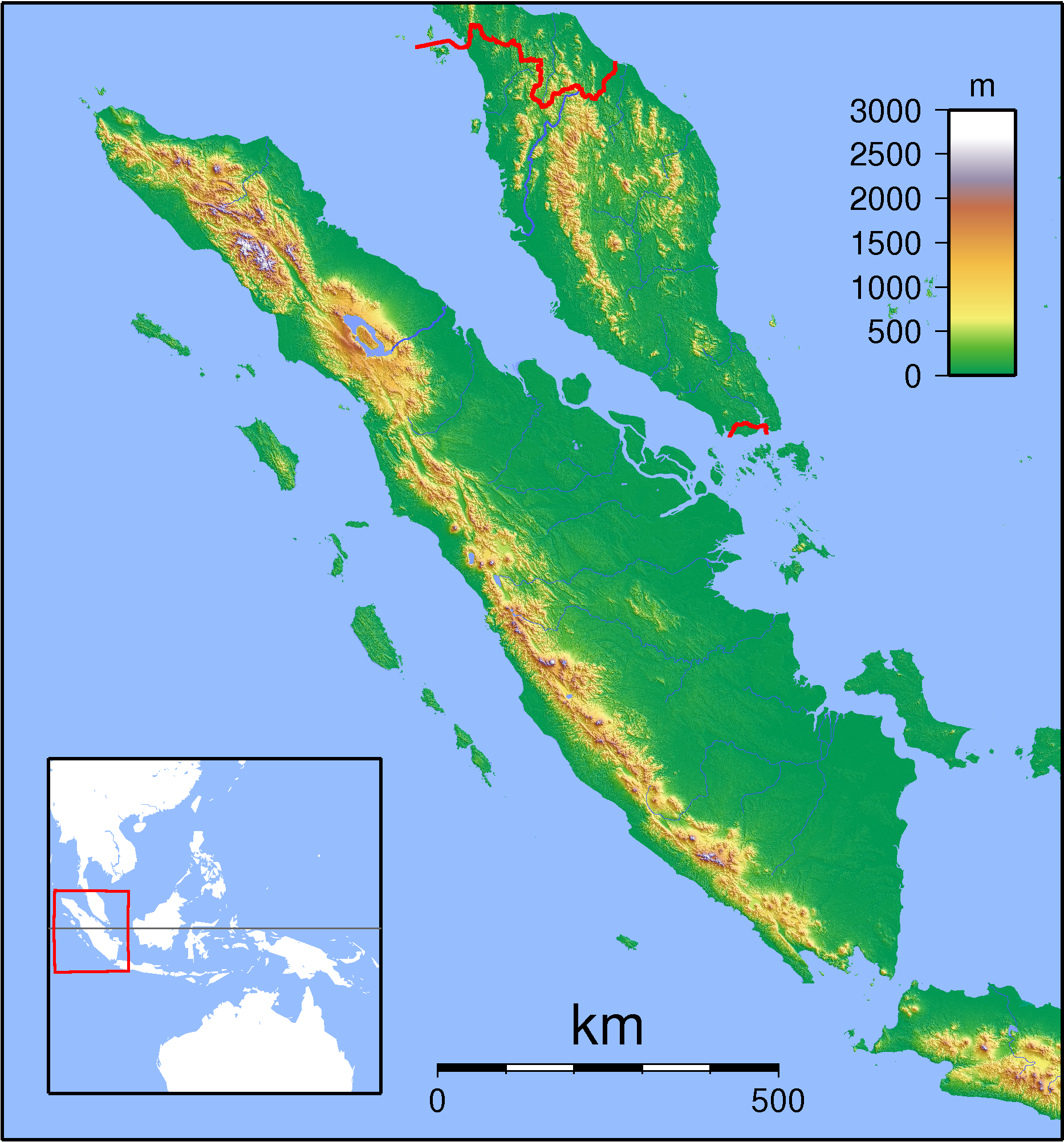
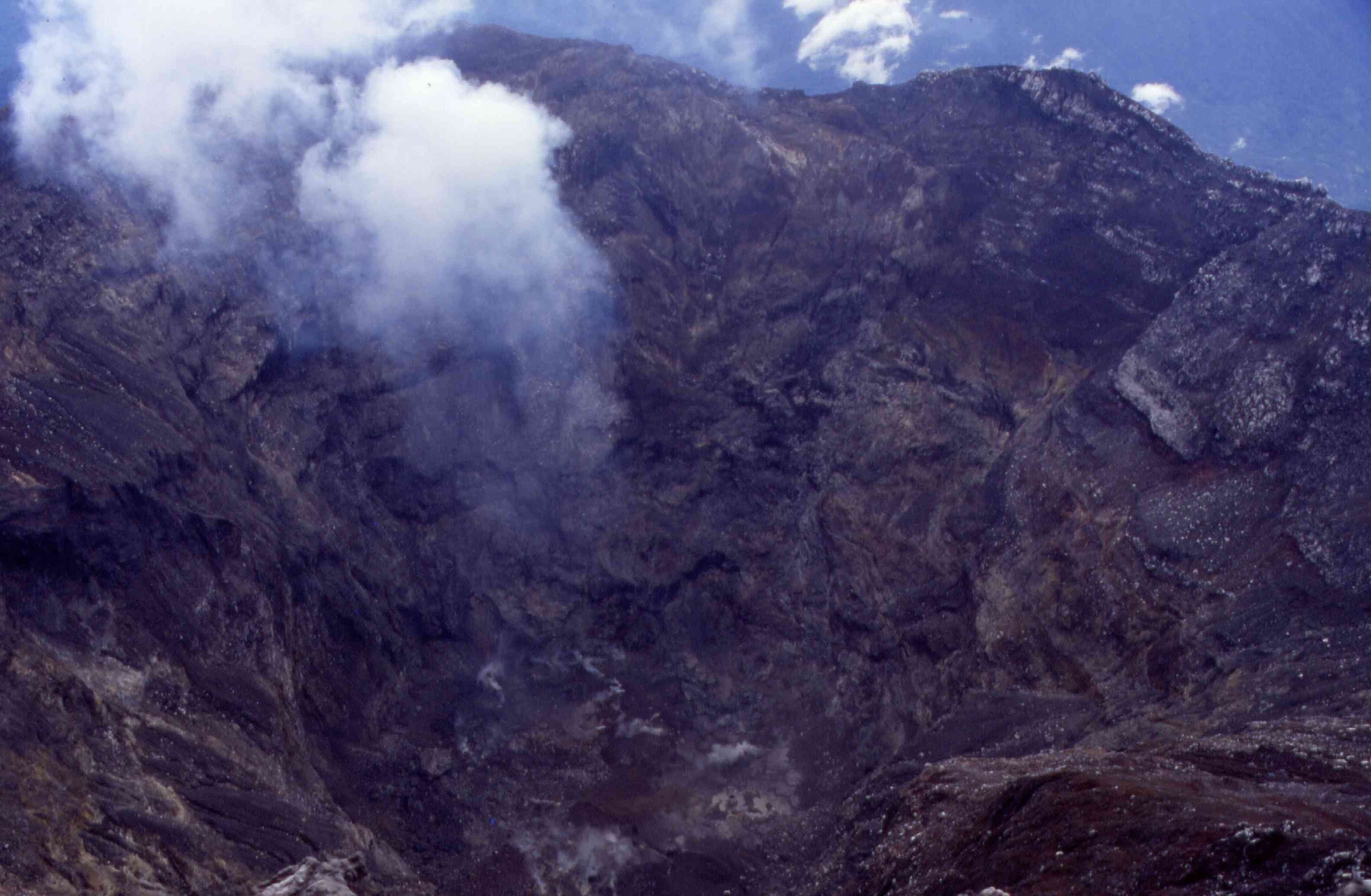
Kerinci is located in Province of Jambi, the west central part of the island, in the Barisan Mountains, near the west coast, and is about 130 km (81 mi) south of Padang. It is the most prominent feature of the terrain of Kerinci Seblat National Park, with pine-forested slopes rising 2,400-3,300 metres above the surrounding basin, and a cone 13 km (8 mi) wide and 25 km (16 mi) long at the base, elongated in the north-south direction. At the summit there is a deep 600 m (1,969 ft) wide crater, often partially filled by a small crater lake on the northeast side of the crater floor.
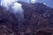 View into the Kerinci crater.
Volcanic activity
Kerinci is more active than most Indonesian volcanoes, with nearly annual phreatic eruptions. Kerinci last erupted in 2004, and continues to spew clouds of sulphurous smoke, with plumes reaching as high as 1,000 m (3,281 ft) above the summit. While there is farmland in the area, and a tea plantation on its southern slope, Kerinci, being located in an Indonesian national park, and perhaps out of respect for its frequent growlings as well, sits in an area that is sparsely populated by Indonesian population-density standards.
Climbing
Kerinci can be climbed from the village of Kersik Tuo, 6 or 7 hours away from Padang by car or bus. The climb and descent normally takes 3 days and 2 nights, if you choose to go to the summit. You may also choose to go up only till Camp 2 or 2.5, skipping the summit attempt which is a night climb; and take 2 days and 1 night instead.
Kerinci's terrain consists of thick jungle, it can get muddy and slippery even if there are only mild drizzles, which may occur occasionally even during the dry season. To climb the volcano you need a guide, for there have been rare cases of people disappearing after attempting to trek alone.
Lakes
The mountain has 15 lakes which the biggest are Kerinci Lake and Gunung Tujuh Lake. The 4,200-hectare of Kerinci Lake lies at a height of 650 meters, is the host of annual July Kerinci Lake Festival. While Gunung Tujuh Lake means Seven Mountains Lake which there are 7 peaks surrounding the lake. It is also the highest lake in Southeast Asia at 1,996 meters.[1]
Kecik Wok Gedang Wok
Based on research in 1973, 'Kecik Wok Gedang Wok' people is recognized as the first tribe to settle at a plateau around Mount Kerinci 10,000 years ago. It was older than Indian Inca civilization. Today, Kecik Wong Gedang Wok people is so limited due to many of them has assimilated with Proto-Malay tribe which come later. There are around of 135 dialects uses only along the valley makes ethnography analysis is difficult to conduct.[2]
See also
References
External links
Categories:- Stratovolcanoes
- Subduction volcanoes
- Volcanoes of Sumatra
- Crater lakes
- Active volcanoes of Indonesia
Wikimedia Foundation. 2010.