- Malè
-
For other uses, see Malé.
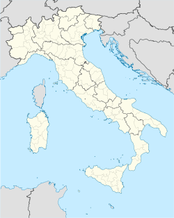
Malé — Comune — Comune di Malé Location of Malé in Italy Coordinates: 46°21′N 10°54′E / 46.35°N 10.9°ECoordinates: 46°21′N 10°54′E / 46.35°N 10.9°E Country Italy Region Trentino-Alto Adige/Südtirol Province Trentino (TN) Frazioni Magras, Arnago, Bolentina, Montes, Pondasio, Molini Government - Mayor Bruno Paganini (Civic Party) Area - Total 26.2 km2 (10.1 sq mi) Elevation 737 m (2,418 ft) Population (Dec. 2004) - Total 2,142 - Density 81.8/km2 (211.7/sq mi) Demonym Maletani or Maledi Time zone CET (UTC+1) - Summer (DST) CEST (UTC+2) Postal code 38027 Dialing code 0463 Website Official website Malé (German: Maleit or Freienthurn) is a comune (municipality) in Trentino in the northern Italian region Trentino-Alto Adige/Südtirol, located about 35 km northwest of the provincial capital Trento. As of 31 December 2004, it had a population of 2,142 and an area of 26.2 km².[1]
The municipality of Malé contains the frazioni (subdivisions, mainly villages and hamlets) Magras, Arnago, Bolentina, Montes, Pondasio and Molini.
Malé borders the following municipalities: Rabbi, Terzolas, Croviana and Monclassico.
The economy of Malé is based mainly on tourism, handcraft (typically wooden products), and farming (typically producing apples, cheese and cold cuts). The Trento-Malè-Marilleva railway connects the comune to Trento.
Near Malè is the Stelvio National Park, the biggest natural National Park in Italy and the Brenta group a UNESCO World heritage site.
From 15th to 22 June 2008 Malè was the venue of the Mountain bike trials competitions of the UCI Mountain Bike & Trials World Championships "Val di Sole 2008". The sections were set up (for the first time in the history of the Worlds) in the town squares, creating a unique charm and a very appreciated show.
Demographic evolution

References
External links
- (Italian) Homepage of the municipality
Categories:- Municipalities of Trentino
- Cities and towns in Trentino-Alto Adige/Südtirol
Wikimedia Foundation. 2010.


