- Ardeer, Victoria
Infobox Australian Place | type = suburb
name = Ardeer
city = Melbourne
state = vic

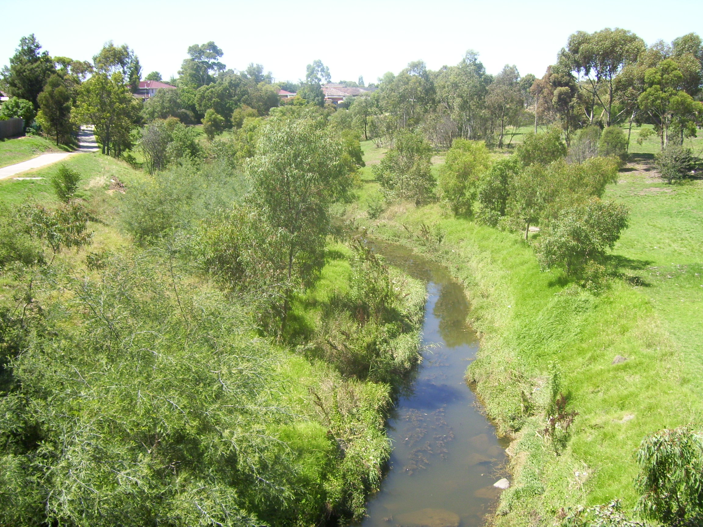
caption = Kororoit Creek
lga = City of Brimbank
postcode = 3022
pop = 2582 (2006)Census 2006 AUS | id = SSC21023 | name = Ardeer (State Suburb) | accessdate = 2007-09-26 | quick = on]
area = 2.1
est =
propval = $210,000 [ [http://www.domain.com.au/public/suburbprofile.aspx?suburb=Ardeer&postcode=3022 Ardeer] , accessed 9 August 2007]
stategov = Derrimut
fedgov = Gorton
dist1 = 16
location1=Melbourne
dist2 =
location2=
near-nw = Cairnlea
near-n = St Albans
near-ne = Albion
near-w = Deer Park
near-e = Albion
near-sw =
near-s = Sunshine West
near-se =Ardeer is a suburb in
Melbourne , Victoria,Australia . Its Local Government Area is theCity of Brimbank . It has a railway station on the Melton greater-metropolitan line.Kororoit Creek
A section of the
Kororoit Creek runs along the north and west border of Ardeer. TheKororoit Creek Trail contains wide open park space and native vegetation rarely seen so close to theMelbourne CBD .On October 2007
John Brumby announced that funding would be provided to link theKororoit Creek Trail to theFederation Trail joining together two western suburb bike paths.See also
*
City of Sunshine - the former local government area of which Ardeer was a part.References
External links
Wikimedia Foundation. 2010.
