- Balnarring, Victoria
Infobox Australian Place | type = town
name = Balnarring
state = vic
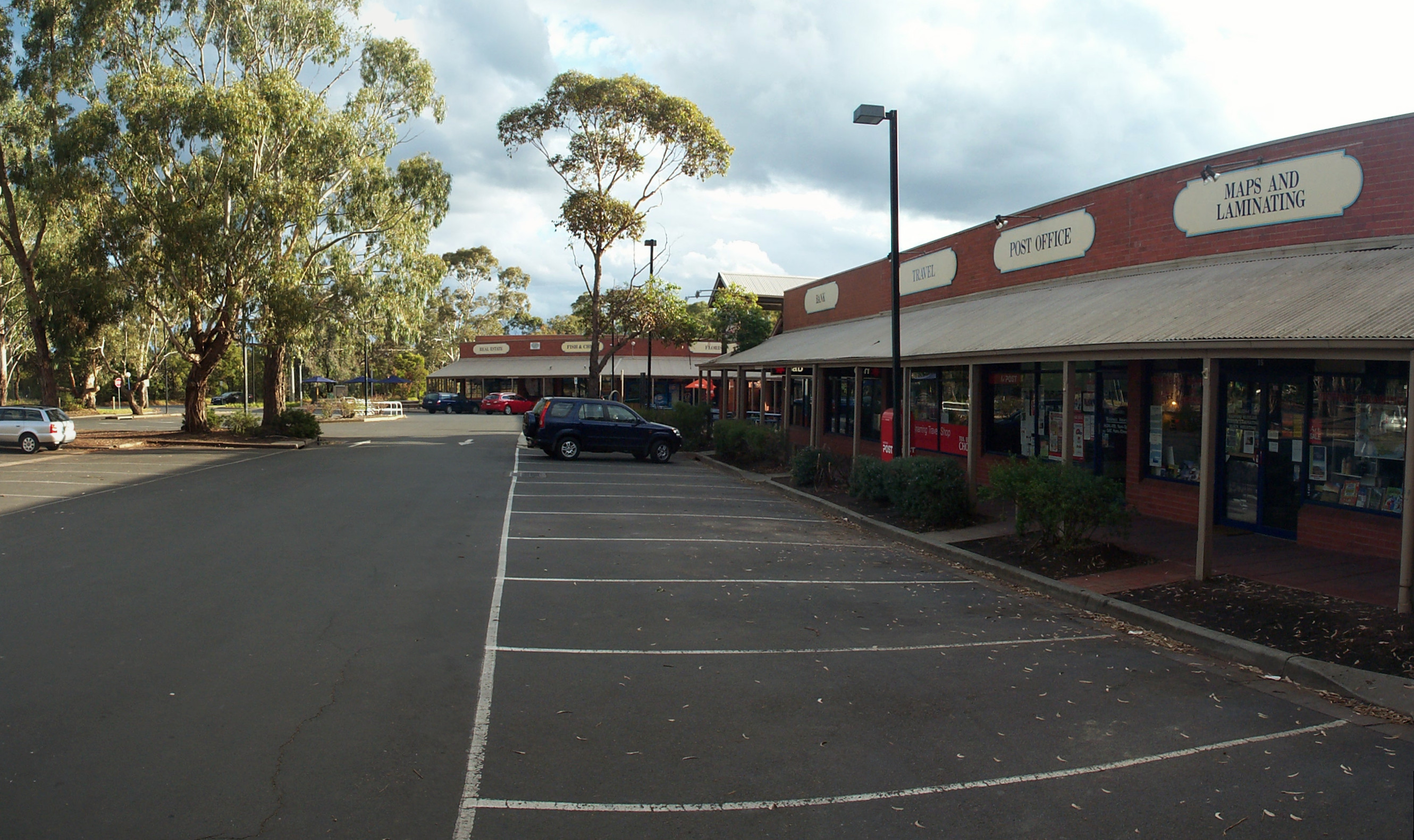
caption = Balnarring village shopping centre
lga = Shire of Mornington Peninsula
postcode = 3926
pop = 1,622 (2006)Census 2006 AUS | id = SSC21045 | name = Balnarring (State Suburb) | accessdate = 2007-10-01 | quick = on]
est = 1860s
stategov = Hastings
fedgov = Flinders
dist1 = 69
location1=Melbourne
dist2 = 12
location2= Hastings
near-nw = Merricks North
near-n = Hastings
near-ne = Bittern
near-w = Merricks North
near-e = Bittern
near-sw = Point Leo
near-s = Merricks Beach
near-se = Balnarring BeachBalnarring is a town in Victoria,
Australia , located in the southeasternMornington Peninsula about halfway between Hastings and Flinders. Its Local Government Area is theShire of Mornington Peninsula .History
The name Balnarring is
Bunurong in origin and means "camp in open place". The name, however, previously applied to the Parish of Balnarring (which included Merricks) and the town, previously called Tulum, was changed to Balnarring afterWorld War II . [cite web|url=http://www.mornpen.vic.gov.au/content/content.asp?cid=763&tid=763&tpid=396&cnid=1752|title=Townships - Balnarring|author=Shire of Mornington Peninsula|accessdate=2006-11-27]Early reports of the area suggested the region was "thick with honeysuckle and
sheoak ", and that the area from Somers to Point Leo contained "good soil, good grass, and open forest timbered with Gums wattle and She Oak trees". Early settlers were involved in wattle bark stripping and cutting piles and sleepers for shipping toMelbourne via Shoreham to the southwest. [cite web|url=http://www.mornpen.vic.gov.au/Documents/SE/PlanStrategic/HastHeritageStudyVol2.pdf|title=Volume 2, Environmental History|author=Graeme Butler & Associates|work=Hastings District Heritage Study Stage Two|accessdate=2006-11-27]From 1857 onwards, the Government enacted a series of Land Acts designed to open the land, dividing it into small blocks and hoping to create a living for small-scale farmers. The Parish of Balnarring was surveyed in 1865, as part of the "Agricultural Areaof Mount McMahon". Most of the selectors were orchardists although dairymen also took an interest in the area. In the 1920s, the construction of cool stores at Red Hill increased their ability to trade their produce with the outside world.
In 1866, a post office openedCitation
last = Premier Postal History | title = Post Office List | url = https://www.premierpostal.com/cgi-bin/wsProd.sh/Viewpocdwrapper.p?SortBy=VIC&country= | accessdate = 2008-04-11 ] , and a school shortly afterwards, and in 1869, an inn and store called the Tower Hotel operated by the Van Suylens on their property, "Warrawee", was established to serve local residents on the Frankston-Flinders road. This and the Sandy Point Road had already been established as tracks, as indicated on an 1874 map of the area. An 1891 map shows a blacksmith's store where the panel-beaters operation presently stands at this intersection.
A writer in 1902 described Balnarring as a "little wayside hamlet on the road between Hastings and Flinders....probably one of the least pretentious in the state. It consists chiefly of a state school, but there are a few buildings within sight of the main road". [As reported in "The Australasian", 26 April 1902. Quoted in the GBA work.] In 1962, the Victorian Municipal Directory stated Balnarring had a "post and telegraph office, two churches, mechanics institute and library".
The railway station in Balnarring opened on
December 2 ,1921 but, like its Red Hillbranch line , was relatively short-lived, officially closing onJune 29 ,1953 . However, it was kept in service for annual local events until about 10 years after the closure.On
23 August 1899 , the Balnarring Mechanics Institute was opened by the Hon. F.S. Grimwade (MLC North Yarra, 1891-1904). It was a timber hall, used as a community hall and social centre by the community until the 1960s. A new hall was built in 1969. In 1970, the Mechanics Institute building burned down, and in 1979 a reserve was declared in its original location.Present day
Balnarring is at the crossroads of two primary main roads in the south-eastern region of the Mornington Peninsula, namely Frankston-Flinders Road and Balnarring Road (from Mornington), and as a result is home to a few motels, a post office and several shops and cafes including an IGA supermarket. It also has a primary school, Balnarring Primary School. [Map 193,
Melway street directory (28th ed., 2001)] The nearby Balnarring racetrack is also famous for its picnic races and the Emu Plains Market, which operates monthly in summer months and is very popular with locals and tourists.Balnarring is served by the 782 bus route operated by Peninsula Bus Lines between Frankston and Flinders. [ [http://www.metlinkmelbourne.com.au/route/view/979 782 Frankston-Flinders] , effective 19 April 2004. Accessed
2006-11-27 .]References
*External links
* [http://www.visitwesternport.com.au/index.php?cmspage=32 Balnarring] (Western Port Tourism)
Wikimedia Foundation. 2010.