- Drážovce (Banská Bystrica)
-
Drážovce Village Country Slovakia Region Banská Bystrica District Krupina Elevation 196 m (643 ft) Coordinates 48°15′N 18°55′E / 48.25°N 18.917°E Area 8.03 km2 (3.1 sq mi) Population 123 (2008-01-01) Density 15 / km2 (39 / sq mi) First mentioned 1135 Postal code 962 68 Car plate KA 

 Location of Drážovce in Slovakia
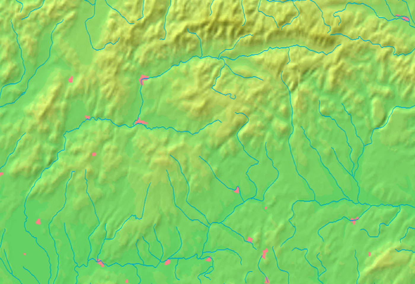
 Location of Drážovce in the Banská Bystrica Region
Statistics: MOŠ/MIS See Drážovce church for the church in Drážovce, Nitra.
Drážovce (German: Dahowitz; Hungarian: Darázsi) is a village and municipality in the Krupina District of the Banská Bystrica Region of Slovakia.
History
The village is first mentioned in Bzovík abbey’s list in 1135 (1135 Dras, 1286 Daras, 1349 Darassy, 1394 Vduarnokdaras, 1511 Daras utraque). It belonged to Hont Castle. In 1296 it was given to a certain Arnold from Banská Štiavnica, and from the 16th century it changed many owners: the local feudatory family Dárázsy, Dalmady, Jessenszky (18th century), Radvanszky and Sembery (another local family).
External links
Dudince · Krupina
Bzovík · Cerovo · Čabradský Vrbovok · Čekovce · Devičie · Dolné Mladonice · Dolný Badín · Domaníky · Drážovce · Drienovo · Hontianske Moravce · Hontianske Nemce · Hontianske Tesáre · Horné Mladonice · Horný Badín · Jalšovík · Kozí Vrbovok · Kráľovce-Krnišov · Lackov · Ladzany · Lišov · Litava · Medovarce · Rykynčice · Sebechleby · Selce · Senohrad · Súdovce · Sudince · Terany · Trpín · Uňatín · Zemiansky Vrbovok · Žibritov Categories:
- Villages and municipalities in Krupina District
- Banská Bystrica Region geography stubs


Wikimedia Foundation. 2010.