- Ferny Creek, Victoria
Infobox Australian Place | type = suburb
name = Ferny Creek
city = Melbourne
state = vic
caption =
lga = Shire of Yarra Ranges
postcode = 3786
pop = 1536 (2006)Census 2006 AUS | id = SSC21275 | name = Ferny Creek (State Suburb) | accessdate = 2007-10-01 | quick = on]
area = 5.3
est =
propval = $335,000 [ [http://www.domain.com.au/public/suburbprofile.aspx?suburb=Ferny%20Creek&postcode=3786 Ferny Creek] , accessed 27 November 2006]
stategov = Monbulk
fedgov = La Trobe
dist1 = 40
location1=Melbourne
dist2 = 5
location2= Belgrave
near-nw =
near-n = "Dandenong Ranges"
near-ne = Sassafras
near-w = "Dandenong Ranges"
near-e = "Dandenong Ranges"
near-sw = Upper Ferntree Gully
near-s = Upwey
near-se = TecomaFerny Creek is a
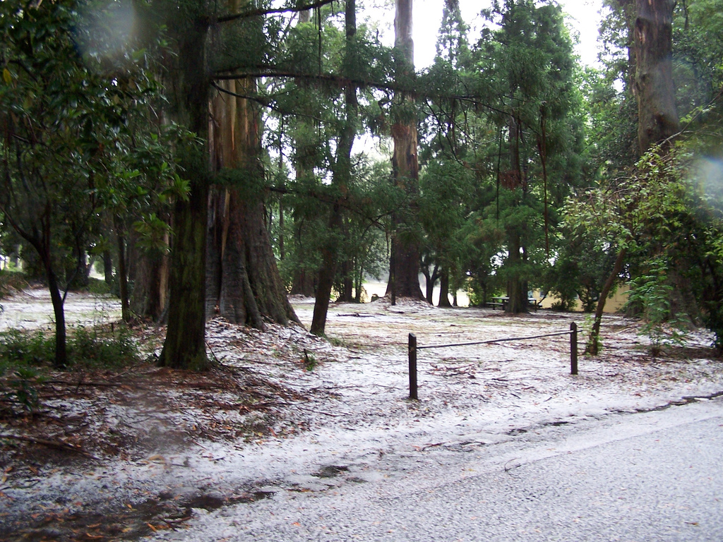
suburb inMelbourne , Victoria,Australia . It is in the Local Government Area of theShire of Yarra Ranges .The suburb is built around and to the south of Dunns Hill (height 561m) with most of Ferny Creek lying between 400 and 500 metres above sea level. It is named for the stream running through it, Ferny Creek. The suburb is largely surrounded by conservation zones and national parks with the Dandenongs Ranges national park on its northern and west sides, the Upwey habit corridor to the south and Sherbrooke forest to the east.
History
Originally settled in the late nineteenth century by farmers and prominent Melbourne figures who built weekend cottages, Ferny Creek is well known for its established European gardens, and beautiful range of native fauna and flora. The Post Office opened around August 1904 as One Tree Hill and was renamed Ferny Creek around August 1904. Citation
last = Premier Postal History | title = Post Office List | url = https://www.premierpostal.com/cgi-bin/wsProd.sh/Viewpocdwrapper.p?SortBy=VIC&country= | accessdate = 2008-04-11 ]The Town today
As a result of its elevation Ferny Creek is one of the coldest and wettest suburbs in
Melbourne with a mean annual rainfall ranging from 1300mm to 1450mm. The cool wet climate results in local pockets of wet temperate rainforest in a number of the deeper gullies (bordering Sherbrooke, Mast Gully and Ferny creeks), and extensive wet and dry Sclerophyll [http://en.wikipedia.org/wiki/Sclerophyll] . The local flora is comprehensively described in the book Sherbrooke Forest - its flora and history by the Friends of Sherbrooke Forest [http://home.vicnet.net.au/~donvrac/] .A number of conservation groups are active in the local area including the Friends of Ferny Creek and Friends of Sherbrooke Forest [http://home.vicnet.net.au/~donvrac/] . The greatest threat to the local flora and fauna is introduced plant pests.
As a result of its elevation snow typically falls one or two times a year, mostly between the months of June and October. A rare summer snow occurred on Christmas day 2006 [http://commons.wikimedia.org/wiki/
] . The local region has experienced substantial warming in recent decades [http://www.bom.gov.au/cgi-bin/silo/reg/cli_chg/timeseries.cgi] [http://www.bom.gov.au/web01/ncc/www/cli_chg/timeseries/tmean/0112/vic/latest.gif] and heavy snowfalls which were once common have become very rare. A [http://www.bom.gov.au/products/IDV60901/IDV60901.94872.shtml weather station] sits near the summit of Dunns Hill.Ferny Creek was among the suburbs burned in the Dandenong Ranges fire of
21 January 1997 , and has been involved in numerous bushfires throughout settlement.There are a number of bed and breakfast inns located in Ferny Creek. There is also a primary school (Ferny Creek Primary School) and a General Store (Ferny Creek General Store) that sells many imported beers. There is also a CFA fire station (Sassafras-Ferny Creek Rural Fire Brigade) and a tennis club, a recreation reserve and a nursury, as well as a World War One Memorial.
Ferny Creek is home to a popular attraction known as "The Thousand Steps" - a bushwalking track built by Australian Army Engineers that runs through the Ferntree Gully National Park and provides a fitness challenge to those who attempt it. The steps begin at the bottom of the hill in Upper Ferntree Gully and the top of the steps being located at Ferny Creek. The track is a minute representation of the ordeals suffered by the Australian Army in Kokoda during World War Two.
The community of Ferny Creek is close and resilient, as proved in its recovery from the fires that destroyed nearly 40 local homes and killed three local residents (Genevieve Erin, Graham and Jenny Lindroth). The fires were deliberately lit in bushland below the settlement on Tuesday 21 January 1997, and in the extreme conditions of that day, raced up the steep slopes and were burning gardens and property before most residents were even aware of a problem. After the bushfires the small community rallied together for a fundraising event held at the local Ferny Creek Reserve and Tennis Club. Money was raised for families who lost their houses and personal items in the devastation.
Since that time, residents have focused their efforts on making responsible choices when considering their fire safety plans and in addition to having a significantly higher than average membership rate of CFA's Community Fire Guard program, and a pro-active approach to keeping properties prepared, the Ferny Creek Bushfire Alert System was installed to provide a siren signal to alert residents to the possibility of a threat to their safety. Residents are educated to respond appropriately to the siren by simply seeking further information via another source (radio, internet, phone tree, scanner, television, personal investigation etc). It is not a signal to evacuate. The Alert System is a unique co-operative project between residents, Shire of Yarra Ranges, CFA, Victoria Police, Dept of Justice and Parks Victoria.
Together with its neighbouring township Olinda Ferny Creek has an
Australian Rules football team (Olinda-Ferny Creek) competing in theYarra Valley Mountain District Football League .References
External links
Wikimedia Foundation. 2010.