- Coolah, New South Wales
-
Coolah
New South Wales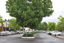
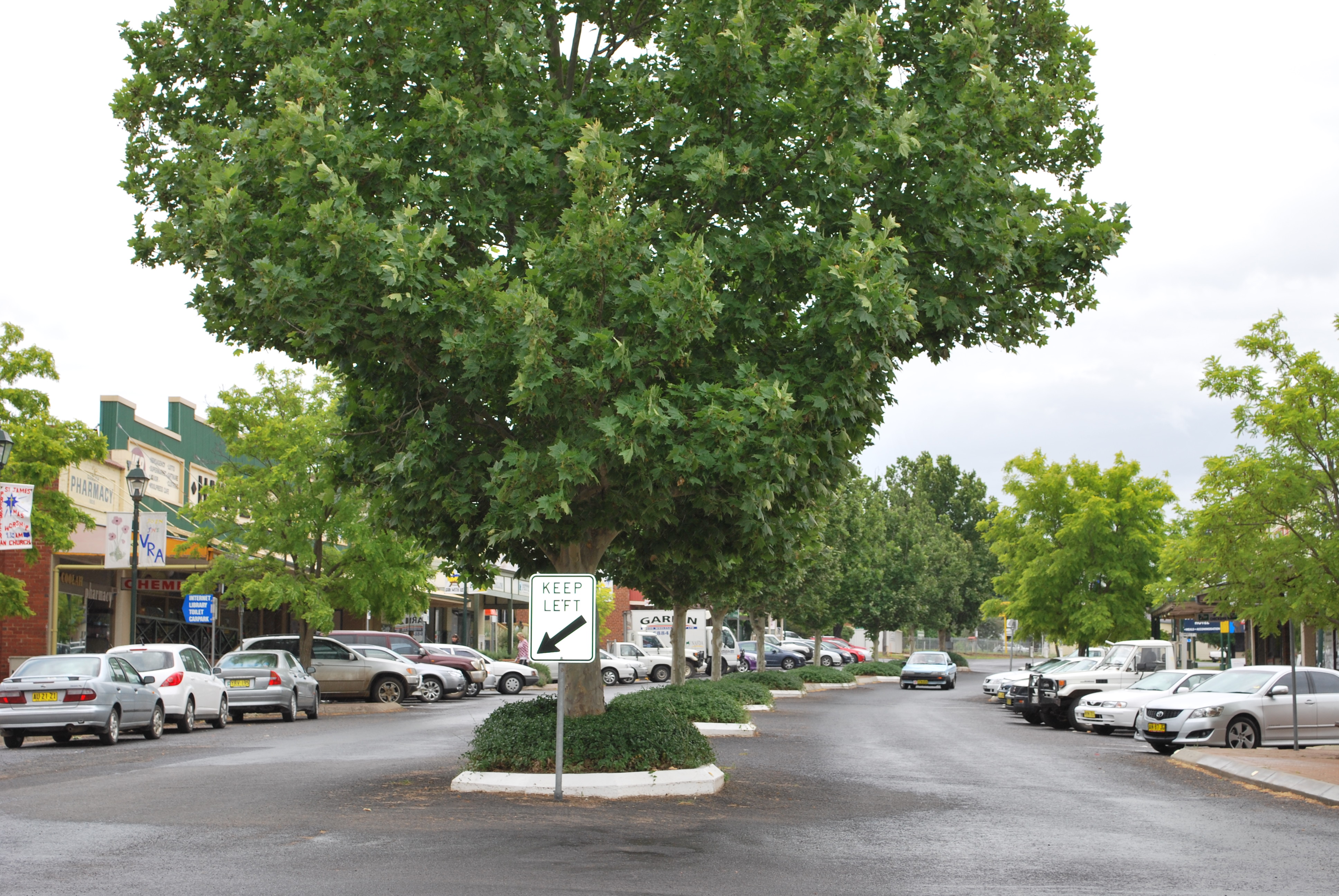
Main street
 Coolah
Population: 798[1] Postcode: 2843 Coordinates: 31°50′S 149°43′E / 31.833°S 149.717°ECoordinates: 31°50′S 149°43′E / 31.833°S 149.717°E Location: LGA: Warrumbungle Shire State District: Barwon Federal Division: Parkes Coolah is a town in the central northern part of New South Wales, Australia in Warrumbungle Shire. At the 2006 census, Coolah had a population of 798.[1]
On the northeastern side of the area is the Liverpool Range with the Coolah Tops National Park. Most of the region is agricultural with sheep and cattle raising and crops grown along the Talbragar River and Coolaburragundy River valleys. Because there are no major regional towns in the area, and no major roads pass through it, the Coolah region is very quiet,safe and bucolic.[citation needed]
History
The Coolah area was first settled by pastoralists around 1840.
Coolah Post Office opened on 1 January 1849.[2]
Coolah was served by a branch railway from March 1920 until May 1975.[3]
Cadbury Schweppes introduced a citrus-flavored energy drink in the US in 2006 named Coolah Energy. The text on the packaging for this product refers to the Australian Cadbury Schweppes product Solo as its inspiration, along with the lifestyle of the inhabitants of the town of Coolah.
From the Coolah Energy can:
Coolah is a village in Australia where everyone's got a little more energy. They paint. Play rugby. Sing. Throw darts. Dance. And they drink Solo, the beverage with a lemon tang that was the inspiration for Coolah Energy. We added Australian Boronia, Taurine and B-Vitamins to make this one bonzer drink. So pop the top and give it a bash! Welcome to the land of Coolah.
References
- ^ a b Australian Bureau of Statistics (25 October 2007). "Coolah (L) (Urban Centre/Locality)". 2006 Census QuickStats. http://www.censusdata.abs.gov.au/ABSNavigation/prenav/LocationSearch?collection=Census&period=2006&areacode=UCL120800&producttype=QuickStats&breadcrumb=PL&action=401. Retrieved 2008-11-28.
- ^ Premier Postal History. "Post Office List". Premier Postal Auctions. https://www.premierpostal.com/cgi-bin/wsProd.sh/Viewpocdwrapper.p?SortBy=NSW&country=. Retrieved 2011-05-26.
- ^ A Short History of the Craboon to Coolah Branch Line Preston, R.G. Australian Railway Historical Society Bulletin, October, 1976 pp213-225
Categories:- Towns in New South Wales
- New South Wales geography stubs

Wikimedia Foundation. 2010.